
TENTEN Campus Glendale
414 N Orange St,
Glendale, CA 91203
$3,128 - $5,277 Total Monthly Price
Studio - 2 Beds
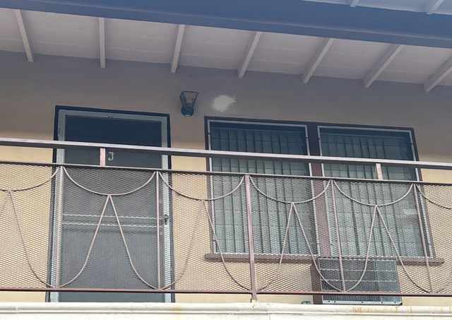

Unit G is a 2 bedroom , one bath, renovated bathroom, one designated parking space , second floor, very nice quiet neighborhood, beautiful area, close to stores, schools and community area. One month rent plus security deposit plus $500 cleaning fee will be collected at time of lease signing. 1130 San Rafael Ave is an apartment community located in Los Angeles County and the 91202 ZIP Code. This area is served by the Glendale Unified attendance zone.
1130 San Rafael Ave is an apartment community located in Los Angeles County and the 91202 ZIP Code. This area is served by the Glendale Unified School District attendance zone.
Air Conditioning
High Speed Internet Access
Smoke Free
Kitchen
Between the Verdugo Mountains and Los Angeles, Glendale combines suburban living with metropolitan convenience. The city offers various housing options, from apartments in downtown near the Americana at Brand to established residential areas like Adams Hill and Verdugo Woodlands. Current rental prices range from $2,045 for studios to $4,344 for four-bedroom units, with annual increases between 1.9% and 3%. Brand Park offers hiking trails and houses the Brand Library, while the historic Alex Theatre continues its tradition of entertainment and cultural programming.
Glendale's location provides easy access to major employment centers, including DreamWorks Animation and Walt Disney Imagineering. The Glendale Galleria and Americana at Brand serve as premier shopping destinations, while the city's dining scene features numerous restaurants specializing in Armenian and international cuisine. Residents appreciate the city's parks system, public services, and transportation options.
Learn more about living in GlendaleCompare neighborhood and city base rent averages by bedroom.
| Verdugo Viejo | Glendale, CA | |
|---|---|---|
| Studio | $2,032 | $2,014 |
| 1 Bedroom | $2,161 | $2,097 |
| 2 Bedrooms | $2,763 | $2,659 |
| 3 Bedrooms | $3,593 | $3,448 |
| Colleges & Universities | Distance | ||
|---|---|---|---|
| Colleges & Universities | Distance | ||
| Drive: | 6 min | 2.4 mi | |
| Drive: | 10 min | 4.8 mi | |
| Drive: | 8 min | 4.9 mi | |
| Drive: | 16 min | 8.8 mi |


Transportation options available in Glendale include Vermont/Sunset Station, located 6.3 miles from 1130 San Rafael Ave. 1130 San Rafael Ave is near Bob Hope, located 9.7 miles or 15 minutes away, and Los Angeles International, located 24.9 miles or 38 minutes away.
| Transit / Subway | Distance | ||
|---|---|---|---|
| Transit / Subway | Distance | ||
|
|
Drive: | 11 min | 6.3 mi |
|
|
Drive: | 14 min | 6.9 mi |
|
|
Drive: | 11 min | 6.9 mi |
|
|
Drive: | 12 min | 6.9 mi |
|
|
Drive: | 14 min | 7.9 mi |
| Commuter Rail | Distance | ||
|---|---|---|---|
| Commuter Rail | Distance | ||
|
|
Drive: | 6 min | 3.1 mi |
|
|
Drive: | 7 min | 4.3 mi |
|
|
Drive: | 11 min | 7.0 mi |
| Drive: | 11 min | 7.5 mi | |
|
|
Drive: | 16 min | 9.8 mi |
| Airports | Distance | ||
|---|---|---|---|
| Airports | Distance | ||
|
Bob Hope
|
Drive: | 15 min | 9.7 mi |
|
Los Angeles International
|
Drive: | 38 min | 24.9 mi |
Scores provided by
Traffic
-Airport
-Businesses
-Scores provided by
HowLoud What is a Sound Score Rating? A Sound Score Rating aggregates noise caused by vehicle traffic, airplane traffic and local sources. How It WorksTime and distance from 1130 San Rafael Ave.
| Shopping Centers | Distance | ||
|---|---|---|---|
| Shopping Centers | Distance | ||
| Walk: | 5 min | 0.3 mi | |
| Walk: | 6 min | 0.3 mi | |
| Walk: | 10 min | 0.5 mi |
| Parks and Recreation | Distance | ||
|---|---|---|---|
| Parks and Recreation | Distance | ||
|
Los Angeles Zoo
|
Drive: | 14 min | 4.5 mi |
|
Bird Sanctuary
|
Drive: | 11 min | 5.9 mi |
|
Descanso Gardens
|
Drive: | 12 min | 6.2 mi |
|
Griffith Observatory
|
Drive: | 15 min | 7.1 mi |
|
Griffith Park
|
Drive: | 24 min | 9.3 mi |
| Hospitals | Distance | ||
|---|---|---|---|
| Hospitals | Distance | ||
| Drive: | 6 min | 2.8 mi | |
| Drive: | 7 min | 3.0 mi | |
| Drive: | 7 min | 4.5 mi |
| Military Bases | Distance | ||
|---|---|---|---|
| Military Bases | Distance | ||
| Drive: | 35 min | 26.5 mi |
What Are Walk Score®, Transit Score®, and Bike Score® Ratings?
Walk Score® measures the walkability of any address. Transit Score® measures access to public transit. Bike Score® measures the bikeability of any address.
What is a Sound Score Rating?
A Sound Score Rating aggregates noise caused by vehicle traffic, airplane traffic and local sources.

1130 San Rafael Ave
Glendale, CA 91202


