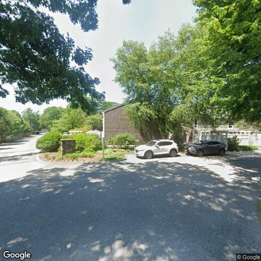
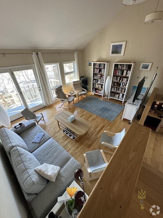
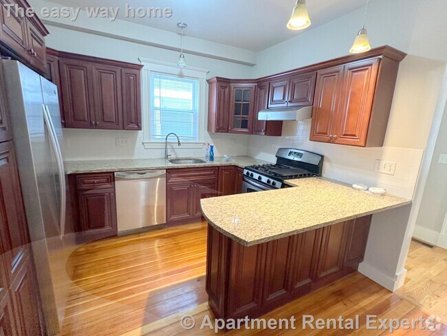
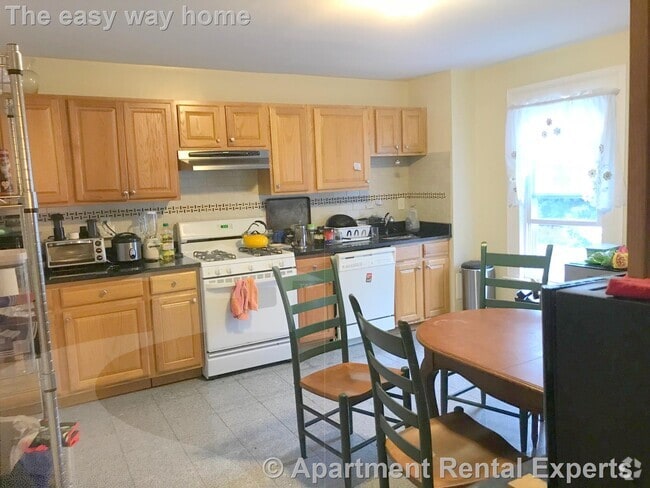
11 Oak St
11 Oak St
Wellesley, MA 02482
2 Weeks Ago
Favorites
11 Oak St

Favorites
Check Back Soon for Upcoming Availability
Location
Get Directions
The suburban town of Wellesley is located just west of Newton, about fifteen miles from Boston proper. This upscale community is home to the private Wellesley College and Babson College, with numerous other higher learning institutions in the neighboring towns. Widely known as one of the most desirable Boston suburbs for families, Wellesley boasts a world-class public school system, an exceptionally low crime rate, and abundant public parks within walking distance of most neighborhoods. The rental market features a healthy mix of apartments, condos, and houses, catering to the needs of Wellesley’s diverse population.
Learn more about living in Wellesley
Education
| Colleges & Universities | Distance | ||
|---|---|---|---|
| Colleges & Universities | Distance | ||
| Drive: | 6 min | 1.8 mi | |
| Drive: | 6 min | 2.3 mi | |
| Drive: | 15 min | 6.2 mi | |
| Drive: | 16 min | 8.4 mi |
11 Oak St is within 6 minutes or 1.8 miles from Wellesley College. It is also near Babson College and Brandeis University.
Transportation options available in Wellesley include Woodland Station, located 3.7 miles from 11 Oak St. 11 Oak St is near General Edward Lawrence Logan International, located 17.7 miles or 30 minutes away, and Worcester Regional, located 32.7 miles or 56 minutes away.
| Transit / Subway | Distance | ||
|---|---|---|---|
| Transit / Subway | Distance | ||
|
|
Drive: | 8 min | 3.7 mi |
|
|
Drive: | 9 min | 3.8 mi |
|
|
Drive: | 9 min | 4.4 mi |
|
|
Drive: | 11 min | 5.0 mi |
|
|
Drive: | 11 min | 5.2 mi |
| Commuter Rail | Distance | ||
|---|---|---|---|
| Commuter Rail | Distance | ||
|
|
Walk: | 10 min | 0.6 mi |
|
|
Drive: | 3 min | 1.2 mi |
|
|
Drive: | 6 min | 2.5 mi |
|
|
Drive: | 7 min | 3.7 mi |
|
|
Drive: | 9 min | 3.8 mi |
| Airports | Distance | ||
|---|---|---|---|
| Airports | Distance | ||
|
General Edward Lawrence Logan International
|
Drive: | 30 min | 17.7 mi |
|
Worcester Regional
|
Drive: | 56 min | 32.7 mi |
Time and distance from 11 Oak St.
| Shopping Centers | Distance | ||
|---|---|---|---|
| Shopping Centers | Distance | ||
| Walk: | 6 min | 0.3 mi | |
| Walk: | 10 min | 0.5 mi | |
| Walk: | 11 min | 0.6 mi |
11 Oak St has 3 shopping centers within 0.6 mile, which is about a 11-minute walk. The miles and minutes will be for the farthest away property.
| Parks and Recreation | Distance | ||
|---|---|---|---|
| Parks and Recreation | Distance | ||
|
Whitin Observatory
|
Drive: | 4 min | 1.1 mi |
|
Wellesley College Botanic Gardens
|
Drive: | 3 min | 1.4 mi |
|
Weezie's Garden for Children
|
Drive: | 9 min | 3.1 mi |
|
Elm Bank Reservation
|
Drive: | 9 min | 3.1 mi |
|
Horticultural Society at Elm Bank
|
Drive: | 10 min | 3.3 mi |
11 Oak St has 5 parks within 3.3 miles, including Whitin Observatory, Wellesley College Botanic Gardens, and Horticultural Society at Elm Bank.
| Hospitals | Distance | ||
|---|---|---|---|
| Hospitals | Distance | ||
| Drive: | 7 min | 3.5 mi | |
| Drive: | 8 min | 4.2 mi | |
| Drive: | 14 min | 6.7 mi |
11 Oak St has 3 hospitals within 6.7 miles, the nearest is Newton - Wellesley Hospital which is 3.5 miles away and a 7 minute drive.
| Military Bases | Distance | ||
|---|---|---|---|
| Military Bases | Distance | ||
| Drive: | 9 min | 4.3 mi | |
| Drive: | 25 min | 13.6 mi |
11 Oak St is 4.3 miles from US Military Reservation, and is convenient to other military bases, including Hanscom Air Force Base.
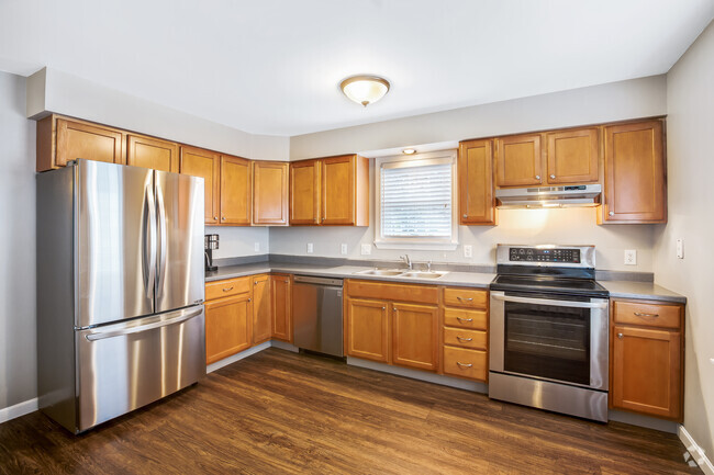
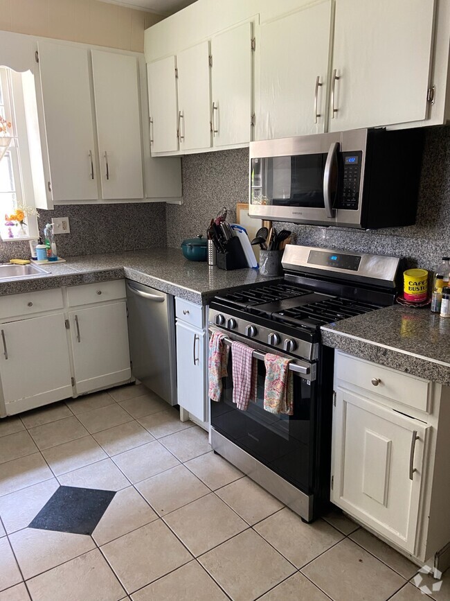
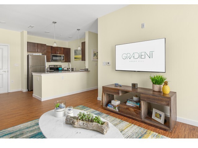
You May Also Like
Similar Rentals Nearby


What Are Walk Score®, Transit Score®, and Bike Score® Ratings?
Walk Score® measures the walkability of any address. Transit Score® measures access to public transit. Bike Score® measures the bikeability of any address.
What is a Sound Score Rating?
A Sound Score Rating aggregates noise caused by vehicle traffic, airplane traffic and local sources