

11 Deer Path
11 Deer Path
West Milford, NJ 07480
2 Weeks Ago
Favorites
11 Deer Path

Favorites
Check Back Soon for Upcoming Availability
| Beds | Baths | Average SF |
|---|---|---|
| 2 Bedrooms 2 Bedrooms 2 Br | 2 Baths 2 Baths 2 Ba | — |
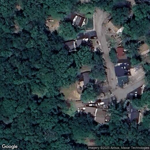
Location
Get Directions
A sparse suburb known for its dense woodlands and family-friendly atmosphere, West Milford is home to a close-knit community that enjoys outdoor exploration. West Milford is surrounded by Sterling Forest State Park, Wawayanda State Park, Farny State Park, Norvin Green State Forest, and Ringwood State Park. Hiking and mountain biking are second nature to residents of this forested town!
West Milford sits along the edge of New Jersey and New York, offering a reasonable commute into New York City. Manhattan sits about 40 miles southeast of West Milford. Though residents can easily travel to and from the Big Apple, West Milford feels very secluded and offers a laid-back way of life. Surrounded by natural beauty, West Milford is the perfect woodland getaway with affordable rentals and small-town charm.
Learn more about living in West Milford
Education
| Colleges & Universities | Distance | ||
|---|---|---|---|
| Colleges & Universities | Distance | ||
| Drive: | 18 min | 8.3 mi | |
| Drive: | 32 min | 15.8 mi | |
| Drive: | 31 min | 18.3 mi | |
| Drive: | 33 min | 21.5 mi |
11 Deer Path is within 18 minutes or 8.3 miles from Passaic County C.C., Wanaque. It is also near William Paterson University and Ramapo College of New Jersey.
You May Also Like
Similar Rentals Nearby


What Are Walk Score®, Transit Score®, and Bike Score® Ratings?
Walk Score® measures the walkability of any address. Transit Score® measures access to public transit. Bike Score® measures the bikeability of any address.
What is a Sound Score Rating?
A Sound Score Rating aggregates noise caused by vehicle traffic, airplane traffic and local sources
11 Deer Path
West Milford, NJ 07480