
")
3 Beds
$727+
4 Beds
$657+
Total Monthly Price
Total Monthly Price
New
Prices include base rent and required monthly fees of $51 - $52. Variable costs based on usage may apply.
Base Rent:
3 Beds
$675+
4 Beds
$605+
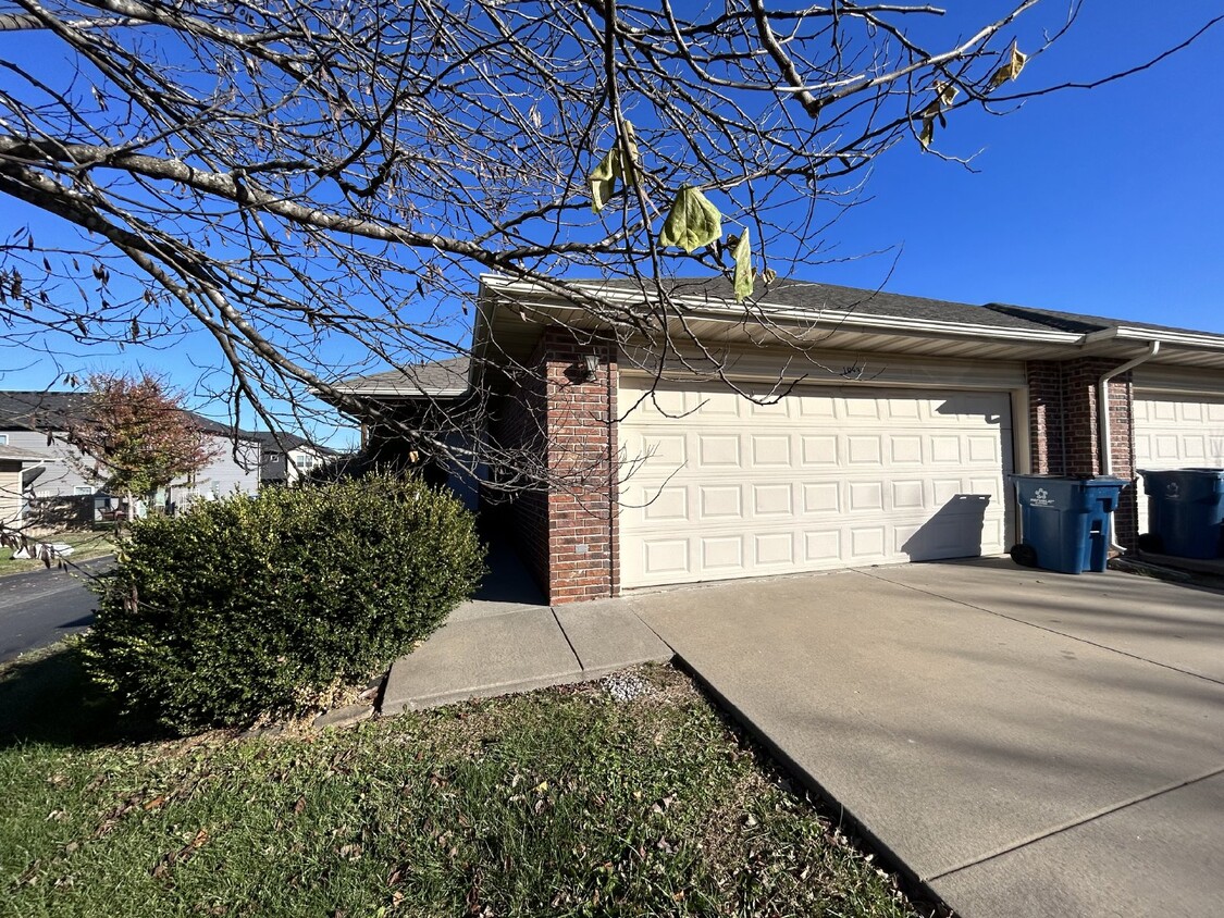
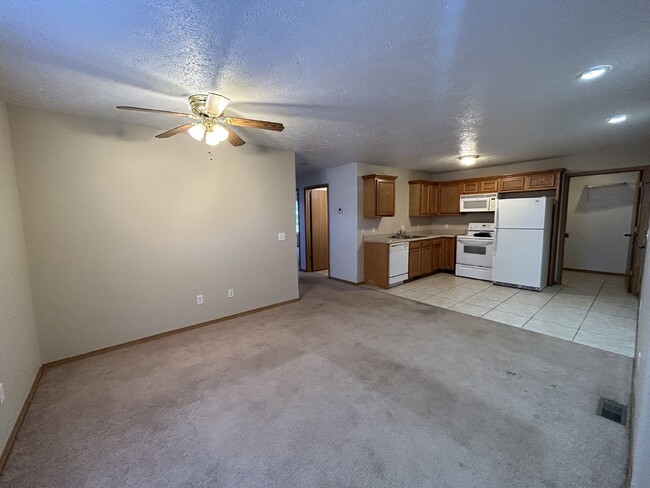
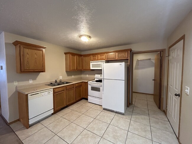
Pets Allowed Fitness Center Pool Dishwasher Refrigerator Kitchen


