

$1,500 / Month

10720 Chert St

,

El Paso, TX 79924

Share Listing
Favorites
915-996-3061
  • Bedrooms

    3

  • Bathrooms

    2

  • Square Feet

    993 sq ft

  • Available

    Available Now

10720 Chert St
Share Listing
Favorites

About This Home

Available Now

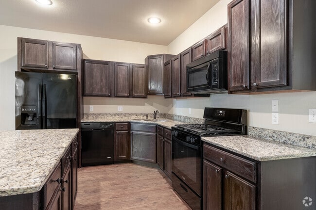
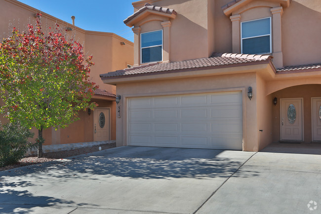
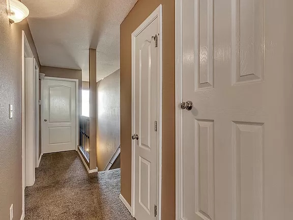
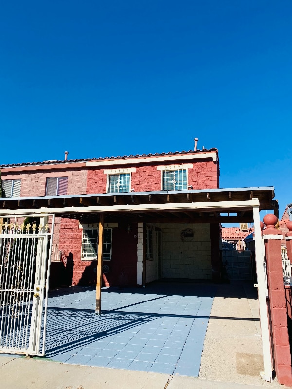
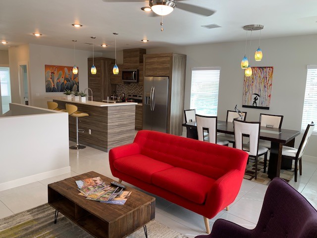
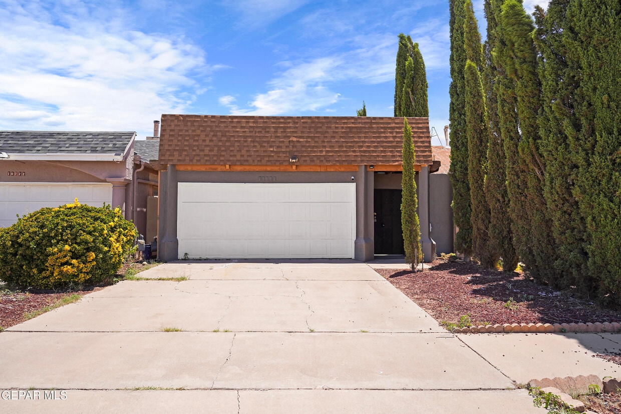
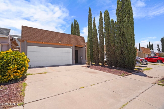
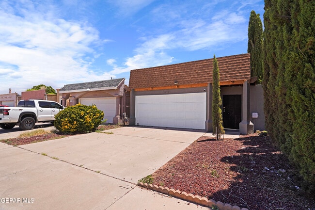
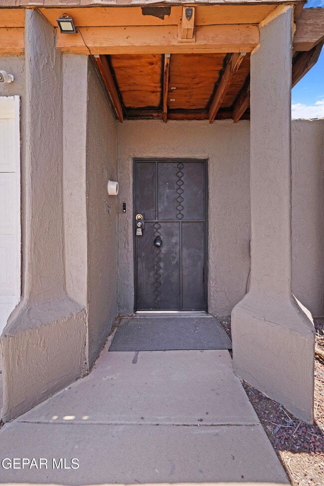
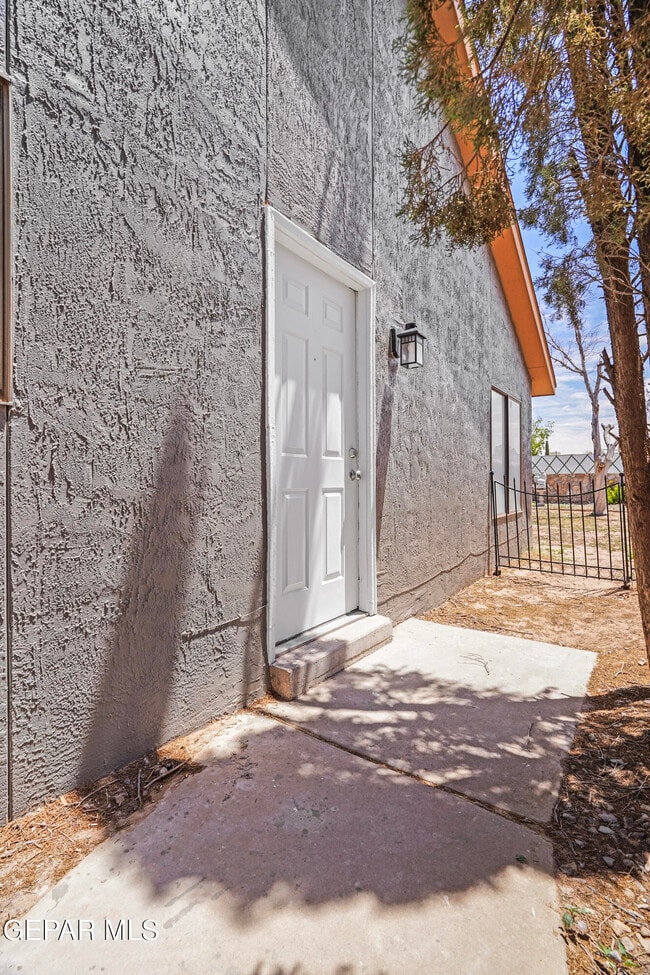
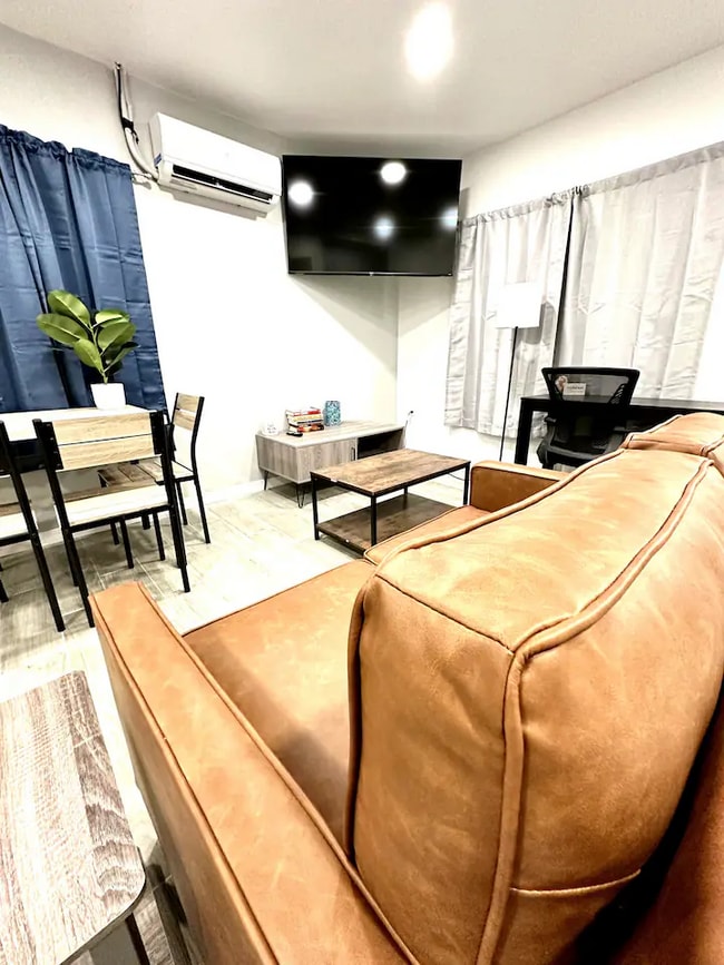
Welcome to 10720 Chert Street,a charming and well-maintained rental home in Northeast El Paso offering comfort,space,and convenience. This inviting property features a functional layout with bright and welcoming living areas designed for everyday living. The spacious living room flows into a practical kitchen with ample cabinetry,generous counter space,and a cozy dining area perfect for family meals or entertaining. The primary suite provides a relaxing retreat with a private bathroom and comfortable closet space,while the additional bedrooms offer flexibility for family,guests,or a home office. Enjoy refrigerated air,an attached garage,and a private backyard ideal for relaxing or outdoor gatherings. Conveniently located near Fort Bliss,schools,parks,shopping,dining,and major roadways,this home offers easy access to everything you need. Move-in ready,schedule your showing today! MLS ID 947047

10720 Chert St is a townhome located in El Paso County and the 79924 ZIP Code. This area is served by the Ysleta Independent School District attendance zone.

* Price shown is base rent. Excludes user-selected optional fees and variable or usage-based fees and required charges due at or prior to move-in or at move-out. Price, availability, fees, and any applicable rent special are subject to change without notice.
* Square footage definitions vary. Displayed square footage is approximate.

Contact

  • Listed by Uriel Ruiz D Esparza | PCS Home Realty
  • Phone Number
  • Contact
  • Source
    Greater El Paso Association of Realtors
Copyright © 2026 Greater El Paso Association of Realtors. All rights reserved. All information provided by the listing agent/broker is deemed reliable but is not guaranteed and should be independently verified.
| Edit

Under 30 minutes

Commute Time is calculated at rush hour.
City - El Paso

El Paso sits where West Texas, New Mexico, and the Mexican state of Chihuahua converge, giving the city a cross-border identity that shapes everything from its architecture to its daily rhythm. With the Franklin Mountains rising inside city limits and the Rio Grande forming its southern edge, the geography alone sets it apart from anywhere else in Texas. Fort Bliss, one of the largest U.S. Army installations in the country, and the University of Texas at El Paso are two of the city's most significant economic and institutional anchors. The Chamizal National Memorial marks the site of a peacefully resolved international border dispute, a piece of history few American cities can claim.

Neighborhoods range widely in character. Manhattan Heights offers historic homes close to downtown, while Northeast El Paso spreads out with newer residential development near Fort Bliss. Kern Place, adjacent to UTEP's campus, has an established, walkable feel.

Learn more about living in El Paso 
Education
Colleges & Universities Distance
Drive: 13 min 5.8 mi
Drive: 28 min 15.8 mi
Drive: 27 min 16.6 mi
Drive: 30 min 17.1 mi
10720 Chert St is within 13 minutes or 5.8 miles from El Paso C.C., Transmountain. It is also near UT El Paso and El Paso C.C., Valle Verde.
Schools
Public Elementary School
Grades PK-5
589 Students
Attendance Zone
Public Middle School
Grades 6-8
1,166 Students
Attendance Zone
Public High School
Grades 9-12
1,564 Students
Attendance Zone
Private Elementary & Middle School
Grades PK-8
Nearby
Private Elementary, Middle & High School
Grades PK-12
85 Students
Nearby
Transportation

10720 Chert St is near El Paso International, located 13.9 miles or 28 minutes away.

Airports Distance
Airports Distance
El Paso International
Drive: 28 min 13.9 mi
Getting Around
Somewhat Walkable
Walkability
20 / 100
Limited Public Transit
Transit
30 / 100
Very Drivable
Drivability
80 / 100
Somewhat Bikeable
Bikeability
30 / 100

Scores provided by

What do Walkability, Transit, Drivability, and Bikeability mean? Walkability measures the walking distance to day-to-day needs. Transit measures access to public transportation. Drivability measures congestion, parking availability, and access to major roads. Bikeability measures the suitability for cycling. How It Works
Active
Soundscore
76 / 100

Traffic

Busy

Airport

Calm

Businesses

Calm

Scores provided by

HowLoud What is a Sound Score Rating? A Sound Score Rating aggregates noise caused by vehicle traffic, airplane traffic and local sources. How It Works
Points of Interest

Time and distance from 10720 Chert St.

Shopping Centers Distance
Drive: 4 min 2.0 mi
Drive: 5 min 2.6 mi
Drive: 6 min 2.9 mi
10720 Chert St has 3 shopping centers within 2.9 miles, which is about a 6-minute drive. The miles and minutes will be for the farthest away property.
Parks and Recreation Distance
Franklin Mountains State Park
Drive: 20 min 11.0 mi
Wyler Aerial Tramway
Drive: 23 min 11.8 mi
Gene Roddenberry Planetarium
Drive: 23 min 12.6 mi
10720 Chert St has 3 parks within 12.6 miles, including Franklin Mountains State Park, Gene Roddenberry Planetarium, and Wyler Aerial Tramway.
Hospitals Distance
Hospitals Distance
Drive: 22 min 10.6 mi
10720 Chert St is 10.6 miles and a 22 minute drive from William Beaumont Army Medical Center (Fort Bliss).
Military Bases Distance
Drive: 22 min 11.6 mi
Drive: 149 min 97.8 mi
Drive: 146 min 102.9 mi
10720 Chert St has 3 military bases within 102.9 miles, the nearest is Fort Bliss which is 11.6 miles away and a 22 minute drive.

You May Also Like

Similar Rentals Nearby