$2,200
Total Monthly Price
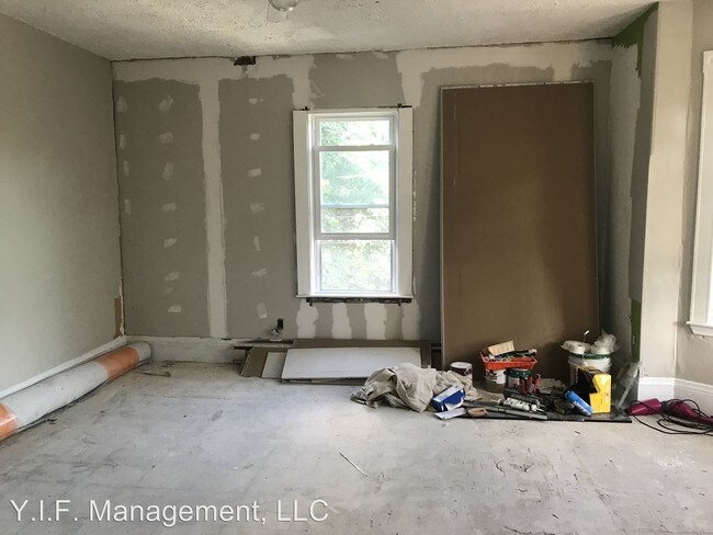
107 Heath St
Jamaica Plain, MA 02130
2 Weeks Ago
|
Edit
Favorites
107 Heath St

Favorites
Check Back Soon for Upcoming Availability
| Beds | Baths | Average SF |
|---|---|---|
| 3 Bedrooms 3 Bedrooms 3 Br | 1 Bath 1 Bath 1 Ba | — |
About This Property
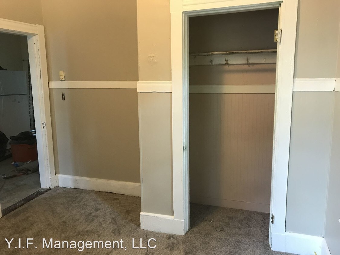
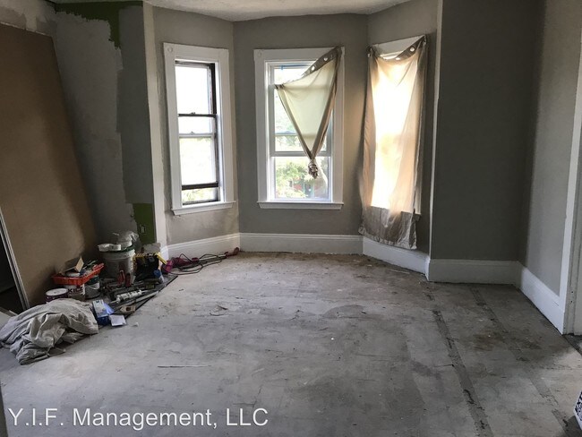
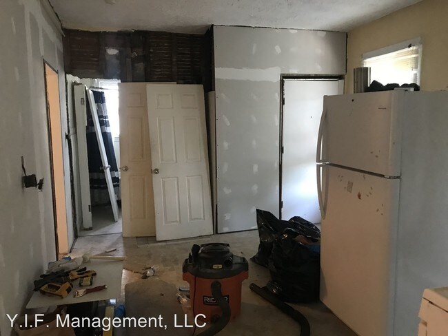
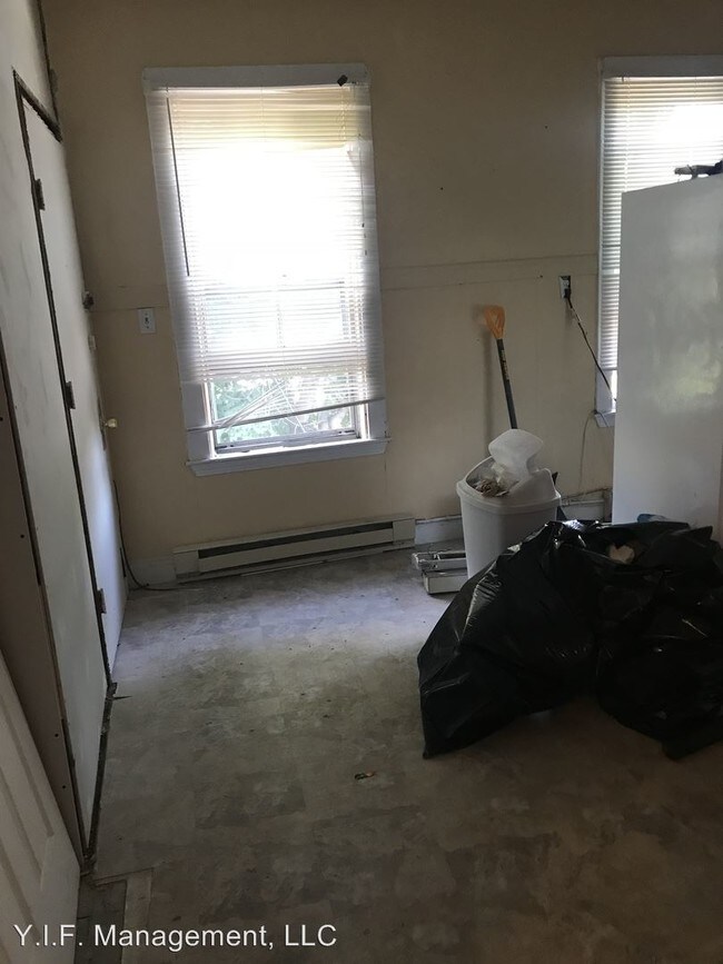
(617) 202-3815 - 2 plus bed in JP - Parking, Close to Transportation - Great 2 Bed with office or small third bedroom with parking, pet friendly Rent: $2200 Beds: 3 Baths: 1 Pet: Pet Friendly (with restrictions) Features: Parking off street Available September 1, 2019 $2200.00 per month (RLNE2369506) Pet policies: Small Dogs Allowed, Cats Allowed, Large Dogs Allowed.
107 Heath St is a condo located in Suffolk County and the 02130 ZIP Code. This area is served by the Boston Public Schools attendance zone.
107 Heath St,
Jamaica Plain,
MA
02130
Widely recognized as one of Boston’s greenest and most diverse neighborhoods, Jamaica Plain (or “JP,” as locals call it) is surrounded by the city’s “Emerald Necklace” of parks. For residents in search of a respite from the busy streets and high energy of city life, Jamaica Plain offers a green getaway. Popular parks that surround the area include Olmsted Park, Southwest Corridor Park, and Mozart Park. Harvard’s Arnold Arboretum is one of the main attractions, taking up a large portion of the neighborhood’s south end. Much of the dining and entertainment lies along Centre Street, in the middle and northern sections of the neighborhood. Rail service connects Jamaica Plain to the rest of the Boston area, with several stops along the eastern edge of the neighborhood.
Professionals who inhabit this neighborhood love that JP is just 5 minutes outside of Downtown Boston. Commuting via car can be tricky – with busy streets and limited city parking, it may be easier to use rail service.
Learn more about living in Jamaica Plain
Education
| Colleges & Universities | Distance | ||
|---|---|---|---|
| Colleges & Universities | Distance | ||
| Walk: | 18 min | 1.0 mi | |
| Drive: | 3 min | 1.5 mi | |
| Drive: | 3 min | 1.7 mi | |
| Drive: | 5 min | 2.0 mi |
107 Heath St is within 3 minutes or 1.5 miles from MCPHS University, Boston. It is also near MassArt and Wentworth Inst. of Technology.
Schools


Public Elementary School
Grades PK-5
76 Students
Attendance Zone
Public Elementary & Middle School
Grades K-8
582 Students
Attendance Zone
Public Middle & High School
Grades 6-12
1,518 Students
Attendance Zone
Public Middle School
Grades 6-8
331 Students
Attendance Zone
Public High School
Grades 9-12
53 Students
Attendance Zone
Public High School
Grades 9-12
1,024 Students
Attendance Zone
Private Elementary, Middle & High School
Grades K-12
Nearby
Private Elementary & Middle School
Grades PK-8
Nearby
Private Middle & High School
Grades 6-12
77 Students
Nearby
School data provided by
 The GreatSchools Rating helps parents compare schools within a state based on a variety of school quality indicators and provides a helpful picture of how effectively each school serves all of its students. Ratings are on a scale of 1 (below average) to 10 (above average) and can include test scores, college readiness, academic progress, advanced courses, equity, discipline and attendance data. We also advise parents to visit schools, consider other information on school performance and programs, and consider family needs as part of the school selection process.
View GreatSchools Rating Methodology
Data provided by GreatSchools.org © 2026. All rights reserved.
View GreatSchools Rating Methodology
Data provided by GreatSchools.org © 2026. All rights reserved.
Transportation options available in Jamaica Plain include Jackson Square Station, located 0.3 mile from 107 Heath St. 107 Heath St is near General Edward Lawrence Logan International, located 7.1 miles or 14 minutes away.
| Transit / Subway | Distance | ||
|---|---|---|---|
| Transit / Subway | Distance | ||
|
|
Walk: | 6 min | 0.3 mi |
|
|
Walk: | 8 min | 0.5 mi |
|
|
Walk: | 11 min | 0.6 mi |
|
|
Walk: | 11 min | 0.6 mi |
|
|
Walk: | 14 min | 0.8 mi |
| Commuter Rail | Distance | ||
|---|---|---|---|
| Commuter Rail | Distance | ||
|
|
Drive: | 4 min | 1.8 mi |
| Drive: | 5 min | 2.5 mi | |
|
|
Drive: | 5 min | 2.5 mi |
|
|
Drive: | 5 min | 2.6 mi |
|
|
Drive: | 11 min | 5.6 mi |
| Airports | Distance | ||
|---|---|---|---|
| Airports | Distance | ||
|
General Edward Lawrence Logan International
|
Drive: | 14 min | 7.1 mi |
Walkability Near 107 Heath St Jamaica Plain, MA 02130
Getting Around
 What do Walkability, Transit, Drivability, and Bikeability mean?
Walkability measures the walking distance to day-to-day needs.
Transit measures access to public transportation.
Drivability measures congestion, parking availability, and access to major roads.
Bikeability measures the suitability for cycling.
How It Works
What do Walkability, Transit, Drivability, and Bikeability mean?
Walkability measures the walking distance to day-to-day needs.
Transit measures access to public transportation.
Drivability measures congestion, parking availability, and access to major roads.
Bikeability measures the suitability for cycling.
How It Works
Exceptionally Walkable
Walkability
100
/ 100
Exceptional Public Transit
Transit
90
/ 100
Fairly Drivable
Drivability
40
/ 100
Moderately Bikeable
Bikeability
70
/ 100
Scores provided by
-
Soundscore™
-
/ 100
Traffic
-Airport
-Businesses
-Scores provided by
HowLoud What is a Sound Score Rating? A Sound Score Rating aggregates noise caused by vehicle traffic, airplane traffic and local sources. How It WorksTime and distance from 107 Heath St.
| Shopping Centers | Distance | ||
|---|---|---|---|
| Shopping Centers | Distance | ||
| Drive: | 3 min | 1.3 mi | |
| Drive: | 4 min | 1.6 mi | |
| Drive: | 4 min | 2.1 mi |
107 Heath St has 3 shopping centers within 2.1 miles, which is about a 4-minute drive. The miles and minutes will be for the farthest away property.
| Parks and Recreation | Distance | ||
|---|---|---|---|
| Parks and Recreation | Distance | ||
|
Roxbury Heritage State Park
|
Drive: | 2 min | 1.2 mi |
|
Frederick Law Olmsted National Historic Site
|
Drive: | 5 min | 1.9 mi |
|
Lower Neponset River Trail
|
Drive: | 5 min | 2.3 mi |
|
Coit Observatory
|
Drive: | 6 min | 2.8 mi |
|
Charles River Reservation
|
Drive: | 6 min | 2.9 mi |
107 Heath St has 5 parks within 2.9 miles, including Roxbury Heritage State Park, Frederick Law Olmsted National Historic Site, and Lower Neponset River Trail.
| Hospitals | Distance | ||
|---|---|---|---|
| Hospitals | Distance | ||
| Walk: | 8 min | 0.4 mi | |
| Walk: | 20 min | 1.1 mi | |
| Drive: | 3 min | 1.3 mi |
107 Heath St has 3 hospitals within 1.3 miles, the nearest is New England Baptist Hospital which is 0.4 mile away and a 8 minute walk.
| Military Bases | Distance | ||
|---|---|---|---|
| Military Bases | Distance | ||
| Drive: | 28 min | 14.9 mi | |
| Drive: | 32 min | 16.2 mi |
107 Heath St is 14.9 miles from US Military Reservation, and is convenient to other military bases, including Hanscom Air Force Base.
You May Also Like
Similar Rentals Nearby


What Are Walk Score®, Transit Score®, and Bike Score® Ratings?
Walk Score® measures the walkability of any address. Transit Score® measures access to public transit. Bike Score® measures the bikeability of any address.
What is a Sound Score Rating?
A Sound Score Rating aggregates noise caused by vehicle traffic, airplane traffic and local sources.

107 Heath St
Jamaica Plain, MA 02130