
sageLA - Brand New
200 N Vermont Ave,
Los Angeles, CA 90004
Studio - 2 Beds $2,345 - $5,017
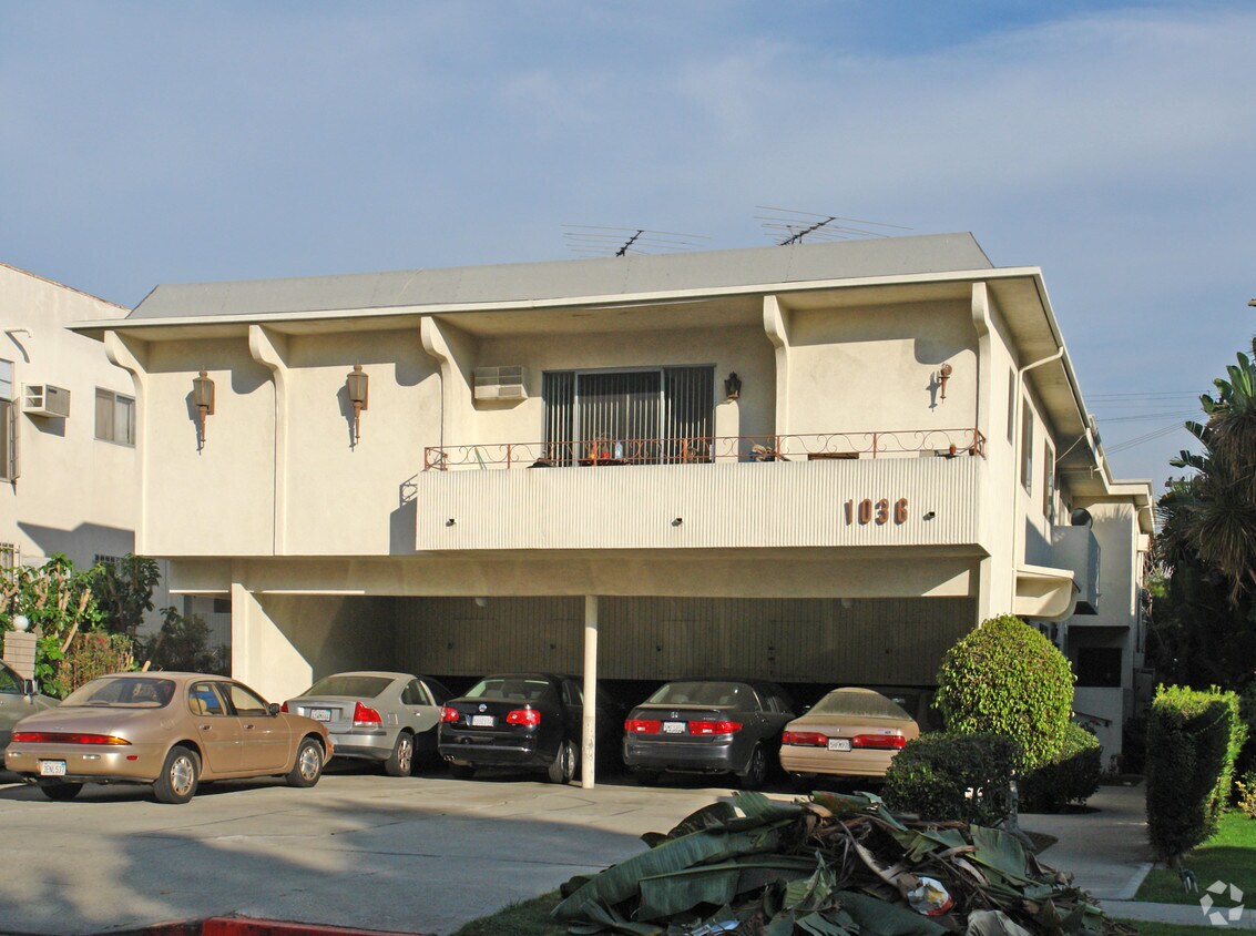
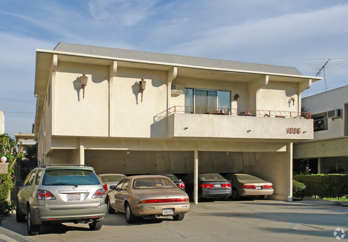

Find your new place at 1036 S Wooster St. This property is situated in the Pico Robertson area of Los Angeles. The leasing team is excited to help you find your perfect home. Give us a call now to check the current floor plan availability.
1036 S Wooster St is an apartment community located in Los Angeles County and the 90035 ZIP Code. This area is served by the Los Angeles Unified attendance zone.
Pico-Robertson is a popular Los Angeles neighborhood situated directly south of Beverly Hills and east of Century City. Despite its location in the heart of glittery West Los Angeles near the Miracle Mile, Beverlywood, Carthay, and Cheviot Hills, Pico-Robertson is much more low-key. You won't find trendy hotspots and wild nightlife in Pico-Robertson, but you will find a strong sense of community and a quiet setting.
Pico-Robertson offers a unique collection of delis, bakeries, and more. It is named for the intersection of Pico Boulevard and Robertson Boulevard, and that's where you'll find the majority of the neighborhood's shops, restaurants, and cafes.
Learn more about living in Pico-Robertson| Colleges & Universities | Distance | ||
|---|---|---|---|
| Colleges & Universities | Distance | ||
| Drive: | 12 min | 4.6 mi | |
| Drive: | 11 min | 5.1 mi | |
| Drive: | 11 min | 5.7 mi | |
| Drive: | 12 min | 6.1 mi |


Transportation options available in Los Angeles include Culver City, located 2.4 miles from 1036 S Wooster St. 1036 S Wooster St is near Los Angeles International, located 9.7 miles or 20 minutes away, and Bob Hope, located 14.0 miles or 26 minutes away.
| Transit / Subway | Distance | ||
|---|---|---|---|
| Transit / Subway | Distance | ||
|
|
Drive: | 6 min | 2.4 mi |
|
|
Drive: | 6 min | 2.7 mi |
|
|
Drive: | 6 min | 2.9 mi |
|
|
Drive: | 9 min | 3.5 mi |
|
|
Drive: | 8 min | 4.3 mi |
| Commuter Rail | Distance | ||
|---|---|---|---|
| Commuter Rail | Distance | ||
|
|
Drive: | 18 min | 9.3 mi |
|
|
Drive: | 20 min | 9.5 mi |
|
|
Drive: | 20 min | 11.7 mi |
|
|
Drive: | 23 min | 12.0 mi |
|
|
Drive: | 25 min | 12.9 mi |
| Airports | Distance | ||
|---|---|---|---|
| Airports | Distance | ||
|
Los Angeles International
|
Drive: | 20 min | 9.7 mi |
|
Bob Hope
|
Drive: | 26 min | 14.0 mi |
Time and distance from 1036 S Wooster St.
| Shopping Centers | Distance | ||
|---|---|---|---|
| Shopping Centers | Distance | ||
| Walk: | 3 min | 0.2 mi | |
| Walk: | 5 min | 0.3 mi | |
| Walk: | 7 min | 0.4 mi |
| Parks and Recreation | Distance | ||
|---|---|---|---|
| Parks and Recreation | Distance | ||
|
Zimmer Children's Museum
|
Drive: | 3 min | 1.4 mi |
|
La Brea Tar Pits
|
Drive: | 4 min | 1.9 mi |
|
Virginia Robinson Gardens
|
Drive: | 8 min | 3.4 mi |
|
Mathias Botanical Garden
|
Drive: | 10 min | 4.6 mi |
|
Kenneth Hahn State Recreation Area
|
Drive: | 13 min | 4.8 mi |
| Hospitals | Distance | ||
|---|---|---|---|
| Hospitals | Distance | ||
| Drive: | 2 min | 1.3 mi | |
| Drive: | 2 min | 1.4 mi | |
| Drive: | 3 min | 1.5 mi |
| Military Bases | Distance | ||
|---|---|---|---|
| Military Bases | Distance | ||
| Drive: | 20 min | 11.4 mi |
What Are Walk Score®, Transit Score®, and Bike Score® Ratings?
Walk Score® measures the walkability of any address. Transit Score® measures access to public transit. Bike Score® measures the bikeability of any address.
What is a Sound Score Rating?
A Sound Score Rating aggregates noise caused by vehicle traffic, airplane traffic and local sources


 - Violet on Virgil")

 - AVA Burbank")
