
Archer Hollywood
1718 N Las Palmas Ave,
Los Angeles, CA 90028
$1,940 - $3,650
Studio - 2 Beds


Located in the heart of West Hollywood, walking distance to some of LA's best night life and restaurants including: Melrose place, The Grove, Fairfax Farmers Market, the historical Chateau Marmont, Alfreds, Urth Cafe, Catch, Whole Foods Market, Connie and Ted's, Salt's Cure, Laurel Hardware, and The Hudson. *Listing photos may be of similar units*
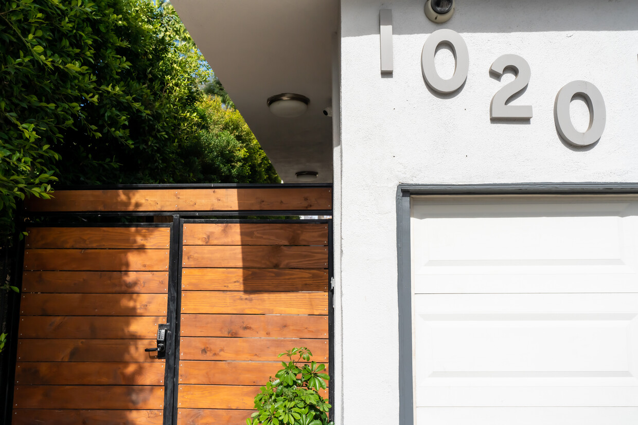
1020 N Laurel Ave is an apartment community located in Los Angeles County and the 90046 ZIP Code. This area is served by the Los Angeles Unified Rocp School District attendance zone.
Washer/Dryer
Air Conditioning
Dishwasher
Microwave
Welcome to West Hollywood, an artistic community nestled between Beverly Hills and Hollywood. This walkable 1.9-square-mile city offers a mix of luxury high-rises and historic apartment buildings, with current rental rates averaging $2,470 for one-bedroom units. The Sunset Strip serves as the entertainment hub, while Robertson Boulevard and Melrose Avenue feature interior design showrooms and fashion boutiques. West Hollywood Park provides a peaceful retreat with its recent renovations, including new recreational facilities and green spaces. The neighborhoods around Fountain and Harper Avenues showcase beautiful Spanish Revival and Art Deco architecture.
West Hollywood's rental market includes modern apartments and restored historic buildings, many featuring pools, fitness centers, and outdoor spaces. Current trends show rental rates have shifted slightly, with a 0.3% decrease for one-bedroom units and a 1.3% decrease for three-bedroom homes over the past year.
Learn more about living in West Hollywood| Colleges & Universities | Distance | ||
|---|---|---|---|
| Colleges & Universities | Distance | ||
| Drive: | 4 min | 2.5 mi | |
| Drive: | 5 min | 2.8 mi | |
| Drive: | 9 min | 4.6 mi | |
| Drive: | 12 min | 6.6 mi |


Transportation options available in West Hollywood include Hollywood/Highland Station, located 2.4 miles from 1020 N Laurel Ave. 1020 N Laurel Ave is near Bob Hope, located 10.8 miles or 20 minutes away, and Los Angeles International, located 11.8 miles or 24 minutes away.
| Transit / Subway | Distance | ||
|---|---|---|---|
| Transit / Subway | Distance | ||
|
|
Drive: | 4 min | 2.4 mi |
|
|
Drive: | 6 min | 3.1 mi |
|
|
Drive: | 8 min | 4.1 mi |
|
|
Drive: | 10 min | 5.3 mi |
|
|
Drive: | 10 min | 5.7 mi |
| Commuter Rail | Distance | ||
|---|---|---|---|
| Commuter Rail | Distance | ||
|
|
Drive: | 15 min | 8.3 mi |
|
|
Drive: | 17 min | 8.7 mi |
|
|
Drive: | 15 min | 9.1 mi |
|
|
Drive: | 17 min | 9.3 mi |
|
|
Drive: | 18 min | 9.7 mi |
| Airports | Distance | ||
|---|---|---|---|
| Airports | Distance | ||
|
Bob Hope
|
Drive: | 20 min | 10.8 mi |
|
Los Angeles International
|
Drive: | 24 min | 11.8 mi |
Scores provided by
Traffic
-Airport
-Businesses
-Scores provided by
HowLoud What is a Sound Score Rating? A Sound Score Rating aggregates noise caused by vehicle traffic, airplane traffic and local sources. How It WorksTime and distance from 1020 N Laurel Ave.
| Shopping Centers | Distance | ||
|---|---|---|---|
| Shopping Centers | Distance | ||
| Walk: | 2 min | 0.1 mi | |
| Walk: | 4 min | 0.2 mi | |
| Walk: | 8 min | 0.4 mi |
| Parks and Recreation | Distance | ||
|---|---|---|---|
| Parks and Recreation | Distance | ||
|
Runyon Canyon
|
Drive: | 5 min | 2.0 mi |
|
Zimmer Children's Museum
|
Drive: | 5 min | 2.2 mi |
|
La Brea Tar Pits
|
Drive: | 6 min | 2.4 mi |
|
Virginia Robinson Gardens
|
Drive: | 9 min | 3.6 mi |
|
Franklin Canyon Park
|
Drive: | 17 min | 5.5 mi |
| Hospitals | Distance | ||
|---|---|---|---|
| Hospitals | Distance | ||
| Drive: | 4 min | 1.8 mi | |
| Drive: | 6 min | 2.5 mi | |
| Drive: | 6 min | 2.6 mi |
| Military Bases | Distance | ||
|---|---|---|---|
| Military Bases | Distance | ||
| Drive: | 24 min | 13.4 mi | |
| Drive: | 45 min | 31.3 mi | |
| Drive: | 48 min | 33.5 mi |
Pets Allowed Fitness Center Pool Maintenance on site High-Speed Internet Controlled Access EV Charging
What Are Walk Score®, Transit Score®, and Bike Score® Ratings?
Walk Score® measures the walkability of any address. Transit Score® measures access to public transit. Bike Score® measures the bikeability of any address.
What is a Sound Score Rating?
A Sound Score Rating aggregates noise caused by vehicle traffic, airplane traffic and local sources.
1020 N Laurel Ave
West Hollywood, CA 90046


