$5,000 / Month

10154 Regent St

,

Los Angeles, CA 90034

Share Listing
Favorites
  • Bedrooms

    3

  • Bathrooms

    4

  • Square Feet

    --

10154 Regent St
Share Listing
Favorites

About This Home

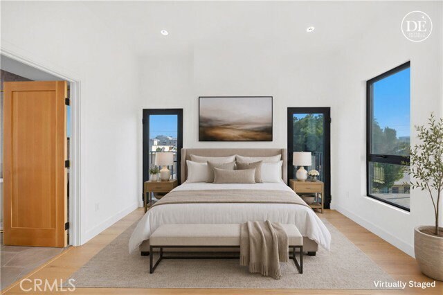
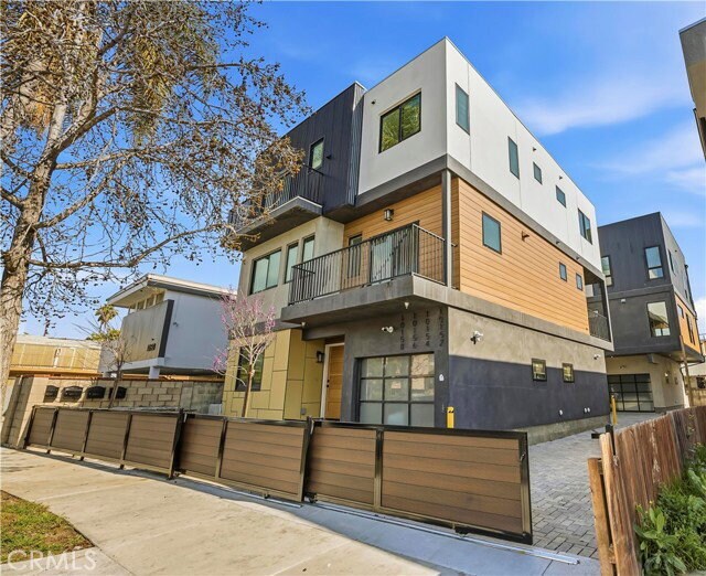
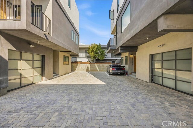
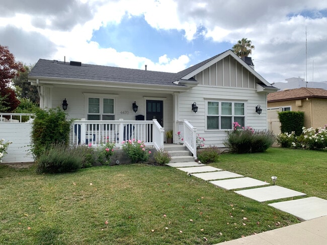
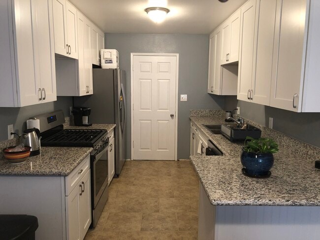
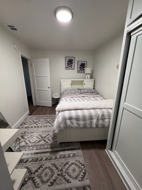
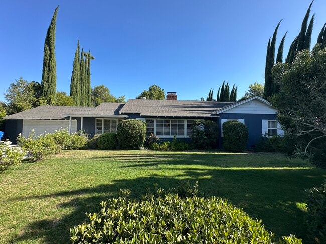
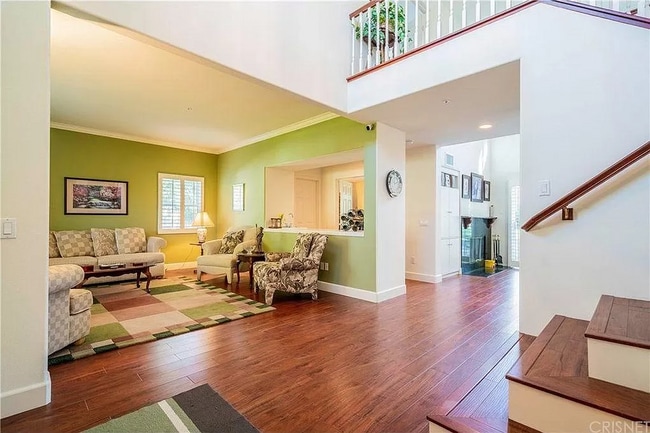
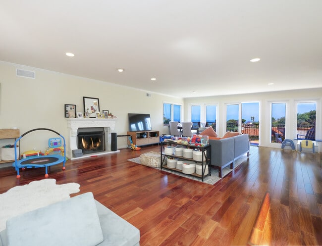
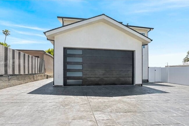
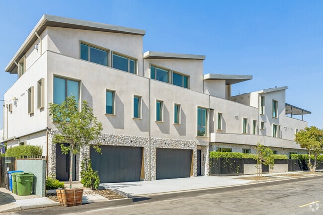
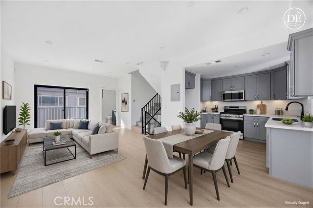
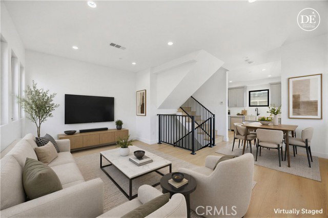
- A brand-new four-unit residential property located in West Los Angeles, built in 2026 Address: 10152-10158 Regent Street, Los Angeles, CA 90034 (Palms neighborhood). Completed in 2026, this newly constructed four-unit apartment complex consists of two buildings: #10152: 3 Bed / 3.5 Bath, 1,389 sq ft (Rent: $5,000/month); #10154: 3 Bed / 3.5 Bath, 1,359 sq ft (Rent: $5,000/month); #10156: 2 Bed / 2.5 Bath, 1,076 sq ft (Rent: $4,200/month); #10158: 3 Bed / 3.5 Bath, 1,767 sq ft (Rent: $5,800/month). All four units feature separate street addresses. All utilities (water, electricity, and gas) and the solar power systems are individually metered. Local Amenities & Transportation: Tech & Entertainment Sony Pictures Entertainment (5-minute drive), Apple TV+, Amazon Studios, HBO, TikTok; Higher Education UCLA (15 minutes), Loyola Marymount University (20 minutes); Beaches & Waterfronts Santa Monica, Venice Beach, Marina del Rey (12 15 minutes); Sports & Golf Rancho Park Golf Course (8 minutes), SoFi Stadium (25 minutes); Airports & Public Transit Los Angeles International Airport (LAX) is approximately a 20-minute drive away; immediate proximity to the I-10 and I-405 freeways; located just two blocks from the Palms Station on the Metro E Line, offering direct access to Downtown LA (DTLA) and Santa Monica; Shopping & Daily Essentials Westfield Century City and Westfield Culver City shopping centers, as well as a variety of restaurants, cafes, and supermarkets. Please note that some photos feature virtual staging or virtual renovations intended to illustrate the property's potential; original photos are available upon request. Listing provided by: Su, Hao of JC Pacific Corp. LA State License 02210656 Listing posted by Angelo Losan [SYNDID 4175858 09082026]

10154 Regent St is a house located in Los Angeles County and the 90034 ZIP Code.

* Price shown is base rent. Excludes user-selected optional fees and variable or usage-based fees and required charges due at or prior to move-in or at move-out. Price, availability, fees, and any applicable rent special are subject to change without notice.
* Square footage definitions vary. Displayed square footage is approximate.
Contact

  • Listed by Angelo Losan
| Edit

Under 30 minutes

Commute Time is calculated at rush hour.
Neighborhood

A small community in the Westside region of Los Angeles, Palms sits just a skip away from the glistening pristine beaches of Venice and Santa Monica, offering a diverse spread of both commercial and residential zones. The neighborhood houses a densely populated and diversified community, with nearly half of the population holding a four-year degree in higher education. Palms lies just 11 miles west of the center of Los Angeles.

Learn more about living in Palms 
Education
Colleges & Universities Distance
Drive: 7 min 2.3 mi
Drive: 8 min 3.2 mi
Drive: 9 min 3.6 mi
Drive: 10 min 4.6 mi
10154 Regent St is within 7 minutes or 2.3 miles from West Los Angeles College. It is also near Santa Monica Coll., Bundy and Santa Monica Coll., Airport.
Transportation

Transportation options available in Los Angeles include Palms, located 0.5 mile from 10154 Regent St. 10154 Regent St is near Los Angeles International, located 7.7 miles or 15 minutes away, and Bob Hope, located 21.3 miles or 32 minutes away.

Transit / Subway Distance
Walk: 9 min 0.5 mi
Drive: 3 min 1.3 mi
Drive: 5 min 2.0 mi
Drive: 5 min 2.1 mi
Drive: 6 min 2.6 mi
Commuter Rail Distance
Drive: 18 min 11.7 mi
Drive: 18 min 12.0 mi
Drive: 24 min 15.1 mi
Drive: 24 min 15.2 mi
Drive: 29 min 18.8 mi
Airports Distance
Airports Distance
Los Angeles International
Drive: 15 min 7.7 mi
Bob Hope
Drive: 32 min 21.3 mi
Getting Around
Moderately Walkable
Walkability
70 / 100
Good Public Transit
Transit
70 / 100
Very Drivable
Drivability
80 / 100
Moderately Bikeable
Bikeability
60 / 100

Scores provided by

What do Walkability, Transit, Drivability, and Bikeability mean? Walkability measures the walking distance to day-to-day needs. Transit measures access to public transportation. Drivability measures congestion, parking availability, and access to major roads. Bikeability measures the suitability for cycling. How It Works
Active
Soundscore
75 / 100

Traffic

Busy

Airport

Active

Businesses

Busy

Scores provided by

HowLoud What is a Sound Score Rating? A Sound Score Rating aggregates noise caused by vehicle traffic, airplane traffic and local sources. How It Works
Points of Interest

Time and distance from 10154 Regent St.

Shopping Centers Distance
Walk: 4 min 0.2 mi
Walk: 5 min 0.3 mi
Walk: 7 min 0.4 mi
10154 Regent St has 3 shopping centers within 0.4 mile, which is about a 7-minute walk. The miles and minutes will be for the farthest away property.
Parks and Recreation Distance
Ballona Creek Trail - Ballona Wetlands Ecological Reserve Access
Drive: 7 min 3.3 mi
Kenneth Hahn State Recreation Area
Drive: 11 min 4.0 mi
La Brea Tar Pits
Drive: 10 min 4.5 mi
Zimmer Children's Museum
Drive: 10 min 4.6 mi
Mathias Botanical Garden
Drive: 11 min 5.3 mi
10154 Regent St has 5 parks within 5.3 miles, including Ballona Creek Trail - Ballona Wetlands Ecological Reserve Access, Kenneth Hahn State Recreation Area, and Zimmer Children's Museum.
Hospitals Distance
Hospitals Distance
Drive: 5 min 2.1 mi
Drive: 8 min 3.8 mi
Drive: 9 min 4.0 mi
10154 Regent St has 3 hospitals within 4.0 miles, the nearest is Kaiser Foundation Hospital - West LA which is 2.1 miles away and a 5 minute drive.
Military Bases Distance
Drive: 15 min 10.2 mi
Drive: 38 min 27.0 mi
Drive: 41 min 29.2 mi
10154 Regent St has 3 military bases within 29.2 miles, the nearest is Los Angeles Air Force Base which is 10.2 miles away and a 15 minute drive.

You May Also Like

Similar Rentals Nearby