
The Vitagraph
1277 E 14th St,
Brooklyn, NY 11230
$2,770 - $3,668
1-3 Beds
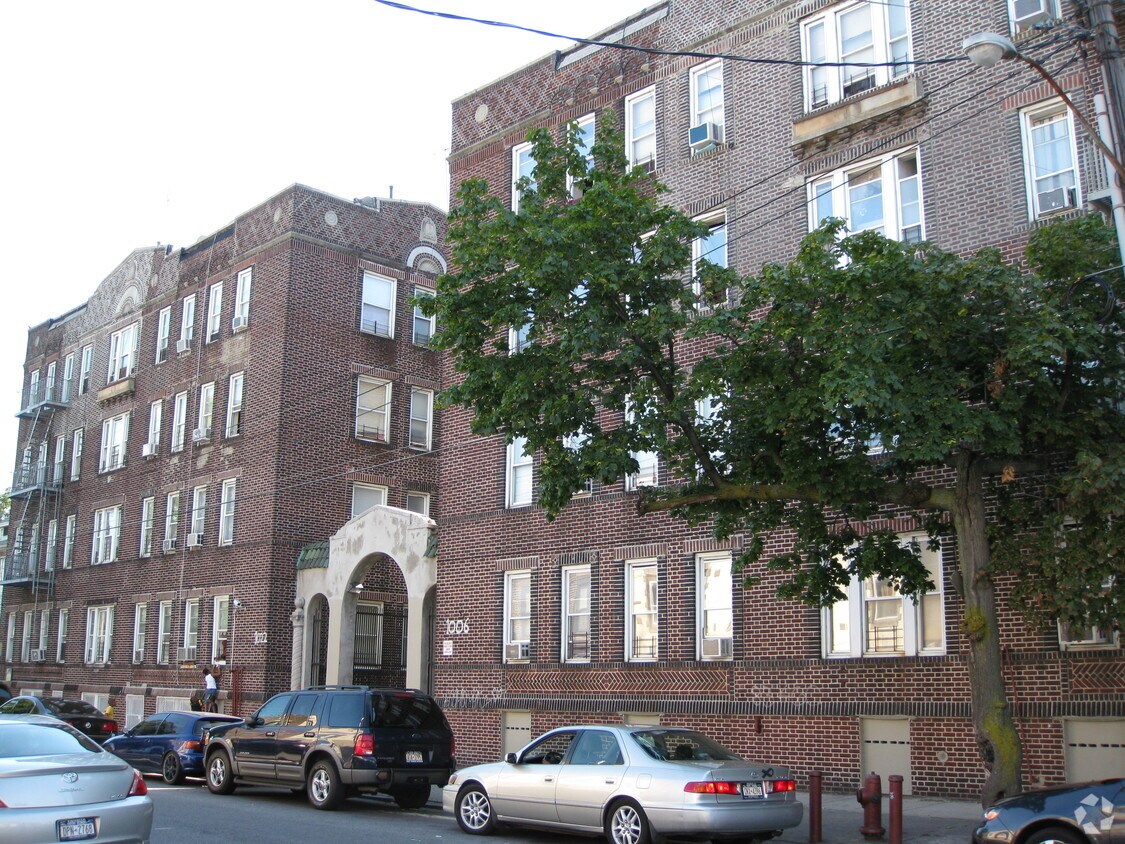
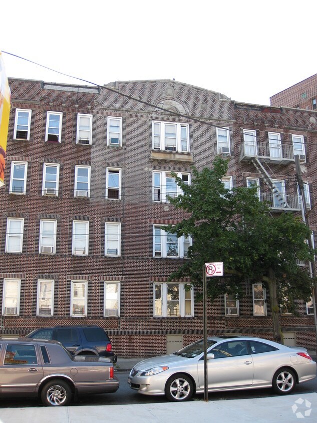
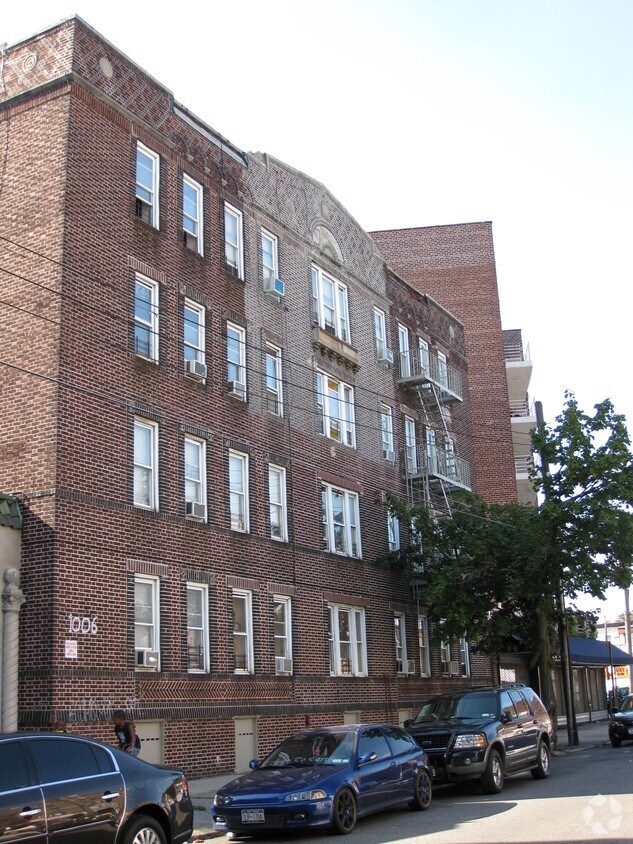
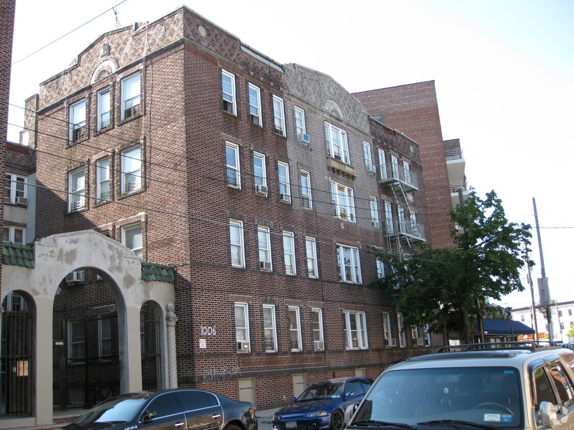

Discover your new home at 1006-1022 E 36th St in Brooklyn, NY. The premium E. 36th St. setting in the 11210 area of Brooklyn is a popular place to move to. The leasing staff will assist you in finding your new home. Make a visit to see the available floorplan options. Drop by the leasing office to check the current floorplan availability.
1006-1022 E 36th St is an apartment community located in Kings County and the 11210 ZIP Code. This area is served by the New York City Geographic District #22 attendance zone.
Refrigerator
Tub/Shower
Heating
Oven
The Flatlands is a small neighborhood withing the Brooklyn borough. This urban neighborhood is located just north of Jamaica Bay and several green spaces and beaches, so locals have easy access to plenty of outdoor recreation. You’ll find residents flocking to Marine Park, Brooklyn’s largest park, or the iconic Coney Island Beach and Boardwalk, which is about five miles away. Along with being near several great schools, the Flatlands is adjacent to Brooklyn College. There aren’t any subway stations in the Flatlands, but there are several nearby like Flatbush Avenue Station. Similar to many New York City neighborhoods, rent is on the expensive side, but there are rental options available in every style including charming rowhouses and modern condos.
Learn more about living in FlatlandsCompare neighborhood and city base rent averages by bedroom.
| Flatlands | Brooklyn, NY | |
|---|---|---|
| Studio | $1,539 | $2,674 |
| 1 Bedroom | $1,658 | $2,996 |
| 2 Bedrooms | $2,116 | $3,925 |
| 3 Bedrooms | $2,582 | $4,864 |
| Colleges & Universities | Distance | ||
|---|---|---|---|
| Colleges & Universities | Distance | ||
| Drive: | 3 min | 1.1 mi | |
| Drive: | 11 min | 3.3 mi | |
| Drive: | 12 min | 5.2 mi | |
| Drive: | 16 min | 5.5 mi |


Transportation options available in Brooklyn include Brooklyn College-Flatbush Avenue, located 0.6 mile from 1006-1022 E 36th St. 1006-1022 E 36th St is near John F Kennedy International, located 11.7 miles or 20 minutes away, and LaGuardia, located 13.1 miles or 29 minutes away.
| Transit / Subway | Distance | ||
|---|---|---|---|
| Transit / Subway | Distance | ||
|
|
Walk: | 11 min | 0.6 mi |
|
|
Drive: | 5 min | 1.3 mi |
|
|
Drive: | 5 min | 1.6 mi |
|
|
Drive: | 5 min | 1.6 mi |
|
|
Drive: | 5 min | 2.1 mi |
| Commuter Rail | Distance | ||
|---|---|---|---|
| Commuter Rail | Distance | ||
|
|
Drive: | 9 min | 4.8 mi |
|
|
Drive: | 14 min | 5.0 mi |
|
|
Drive: | 14 min | 5.5 mi |
|
|
Drive: | 21 min | 10.3 mi |
|
|
Drive: | 23 min | 11.0 mi |
| Airports | Distance | ||
|---|---|---|---|
| Airports | Distance | ||
|
John F Kennedy International
|
Drive: | 20 min | 11.7 mi |
|
LaGuardia
|
Drive: | 29 min | 13.1 mi |
Scores provided by
Traffic
-Airport
-Businesses
-Scores provided by
HowLoud What is a Sound Score Rating? A Sound Score Rating aggregates noise caused by vehicle traffic, airplane traffic and local sources. How It WorksTime and distance from 1006-1022 E 36th St.
| Shopping Centers | Distance | ||
|---|---|---|---|
| Shopping Centers | Distance | ||
| Walk: | 9 min | 0.5 mi | |
| Drive: | 4 min | 1.4 mi | |
| Drive: | 4 min | 1.7 mi |
| Parks and Recreation | Distance | ||
|---|---|---|---|
| Parks and Recreation | Distance | ||
|
Marine Park
|
Drive: | 6 min | 2.8 mi |
|
Prospect Park Audubon Center at the Boathouse
|
Drive: | 10 min | 3.1 mi |
|
Prospect Park Zoo
|
Drive: | 10 min | 3.1 mi |
|
Wingate Park
|
Drive: | 10 min | 3.9 mi |
|
Canarsie Park
|
Drive: | 10 min | 4.0 mi |
| Hospitals | Distance | ||
|---|---|---|---|
| Hospitals | Distance | ||
| Walk: | 19 min | 1.0 mi | |
| Drive: | 8 min | 3.4 mi | |
| Drive: | 8 min | 3.4 mi |
| Military Bases | Distance | ||
|---|---|---|---|
| Military Bases | Distance | ||
| Drive: | 10 min | 4.4 mi | |
| Drive: | 18 min | 5.9 mi | |
| Drive: | 15 min | 6.4 mi |
What Are Walk Score®, Transit Score®, and Bike Score® Ratings?
Walk Score® measures the walkability of any address. Transit Score® measures access to public transit. Bike Score® measures the bikeability of any address.
What is a Sound Score Rating?
A Sound Score Rating aggregates noise caused by vehicle traffic, airplane traffic and local sources.


