
$1,600
/ Month
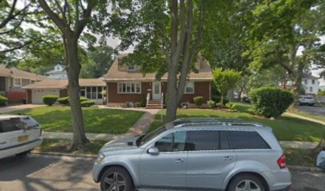
1 MacFarland Ave
Staten Island, NY 10305
2 Weeks Ago
|
Edit
Favorites
1 MacFarland Ave

Favorites
Check Back Soon for Upcoming Availability
| Beds | Baths | Average SF |
|---|---|---|
| 1 Bedroom 1 Bedroom 1 Br | 1 Bath 1 Bath 1 Ba | — |
About This Property
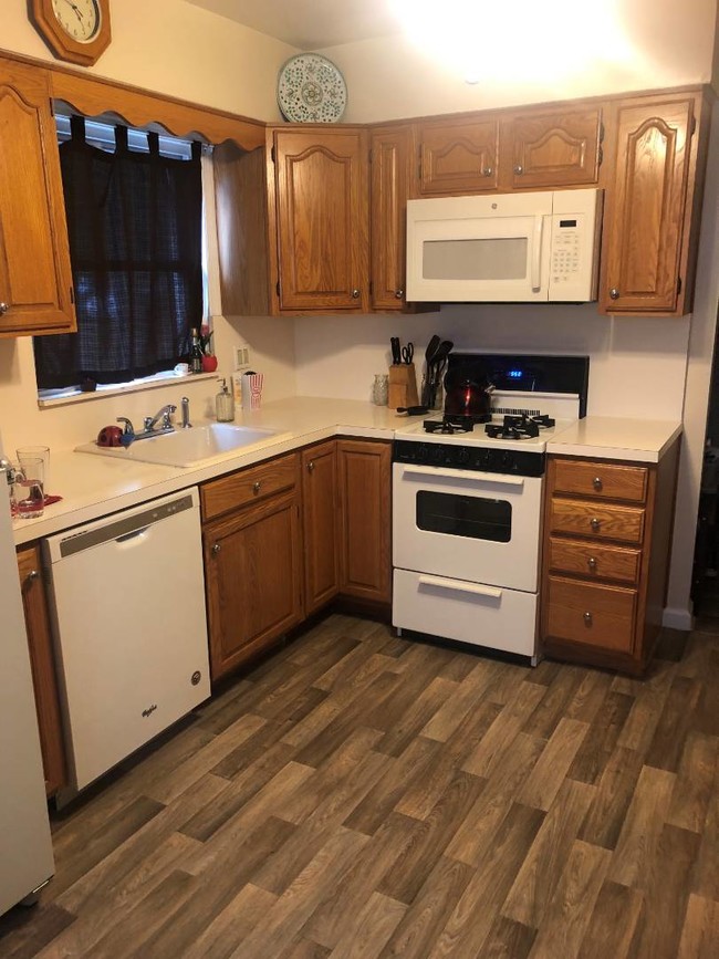
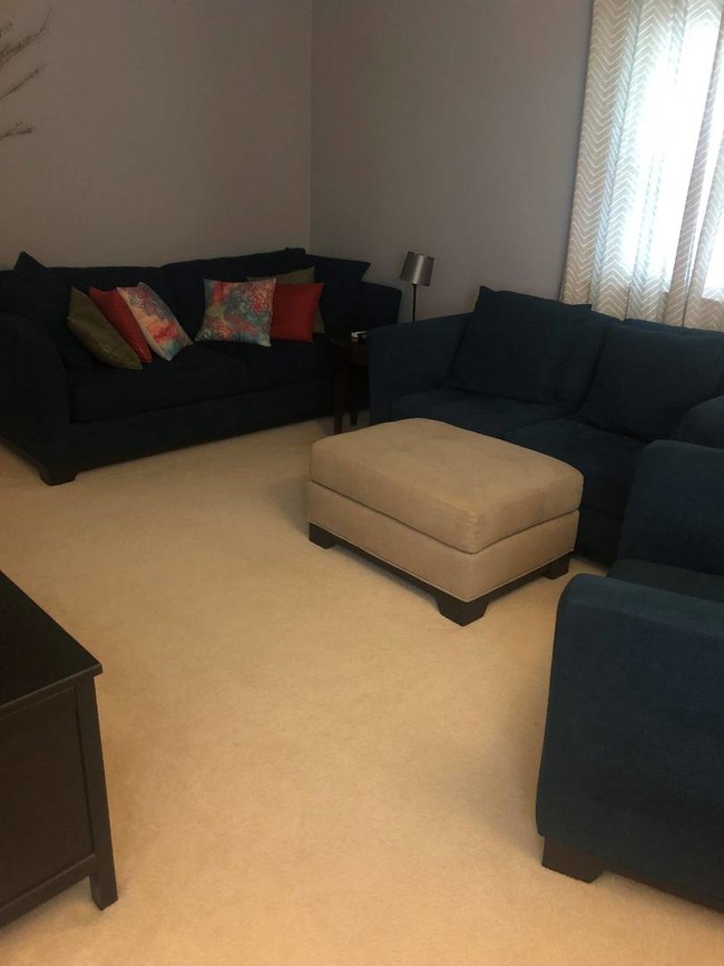
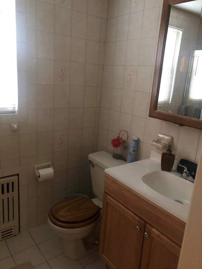
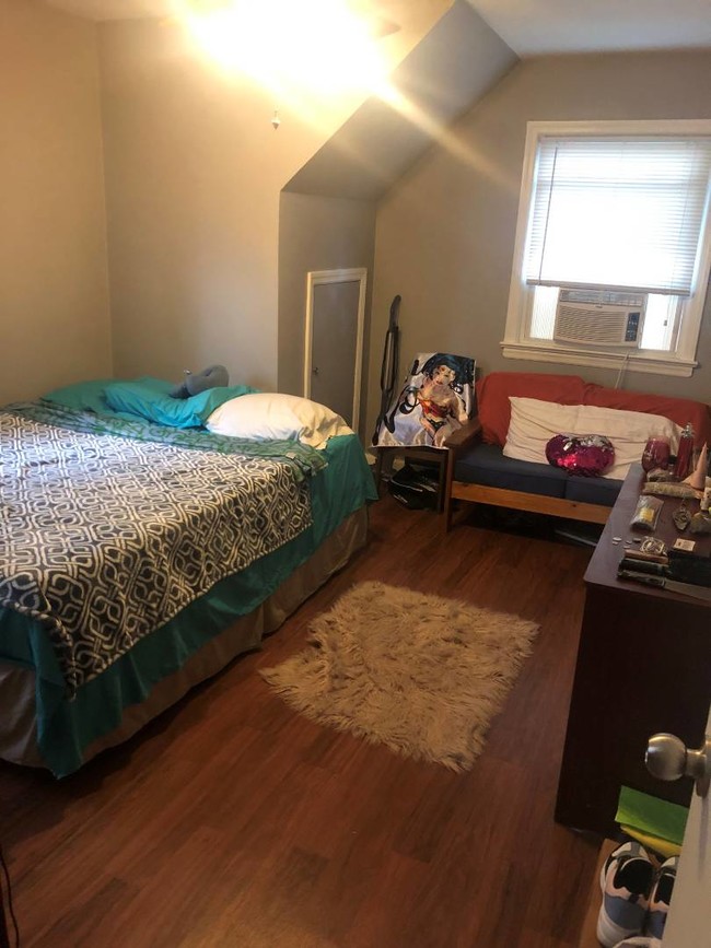
One bedroom apartment plus office located on the second floor. Includes dishwasher. Near shopping and transportation. No pets/no smoking. $1600 per month. Tenant responsible for one month rent, one month security and one month Real Estate fee. All tenants must be screened by National Tenant Network which requires a $20.00 fee.
1 Macfarland Ave is a house located in Richmond County and the 10305 ZIP Code. This area is served by the New York City Geographic District #31 attendance zone.
House Features
- Smoke Free
Location
Get Directions
Staten Island combines suburban comfort with convenient Manhattan access, making it ideal for renters who appreciate a slower pace while staying connected to city life. As the "Borough of Parks," Staten Island features over 12,300 acres of protected parkland and more than 170 parks, offering residents plenty of outdoor recreation opportunities. Housing options span from historic Victorian homes in St. George and Stapleton to contemporary apartment communities in Great Kills and New Dorp. Average rents range from $1,563 for studios to $2,335 for two-bedroom units, with moderate year-over-year increases between 1.8% to 3.2% for most unit types.
Each neighborhood brings its own character to the borough. The North Shore, especially St. George, serves as Staten Island's cultural center with landmarks like the beautifully restored St. George Theatre, Empire Outlets shopping complex, and the Staten Island Ferry terminal, offering free 24/7 service to Manhattan.
Learn more about living in Staten IslandBelow are rent ranges for similar nearby apartments
Amenities
- Smoke Free
Education
| Colleges & Universities | Distance | ||
|---|---|---|---|
| Colleges & Universities | Distance | ||
| Drive: | 8 min | 2.6 mi | |
| Drive: | 13 min | 5.9 mi | |
| Drive: | 19 min | 8.4 mi | |
| Drive: | 17 min | 9.5 mi |
1 MacFarland Ave is within 8 minutes or 2.6 miles from Wagner College. It is also near Coll. of Staten Island, CUNY and Brooklyn College.
Schools


Public Elementary School
Grades PK-5
190 Students
Nearby
Public Elementary School
Grades K-5
472 Students
Attendance Zone
Public Middle School
Grades 6-8
501 Students
Attendance Zone
Public High School
Grades 9-12
2,153 Students
Attendance Zone
Private Elementary & Middle School
Grades PK-8
455 Students
Nearby
Private High School
Grades 9-12
403 Students
Nearby
School data provided by
 The GreatSchools Rating helps parents compare schools within a state based on a variety of school quality indicators and provides a helpful picture of how effectively each school serves all of its students. Ratings are on a scale of 1 (below average) to 10 (above average) and can include test scores, college readiness, academic progress, advanced courses, equity, discipline and attendance data. We also advise parents to visit schools, consider other information on school performance and programs, and consider family needs as part of the school selection process.
View GreatSchools Rating Methodology
Data provided by GreatSchools.org © 2026. All rights reserved.
View GreatSchools Rating Methodology
Data provided by GreatSchools.org © 2026. All rights reserved.
Transportation options available in Staten Island include Bay Ridge-95 Street, located 3.3 miles from 1 MacFarland Ave. 1 MacFarland Ave is near Newark Liberty International, located 16.9 miles or 27 minutes away, and John F Kennedy International, located 22.4 miles or 33 minutes away.
| Transit / Subway | Distance | ||
|---|---|---|---|
| Transit / Subway | Distance | ||
|
|
Drive: | 6 min | 3.3 mi |
|
|
Drive: | 7 min | 3.6 mi |
|
|
Drive: | 8 min | 4.1 mi |
|
|
Drive: | 8 min | 4.5 mi |
|
|
Drive: | 9 min | 4.6 mi |
| Commuter Rail | Distance | ||
|---|---|---|---|
| Commuter Rail | Distance | ||
|
|
Walk: | 21 min | 1.1 mi |
|
|
Drive: | 3 min | 1.2 mi |
|
|
Drive: | 5 min | 2.1 mi |
|
|
Drive: | 6 min | 2.2 mi |
|
|
Drive: | 8 min | 2.9 mi |
| Airports | Distance | ||
|---|---|---|---|
| Airports | Distance | ||
|
Newark Liberty International
|
Drive: | 27 min | 16.9 mi |
|
John F Kennedy International
|
Drive: | 33 min | 22.4 mi |
Time and distance from 1 MacFarland Ave.
| Shopping Centers | Distance | ||
|---|---|---|---|
| Shopping Centers | Distance | ||
| Drive: | 5 min | 1.5 mi | |
| Drive: | 5 min | 2.1 mi | |
| Drive: | 9 min | 3.2 mi |
1 MacFarland Ave has 3 shopping centers within 3.2 miles, which is about a 9-minute drive. The miles and minutes will be for the farthest away property.
| Parks and Recreation | Distance | ||
|---|---|---|---|
| Parks and Recreation | Distance | ||
|
Gateway NRA - Staten Island Unit -Fort Wadsworth
|
Walk: | 16 min | 0.8 mi |
|
Ocean Breeze Park
|
Drive: | 4 min | 1.2 mi |
|
Alice Austen Park
|
Drive: | 5 min | 1.6 mi |
|
Franklin D. Roosevelt Boardwalk and Beach
|
Drive: | 5 min | 1.8 mi |
|
Silver Lake Park
|
Drive: | 9 min | 3.3 mi |
1 MacFarland Ave has 5 parks within 3.3 miles, including Gateway NRA - Staten Island Unit -Fort Wadsworth, Ocean Breeze Park, and Alice Austen Park.
| Hospitals | Distance | ||
|---|---|---|---|
| Hospitals | Distance | ||
| Drive: | 5 min | 1.8 mi | |
| Drive: | 6 min | 2.3 mi | |
| Drive: | 11 min | 4.3 mi |
1 MacFarland Ave has 3 hospitals within 4.3 miles, the nearest is South Beach Psychiatric Center which is 1.8 miles away and a 5 minute drive.
| Military Bases | Distance | ||
|---|---|---|---|
| Military Bases | Distance | ||
| Drive: | 8 min | 2.7 mi | |
| Drive: | 8 min | 3.7 mi |
1 MacFarland Ave is 2.7 miles from Naval Station NY Stapleton Site, and is convenient to other military bases, including Fort Hamilton.
You May Also Like
Similar Rentals Nearby


What Are Walk Score®, Transit Score®, and Bike Score® Ratings?
Walk Score® measures the walkability of any address. Transit Score® measures access to public transit. Bike Score® measures the bikeability of any address.
What is a Sound Score Rating?
A Sound Score Rating aggregates noise caused by vehicle traffic, airplane traffic and local sources

1 MacFarland Ave
Staten Island, NY 10305