
$1,950
/ Month
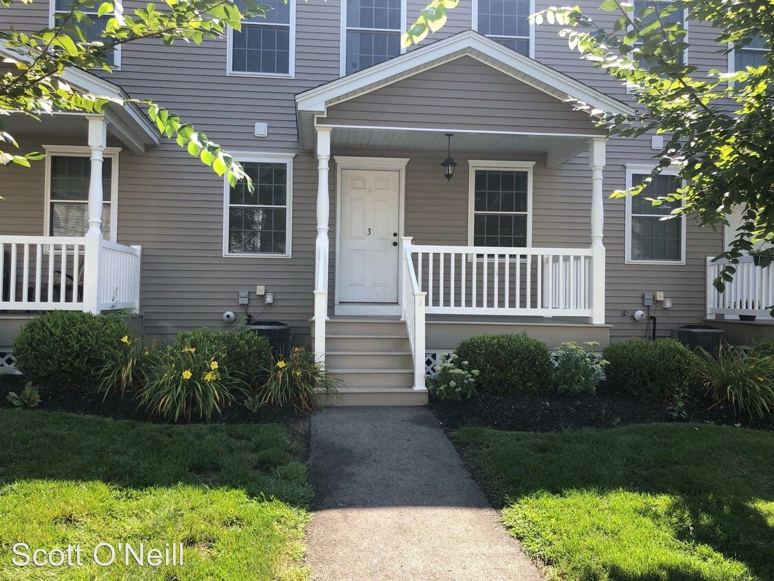
1-9 State Rte 9
North Berwick, ME 03906
2 Weeks Ago
|
Edit
Favorites
1-9 State Rte 9

Favorites
Check Back Soon for Upcoming Availability
| Beds | Baths | Average SF |
|---|---|---|
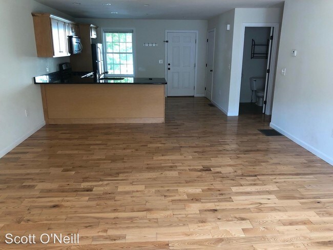
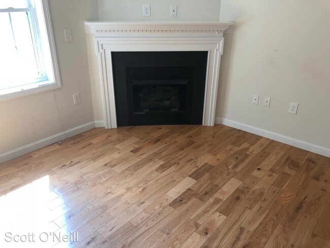
| 3 Bedrooms 3 Bedrooms 3 Br | 1.5 Baths 1.5 Baths 1.5 Ba | 1,600 SF |
Fees and Policies
The fees listed below are community-provided and may exclude utilities or add-ons. All payments are made directly to the property and are non-refundable unless otherwise specified.
- Dogs Allowed
-
Fees not specified
-
Weight limit--
-
Pet Limit--
About This Property
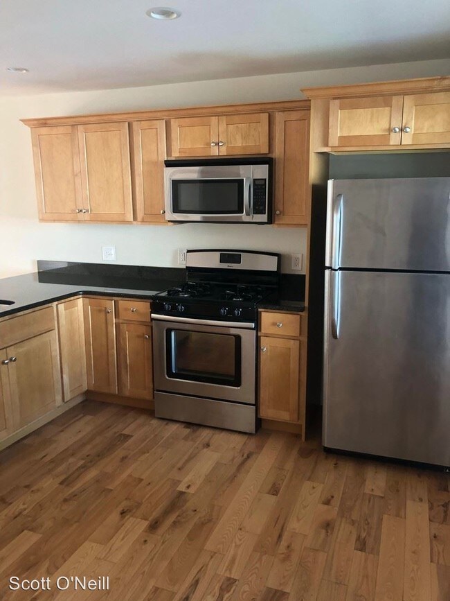
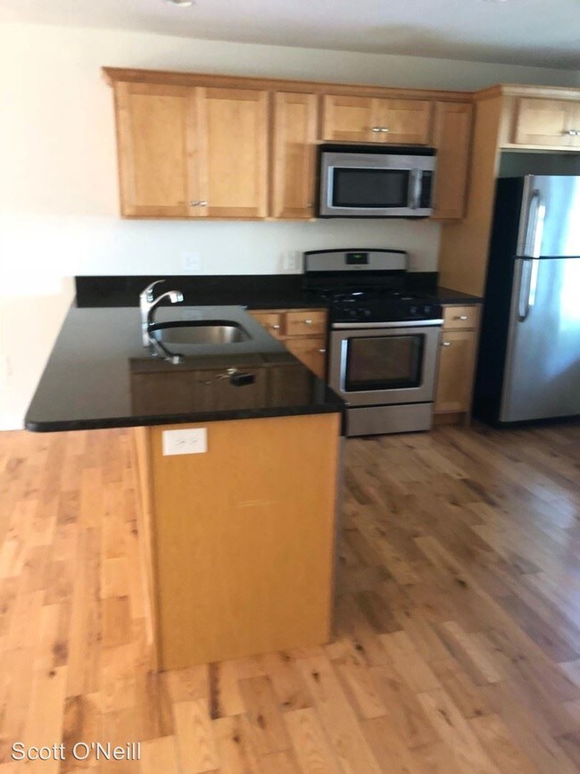
(603) 781-2576 - - (RLNE4709716) Other Amenities: Garage. Pet policies: Small Dogs Allowed, Cats Allowed, Large Dogs Allowed.
1-9 State Rte 9 is an apartment community located in York County and the 03906 ZIP Code.
Unique Features
- Garage
1-9 State Rte 9,
North Berwick,
ME
03906
Amenities
- Garage
Education
| Colleges & Universities | Distance | ||
|---|---|---|---|
| Colleges & Universities | Distance | ||
| Drive: | 36 min | 18.8 mi | |
| Drive: | 43 min | 28.4 mi | |
| Drive: | 60 min | 41.4 mi |
1-9 State Rte 9 is within 36 minutes or 18.8 miles from University of New Hampshire. It is also near University of New England and Univ. Southern Maine, Gorham.
Walkability Near 1-9 State Rte 9 North Berwick, ME 03906
Getting Around
 What do Walkability, Transit, Drivability, and Bikeability mean?
Walkability measures the walking distance to day-to-day needs.
Transit measures access to public transportation.
Drivability measures congestion, parking availability, and access to major roads.
Bikeability measures the suitability for cycling.
How It Works
What do Walkability, Transit, Drivability, and Bikeability mean?
Walkability measures the walking distance to day-to-day needs.
Transit measures access to public transportation.
Drivability measures congestion, parking availability, and access to major roads.
Bikeability measures the suitability for cycling.
How It Works
Not Walkable
Walkability
10
/ 100
Exceptionally Drivable
Drivability
100
/ 100
Not Bikeable
Bikeability
10
/ 100
Scores provided by
-
Soundscore™
-
/ 100
Traffic
-Airport
-Businesses
-Scores provided by
HowLoud What is a Sound Score Rating? A Sound Score Rating aggregates noise caused by vehicle traffic, airplane traffic and local sources. How It WorksYou May Also Like
Similar Rentals Nearby
-
-
-
-
-
-
1 / 24

-
-
-
-


What Are Walk Score®, Transit Score®, and Bike Score® Ratings?
Walk Score® measures the walkability of any address. Transit Score® measures access to public transit. Bike Score® measures the bikeability of any address.
What is a Sound Score Rating?
A Sound Score Rating aggregates noise caused by vehicle traffic, airplane traffic and local sources.
1-9 State Rte 9
North Berwick, ME 03906