
Avalon Hunt Valley and Hunt Valley West
100 Shawan Rd,
Cockeysville, MD 21030
$1,665 - $3,255
Studio - 3 Beds
Bedrooms
1 - 3 bd
Bathrooms
1 - 1.5 ba
Square Feet
717 - 1,137 sq ft
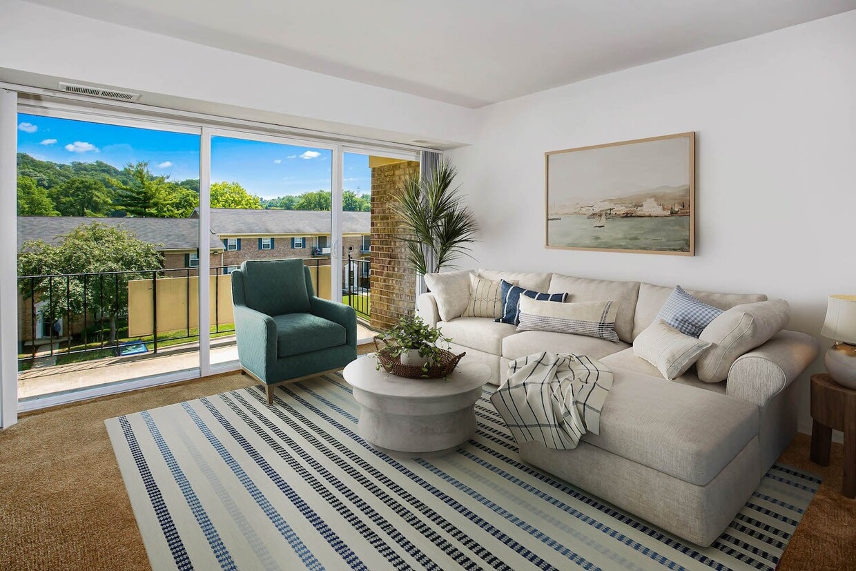
Deertree is conveniently located in the heart of Cockeysville. Just minutes from Hunt Valley and Towson, these garden style apartments and townhomes offers the comfort of the county and convenience of city living. With all that Deertree has to offer, theres no reason why this shouldn't be your next home.
Deertree is conveniently located in the heart of Cockeysville. Just minutes from Hunt Valley and Towson, these garden style apartments and townhomes offers the comfort of the county and convenience of city living. With all that Deertree has to offer, theres no reason why this shouldn't be your next home.
Deertree is an apartment community located in Baltimore County and the 21030 ZIP Code. This area is served by the Baltimore County Public Schools attendance zone.
Unique Features
Pool
Laundry Facilities
Furnished Units Available
Playground
Air Conditioning
Dishwasher
High Speed Internet Access
Walk-In Closets
Refrigerator
Tub/Shower
Disposal
Patio
Cockeysville is a census-designated place in Baltimore County where rolling valleys carved from ancient Cockeysville Marble meet a quiet, well-rooted suburban setting. Positioned along Interstate 83, just under 30 miles north of Downtown Baltimore, the community gives renters access to a major metro corridor without trading in a slower pace of daily life. The nearby Hunt Valley business district serves as a significant employment anchor, and the Maryland Transit Administration's Light Rail line connects residents southward toward the city with ease.
The surrounding landscape sets this area apart. Oregon Ridge Park spans more than 1,000 acres of trails and green space, and Gunpowder Falls State Park extends the outdoor footprint considerably. Loch Raven Reservoir borders the community to the east, adding to a sense of natural quietude that shapes the area's identity.
Learn more about living in Cockeysville| Colleges & Universities | Distance | ||
|---|---|---|---|
| Colleges & Universities | Distance | ||
| Drive: | 13 min | 5.6 mi | |
| Drive: | 13 min | 6.4 mi | |
| Drive: | 16 min | 8.0 mi | |
| Drive: | 20 min | 9.6 mi |


Transportation options available in Cockeysville include Warren Road, located 1.8 miles from Deertree. Deertree is near Baltimore/Washington International Thurgood Marshall, located 26.2 miles or 41 minutes away.
| Transit / Subway | Distance | ||
|---|---|---|---|
| Transit / Subway | Distance | ||
|
|
Drive: | 4 min | 1.8 mi |
|
|
Drive: | 5 min | 2.0 mi |
|
|
Drive: | 6 min | 2.5 mi |
|
|
Drive: | 5 min | 2.6 mi |
|
|
Drive: | 6 min | 2.8 mi |
| Commuter Rail | Distance | ||
|---|---|---|---|
| Commuter Rail | Distance | ||
|
|
Drive: | 24 min | 14.1 mi |
| Drive: | 29 min | 15.5 mi | |
| Drive: | 28 min | 16.0 mi | |
| Drive: | 31 min | 18.5 mi | |
| Drive: | 32 min | 21.6 mi |
| Airports | Distance | ||
|---|---|---|---|
| Airports | Distance | ||
|
Baltimore/Washington International Thurgood Marshall
|
Drive: | 41 min | 26.2 mi |
Scores provided by
Traffic
ActiveAirport
CalmBusinesses
ActiveScores provided by
HowLoud What is a Sound Score Rating? A Sound Score Rating aggregates noise caused by vehicle traffic, airplane traffic and local sources. How It WorksTime and distance from Deertree.
| Shopping Centers | Distance | ||
|---|---|---|---|
| Shopping Centers | Distance | ||
| Walk: | 6 min | 0.3 mi | |
| Walk: | 7 min | 0.4 mi | |
| Walk: | 9 min | 0.5 mi |
| Parks and Recreation | Distance | ||
|---|---|---|---|
| Parks and Recreation | Distance | ||
|
Loch Raven Fishing Center
|
Drive: | 13 min | 4.8 mi |
|
Oregon Ridge Nature Center
|
Drive: | 12 min | 5.0 mi |
|
Oregon Ridge Park
|
Drive: | 12 min | 5.1 mi |
|
Hampton National Historic Site
|
Drive: | 12 min | 5.3 mi |
|
Rodgers Farms
|
Drive: | 15 min | 8.1 mi |
| Hospitals | Distance | ||
|---|---|---|---|
| Hospitals | Distance | ||
| Drive: | 12 min | 6.2 mi | |
| Drive: | 13 min | 6.4 mi | |
| Drive: | 13 min | 6.8 mi |
| Military Bases | Distance | ||
|---|---|---|---|
| Military Bases | Distance | ||
| Drive: | 40 min | 21.1 mi | |
| Drive: | 54 min | 34.1 mi | |
| Drive: | 71 min | 39.2 mi |
What Are Walk Score®, Transit Score®, and Bike Score® Ratings?
Walk Score® measures the walkability of any address. Transit Score® measures access to public transit. Bike Score® measures the bikeability of any address.
What is a Sound Score Rating?
A Sound Score Rating aggregates noise caused by vehicle traffic, airplane traffic and local sources.

10000 Greenside Dr
Cockeysville, MD 21030


