
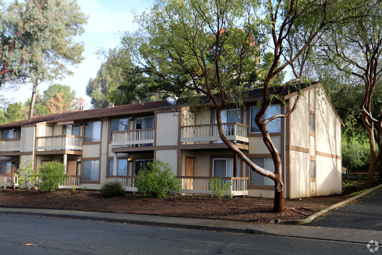
Seabridge at Glen Cove
1 Spyglass Pky,
Vallejo, CA 94591
$2,200 - $2,500
1-2 Beds

The apartment homes at Crestview Apartments feature an array of modern amenities and many extras for your convenience. Choose from a variety of living spaces designed to meet your every need. You'll be close to transportation, shopping, and great entertainment. Call today to make Crestview Apartments your new home!
Crestview Apartments is an apartment community located in Solano County and the 94510 ZIP Code. This area is served by the Benicia Unified School District attendance zone.
Pool
Laundry Facilities
Clubhouse
Recycling
Dishwasher
High Speed Internet Access
Walk-In Closets
Granite Countertops
Yard
Refrigerator
Tub/Shower
Disposal
Benicia sits on the north bank of the Carquinez Strait, quietly holding onto a history that most California cities can only read about — it served as the state capital for thirteen months between 1853 and 1854, and the original Capitol building still stands downtown. That sense of history gives the city a grounded, unhurried character that sets it apart from busier Bay Area neighbors. Situated in Solano County, Benicia connects easily to Vallejo to the west and Martinez across the strait, while Interstate 680 and 780 put Sacramento, Oakland, and San Francisco within reasonable driving distance.
Daily life here moves at a pace that encourages actually noticing your surroundings. The downtown area anchors the city with waterfront views, local shops, and a working arts district that grew out of the converted Benicia Arsenal — once the largest weapons storehouse on the West Coast.
Learn more about living in Benicia| Colleges & Universities | Distance | ||
|---|---|---|---|
| Colleges & Universities | Distance | ||
| Drive: | 19 min | 10.1 mi | |
| Drive: | 17 min | 10.7 mi | |
| Drive: | 23 min | 16.4 mi | |
| Drive: | 24 min | 17.2 mi |


Transportation options available in Benicia include North Concord / Martinez, located 11.8 miles from Crestview Apartments. Crestview Apartments is near Metro Oakland International, located 38.5 miles or 50 minutes away, and San Francisco International, located 46.2 miles or 63 minutes away.
| Transit / Subway | Distance | ||
|---|---|---|---|
| Transit / Subway | Distance | ||
|
|
Drive: | 17 min | 11.8 mi |
|
|
Drive: | 18 min | 12.3 mi |
| Commuter Rail | Distance | ||
|---|---|---|---|
| Commuter Rail | Distance | ||
|
|
Drive: | 10 min | 6.8 mi |
| Drive: | 27 min | 20.0 mi | |
|
|
Drive: | 27 min | 21.2 mi |
|
|
Drive: | 29 min | 23.7 mi |
| Drive: | 33 min | 25.9 mi |
| Airports | Distance | ||
|---|---|---|---|
| Airports | Distance | ||
|
Metro Oakland International
|
Drive: | 50 min | 38.5 mi |
|
San Francisco International
|
Drive: | 63 min | 46.2 mi |
Scores provided by
Traffic
BusyAirport
CalmBusinesses
CalmScores provided by
HowLoud What is a Sound Score Rating? A Sound Score Rating aggregates noise caused by vehicle traffic, airplane traffic and local sources. How It WorksTime and distance from Crestview Apartments.
| Shopping Centers | Distance | ||
|---|---|---|---|
| Shopping Centers | Distance | ||
| Walk: | 7 min | 0.4 mi | |
| Drive: | 3 min | 1.4 mi | |
| Drive: | 4 min | 1.6 mi |
| Parks and Recreation | Distance | ||
|---|---|---|---|
| Parks and Recreation | Distance | ||
|
Benicia Capitol State Historic Park
|
Drive: | 4 min | 1.8 mi |
|
Benicia State Recreation Area
|
Drive: | 8 min | 3.4 mi |
|
Alhambra Creek Watershed
|
Drive: | 10 min | 6.8 mi |
|
Crockett Hills Regional Park
|
Drive: | 12 min | 8.2 mi |
|
Carquinez Strait Regional Shoreline
|
Drive: | 17 min | 10.4 mi |
| Hospitals | Distance | ||
|---|---|---|---|
| Hospitals | Distance | ||
| Drive: | 11 min | 7.1 mi | |
| Drive: | 12 min | 7.4 mi | |
| Drive: | 12 min | 8.2 mi |
| Military Bases | Distance | ||
|---|---|---|---|
| Military Bases | Distance | ||
| Drive: | 7 min | 3.5 mi | |
| Drive: | 17 min | 9.5 mi |
What Are Walk Score®, Transit Score®, and Bike Score® Ratings?
Walk Score® measures the walkability of any address. Transit Score® measures access to public transit. Bike Score® measures the bikeability of any address.
What is a Sound Score Rating?
A Sound Score Rating aggregates noise caused by vehicle traffic, airplane traffic and local sources.
118 Warwick Dr
Benicia, CA 94510


