
Outlook DTC
5031 S Ulster St,
Denver, CO 80237
$1,595 - $2,995
Studio - 2 Beds
We will accommodate tours via Facebook messenger to respect social distancing."
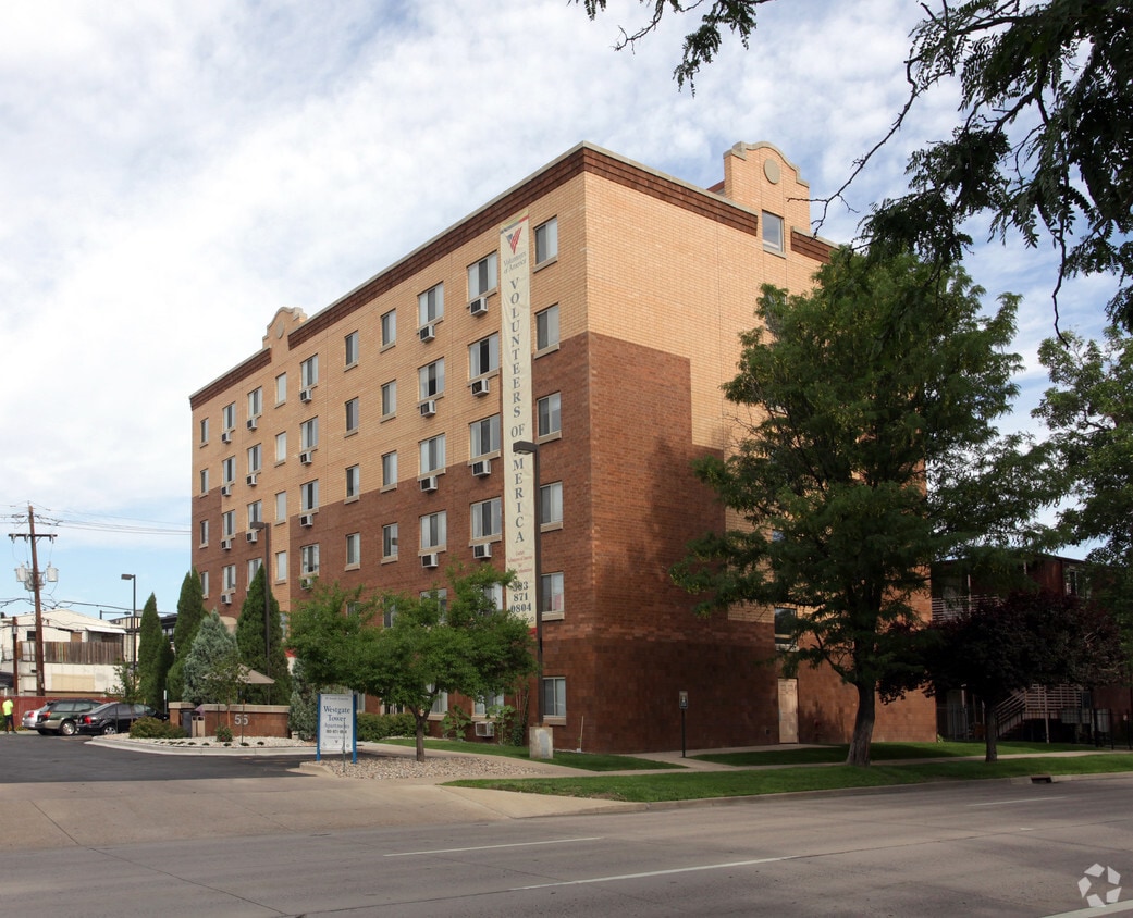
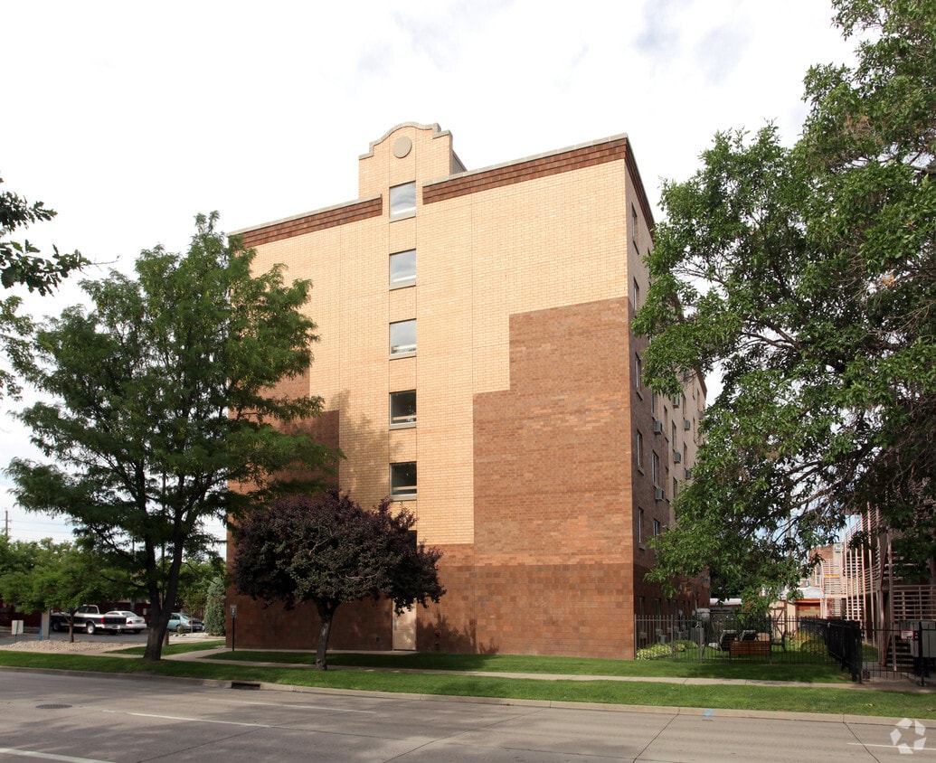
Westgate Tower Apartments is an apartment community located in Denver County and the 80209 ZIP Code. This area is served by the Denver County 1 attendance zone.
Named for its location along South Broadway, SoBo is a lively neighborhood filled with dining opportunities and a vibrant nightlife scene. Nestled between Washington Park, Baker, and Athmar Park, SoBo is only three miles south of Downtown Denver. Commuters appreciate the easy access its Denver’s central business district, and close proximity to an array of theaters, museums, restaurants, historic sites, and shopping malls.
SoBo runs along Interstate 25 and is home to both the Merchants Park Shopping Center and Broadway Marketplace. In the north end of town, check out trendy bars and restaurants like the Denver Biscuit Company, Illegal Pete’s, and Punch Bowl Social.
Learn more about living in SoBo| Colleges & Universities | Distance | ||
|---|---|---|---|
| Colleges & Universities | Distance | ||
| Drive: | 7 min | 2.7 mi | |
| Drive: | 7 min | 2.7 mi | |
| Drive: | 8 min | 2.9 mi | |
| Drive: | 7 min | 4.0 mi |


Transportation options available in Denver include Alameda, located 0.8 mile from Westgate Tower Apartments. Westgate Tower Apartments is near Denver International, located 28.8 miles or 39 minutes away.
| Transit / Subway | Distance | ||
|---|---|---|---|
| Transit / Subway | Distance | ||
|
|
Walk: | 16 min | 0.8 mi |
|
|
Drive: | 3 min | 1.3 mi |
|
|
Drive: | 4 min | 1.8 mi |
|
|
Drive: | 6 min | 2.1 mi |
|
|
Drive: | 6 min | 2.2 mi |
| Commuter Rail | Distance | ||
|---|---|---|---|
| Commuter Rail | Distance | ||
|
|
Drive: | 8 min | 3.0 mi |
|
|
Drive: | 8 min | 3.1 mi |
| Drive: | 11 min | 4.4 mi | |
| Drive: | 19 min | 5.2 mi | |
| Drive: | 12 min | 6.6 mi |
| Airports | Distance | ||
|---|---|---|---|
| Airports | Distance | ||
|
Denver International
|
Drive: | 39 min | 28.8 mi |
Time and distance from Westgate Tower Apartments.
| Shopping Centers | Distance | ||
|---|---|---|---|
| Shopping Centers | Distance | ||
| Walk: | 13 min | 0.7 mi | |
| Walk: | 13 min | 0.7 mi | |
| Walk: | 14 min | 0.8 mi |
| Parks and Recreation | Distance | ||
|---|---|---|---|
| Parks and Recreation | Distance | ||
|
History Colorado Center
|
Drive: | 4 min | 1.6 mi |
|
Civic Center Park
|
Drive: | 6 min | 2.1 mi |
|
Washington Park
|
Drive: | 6 min | 2.2 mi |
|
Denver Botanic Gardens at York St.
|
Drive: | 9 min | 2.9 mi |
|
Lower Downtown Historic District (LoDo)
|
Drive: | 7 min | 3.0 mi |
| Hospitals | Distance | ||
|---|---|---|---|
| Hospitals | Distance | ||
| Walk: | 19 min | 1.0 mi | |
| Drive: | 7 min | 2.9 mi | |
| Drive: | 8 min | 3.2 mi |
| Military Bases | Distance | ||
|---|---|---|---|
| Military Bases | Distance | ||
| Drive: | 46 min | 21.7 mi | |
| Drive: | 76 min | 62.5 mi | |
| Drive: | 85 min | 72.2 mi |
What Are Walk Score®, Transit Score®, and Bike Score® Ratings?
Walk Score® measures the walkability of any address. Transit Score® measures access to public transit. Bike Score® measures the bikeability of any address.
What is a Sound Score Rating?
A Sound Score Rating aggregates noise caused by vehicle traffic, airplane traffic and local sources

55 S Lincoln St
Denver, CO 80209


