
Barrington Place Apartments
28600 Detroit Rd,
Westlake, OH 44145
$1,491 - $1,856
1-2 Beds
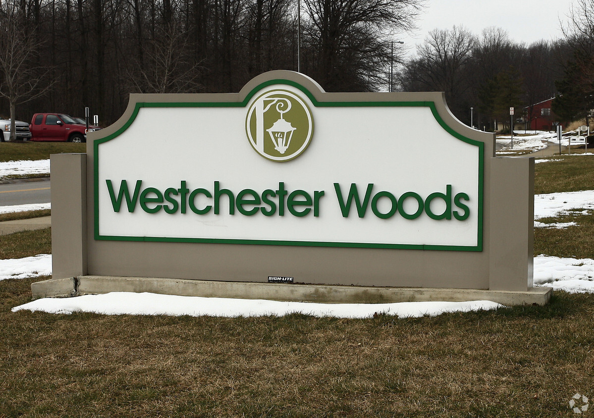

Westchester Woods is ready to be your home. Come by to check out the current floorplan options. The leasing staff is ready for you to come for a visit. A collection of amenities is waiting for you at this community. Some of these include: smoke free options, high-speed internet access, and a community picnic area. Contact us or stop by today.
Westchester Woods is an apartment community located in Cuyahoga County and the 44145 ZIP Code. This area is served by the Westlake City School District attendance zone.
Washer/Dryer
Air Conditioning
High Speed Internet Access
Walk-In Closets
Westlake sits about 15 miles west of downtown Cleveland, occupying a quiet stretch of Cuyahoga County where a suburban pace meets real economic substance. The city incorporated under its current name in 1940, grew steadily after World War II, and became a full city by 1957. Today, it covers roughly 16 square miles and is home to around 32,000 residents, with a strong concentration of corporate offices and healthcare employers that give the local economy a sturdy foundation.
The atmosphere here leans residential and well-kept, with established neighborhoods ranging from modest ranch-style streets to more upscale enclaves near Crocker Park, a walkable open-air district anchoring the city's commercial core. Renters will find a solid mix of options, from garden-style apartment communities and townhome rentals to newer apartment communities offering updated amenities. The housing stock reflects the city's steady growth without the density of an urban center.
Learn more about living in Westlake| Colleges & Universities | Distance | ||
|---|---|---|---|
| Colleges & Universities | Distance | ||
| Drive: | 6 min | 2.6 mi | |
| Drive: | 9 min | 3.6 mi | |
| Drive: | 20 min | 11.0 mi | |
| Drive: | 26 min | 13.1 mi |


Transportation options available in Westlake include Triskett Station, located 9.2 miles from Westchester Woods. Westchester Woods is near Cleveland-Hopkins International, located 9.0 miles or 20 minutes away.
| Transit / Subway | Distance | ||
|---|---|---|---|
| Transit / Subway | Distance | ||
| Drive: | 17 min | 9.2 mi | |
| Drive: | 18 min | 9.2 mi | |
| Drive: | 18 min | 9.7 mi | |
| Drive: | 20 min | 10.2 mi | |
| Drive: | 21 min | 10.4 mi |
| Commuter Rail | Distance | ||
|---|---|---|---|
| Commuter Rail | Distance | ||
|
|
Drive: | 24 min | 14.1 mi |
|
|
Drive: | 30 min | 16.5 mi |
| Drive: | 35 min | 22.3 mi | |
| Drive: | 37 min | 24.1 mi | |
| Drive: | 45 min | 30.0 mi |
| Airports | Distance | ||
|---|---|---|---|
| Airports | Distance | ||
|
Cleveland-Hopkins International
|
Drive: | 20 min | 9.0 mi |
Scores provided by
Traffic
-Airport
-Businesses
-Scores provided by
HowLoud What is a Sound Score Rating? A Sound Score Rating aggregates noise caused by vehicle traffic, airplane traffic and local sources. How It WorksTime and distance from Westchester Woods.
| Shopping Centers | Distance | ||
|---|---|---|---|
| Shopping Centers | Distance | ||
| Walk: | 12 min | 0.6 mi | |
| Walk: | 19 min | 1.0 mi | |
| Drive: | 3 min | 1.3 mi |
| Parks and Recreation | Distance | ||
|---|---|---|---|
| Parks and Recreation | Distance | ||
|
Huntington Reservation
|
Drive: | 5 min | 1.7 mi |
|
Lake Erie Nature and Science Center
|
Drive: | 5 min | 1.8 mi |
|
Bradley Woods Reservation
|
Drive: | 13 min | 5.8 mi |
|
Kopf Family Reservation
|
Drive: | 15 min | 6.1 mi |
|
Rocky River Nature Center
|
Drive: | 17 min | 7.5 mi |
| Hospitals | Distance | ||
|---|---|---|---|
| Hospitals | Distance | ||
| Drive: | 9 min | 4.0 mi | |
| Drive: | 15 min | 8.8 mi | |
| Drive: | 25 min | 14.3 mi |
| Military Bases | Distance | ||
|---|---|---|---|
| Military Bases | Distance | ||
| Drive: | 85 min | 69.7 mi | |
| Drive: | 102 min | 81.7 mi |
What Are Walk Score®, Transit Score®, and Bike Score® Ratings?
Walk Score® measures the walkability of any address. Transit Score® measures access to public transit. Bike Score® measures the bikeability of any address.
What is a Sound Score Rating?
A Sound Score Rating aggregates noise caused by vehicle traffic, airplane traffic and local sources.

27635 Caroline Cir
Westlake, OH 44145


