
Williamsburg
200 W Galbraith Rd,
Cincinnati, OH 45215
$850 - $2,659
Studio - 3 Beds

Bedrooms
1 bd
Bathrooms
1 ba
Square Feet
750 sq ft

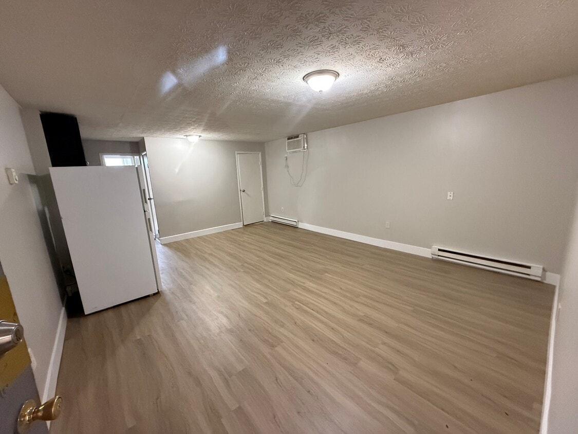
Convenient location next to gas station and grocery store. Owner pays for gas, water, sewer, and trash. Tenant pays for electric only.
Convenient location next to gas station and grocery store. Owner pays for gas, water, sewer, and trash. Tenant pays for electric only.
West Galbraith Apartments is an apartment community located in Hamilton County and the 45231 ZIP Code. This area is served by the Cincinnati Public Schools attendance zone.
Air Conditioning
Hardwood Floors
Refrigerator
Tub/Shower
Located about five miles northwest of Downtown Cincinnati, College Hill blends the urban with the suburban, touting vibrant storefronts along Hamilton Avenue and historic residences along tranquil backroads. College Hill is home to a diverse, close-knit community known for being welcoming to all.
Delectable restaurants, independent shops, and cozy cafes are among the many eclectic businesses lining the charming and walkable Hamilton Avenue. Recreational opportunities abound at a number of neighborhood parks as well as the nearby Mount Airy Forest. College Hill is also within a 15-minute drive to Downtown Cincinnati.
Learn more about living in College HillCompare neighborhood and city base rent averages by bedroom.
| College Hill | Cincinnati, OH | |
|---|---|---|
| Studio | $663 | $1,056 |
| 1 Bedroom | $867 | $1,129 |
| 2 Bedrooms | $990 | $1,407 |
| 3 Bedrooms | $1,201 | $1,689 |
| Colleges & Universities | Distance | ||
|---|---|---|---|
| Colleges & Universities | Distance | ||
| Drive: | 16 min | 6.5 mi | |
| Drive: | 15 min | 7.1 mi | |
| Drive: | 16 min | 7.2 mi | |
| Drive: | 16 min | 8.7 mi |

Transportation options available in Cincinnati include Findlay Market-Race Station, Race & Elder, located 8.1 miles from West Galbraith Apartments. West Galbraith Apartments is near Cincinnati/Northern Kentucky International, located 24.2 miles or 43 minutes away.
| Transit / Subway | Distance | ||
|---|---|---|---|
| Transit / Subway | Distance | ||
| Drive: | 18 min | 8.1 mi | |
| Drive: | 18 min | 8.2 mi | |
| Drive: | 19 min | 8.2 mi | |
| Drive: | 19 min | 8.3 mi | |
| Drive: | 20 min | 8.6 mi |
| Commuter Rail | Distance | ||
|---|---|---|---|
| Commuter Rail | Distance | ||
|
|
Drive: | 19 min | 10.2 mi |
| Airports | Distance | ||
|---|---|---|---|
| Airports | Distance | ||
|
Cincinnati/Northern Kentucky International
|
Drive: | 43 min | 24.2 mi |
Time and distance from West Galbraith Apartments.
| Shopping Centers | Distance | ||
|---|---|---|---|
| Shopping Centers | Distance | ||
| Walk: | 16 min | 0.8 mi | |
| Walk: | 16 min | 0.8 mi | |
| Walk: | 19 min | 1.0 mi |
| Parks and Recreation | Distance | ||
|---|---|---|---|
| Parks and Recreation | Distance | ||
|
LaBoiteaux Woods
|
Drive: | 7 min | 2.9 mi |
|
Caldwell Preserve
|
Drive: | 7 min | 3.5 mi |
|
Winton Woods Park
|
Drive: | 9 min | 3.8 mi |
|
Buttercup Valley
|
Drive: | 9 min | 4.0 mi |
|
Farbach-Werner Nature Preserve
|
Drive: | 10 min | 4.6 mi |
| Hospitals | Distance | ||
|---|---|---|---|
| Hospitals | Distance | ||
| Drive: | 8 min | 4.7 mi | |
| Drive: | 13 min | 6.3 mi | |
| Drive: | 15 min | 6.4 mi |
| Military Bases | Distance | ||
|---|---|---|---|
| Military Bases | Distance | ||
| Drive: | 63 min | 49.0 mi | |
| Drive: | 69 min | 54.0 mi | |
| Drive: | 72 min | 57.3 mi |
What Are Walk Score®, Transit Score®, and Bike Score® Ratings?
Walk Score® measures the walkability of any address. Transit Score® measures access to public transit. Bike Score® measures the bikeability of any address.
What is a Sound Score Rating?
A Sound Score Rating aggregates noise caused by vehicle traffic, airplane traffic and local sources
1209 W Galbraith Rd
Cincinnati, OH 45231


