
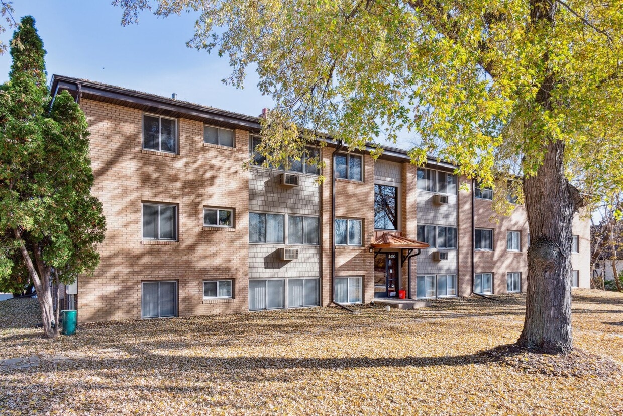
The Eloise Apartments
2850 N Wayzata Blvd,
Minneapolis, MN 55405
$1,738 - $2,253 Total Monthly Price
1-2 Beds

Bedrooms
1 bd
Bathrooms
1 ba
Square Feet
600 - 680 sq ft
Nestled in the quiet Golden Valley Suburb, this building is conveniently located off Highway 100 and offers residents access to a myriad of dining, shopping, and entertainment options. There is also quick access to downtown Minneapolis, making this the perfect spot for convince and tranquility.
Nestled in the quiet Golden Valley Suburb, this building is conveniently located off Highway 100 and offers residents access to a myriad of dining, shopping, and entertainment options. There is also quick access to downtown Minneapolis, making this the perfect spot for convince and tranquility.
West End Trails is an apartment community located in Hennepin County and the 55422 ZIP Code. This area is served by the Robbinsdale Public School District attendance zone.
Situated just over three miles northwest of Downtown Minneapolis, Glenwood Junction consistently ranks as one of the best suburbs in Minneapolis. There’s a diverse renter population here, including families, students, commuting professionals, and everyone in between. Residents praise the area for its attractive streets, lush landscape, nearby parks, and top-notch schools.
There’s a modest selection of restaurants, shopping centers, and entertainment options scattered around the neighborhood, the bulk of which you’ll find along Highway 55. But the main calling card of Glenwood Junction is Theodore Wirth Regional Park, and the Eloise Butler Wildflower Garden. Both green spaces give the area a lush feel and make it a welcome escape from the city that lies just a few minutes away.
Learn more about living in Glenwood JunctionCompare neighborhood and city base rent averages by bedroom.
| Glenwood Junction | Golden Valley, MN | |
|---|---|---|
| Studio | $1,137 | $1,499 |
| 1 Bedroom | $1,334 | $1,513 |
| 2 Bedrooms | $1,636 | $2,007 |
| 3 Bedrooms | $2,109 | $2,821 |
| Colleges & Universities | Distance | ||
|---|---|---|---|
| Colleges & Universities | Distance | ||
| Drive: | 11 min | 5.7 mi | |
| Drive: | 11 min | 6.1 mi | |
| Drive: | 14 min | 6.9 mi | |
| Drive: | 15 min | 8.9 mi |


Transportation options available in Golden Valley include Target Field Station Platform 2, located 4.9 miles from West End Trails. West End Trails is near Minneapolis-St Paul International/Wold-Chamberlain, located 18.3 miles or 27 minutes away.
| Transit / Subway | Distance | ||
|---|---|---|---|
| Transit / Subway | Distance | ||
| Drive: | 11 min | 4.9 mi | |
|
|
Drive: | 11 min | 5.0 mi |
|
|
Drive: | 11 min | 6.4 mi |
|
|
Drive: | 12 min | 6.6 mi |
|
|
Drive: | 13 min | 7.0 mi |
| Commuter Rail | Distance | ||
|---|---|---|---|
| Commuter Rail | Distance | ||
|
|
Drive: | 11 min | 5.0 mi |
|
|
Drive: | 14 min | 8.9 mi |
|
|
Drive: | 25 min | 16.7 mi |
|
|
Drive: | 28 min | 16.9 mi |
|
|
Drive: | 29 min | 20.0 mi |
| Airports | Distance | ||
|---|---|---|---|
| Airports | Distance | ||
|
Minneapolis-St Paul International/Wold-Chamberlain
|
Drive: | 27 min | 18.3 mi |
Scores provided by
Traffic
ActiveAirport
CalmBusinesses
CalmScores provided by
HowLoud What is a Sound Score Rating? A Sound Score Rating aggregates noise caused by vehicle traffic, airplane traffic and local sources. How It WorksTime and distance from West End Trails.
| Shopping Centers | Distance | ||
|---|---|---|---|
| Shopping Centers | Distance | ||
| Walk: | 15 min | 0.8 mi | |
| Walk: | 17 min | 0.9 mi | |
| Drive: | 3 min | 1.4 mi |
| Parks and Recreation | Distance | ||
|---|---|---|---|
| Parks and Recreation | Distance | ||
|
Valley View Park
|
Drive: | 7 min | 2.7 mi |
|
East Medicine Lake Park
|
Drive: | 7 min | 2.8 mi |
|
Quaking Bog
|
Drive: | 6 min | 2.8 mi |
|
Theodore Wirth Park
|
Drive: | 7 min | 3.2 mi |
|
JD Rivers' Children's Garden
|
Drive: | 7 min | 3.2 mi |
| Hospitals | Distance | ||
|---|---|---|---|
| Hospitals | Distance | ||
| Drive: | 9 min | 4.1 mi | |
| Drive: | 10 min | 6.0 mi | |
| Drive: | 14 min | 7.2 mi |
| Military Bases | Distance | ||
|---|---|---|---|
| Military Bases | Distance | ||
| Drive: | 25 min | 16.6 mi |
Pets Allowed High-Speed Internet Laundry Facilities
Pets Allowed Fitness Center Pool Dishwasher Refrigerator Clubhouse Maintenance on site
Pets Allowed Fitness Center Dishwasher Refrigerator Kitchen In Unit Washer & Dryer
Pets Allowed Fitness Center Pool Dishwasher Refrigerator Kitchen
What Are Walk Score®, Transit Score®, and Bike Score® Ratings?
Walk Score® measures the walkability of any address. Transit Score® measures access to public transit. Bike Score® measures the bikeability of any address.
What is a Sound Score Rating?
A Sound Score Rating aggregates noise caused by vehicle traffic, airplane traffic and local sources.
1500 Douglas Dr N
Golden Valley, MN 55422


