
Morgan Parc
199 2nd St,
Mineola, NY 11501
$3,895 - $5,600
1-2 Beds


Experience Mineola living at Royal Blue. The 101 Searing Ave location in the 11501 neighborhood of Mineola is convenient to everything. The leasing team will assist you in finding the perfect apartment. So get a head start on your move. Contact or stop by the Royal Blue leasing office to schedule a tour.
The Royal Blue is an apartment community located in Nassau County and the 11501 ZIP Code. This area is served by the Mineola Union Free School District attendance zone.
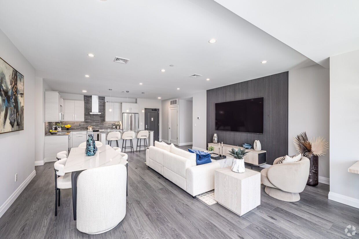
Unique Features
Pool
Fitness Center
Elevator
Clubhouse
Washer/Dryer
Air Conditioning
Dishwasher
Hardwood Floors
Walk-In Closets
Island Kitchen
Microwave
Refrigerator
Mineola carries real weight for such a compact place — it serves as the county seat of Nassau County, placing government offices, courthouses, and civic infrastructure at its center on Long Island, about 25 miles east of New York City. The village covers just two square miles, yet that small footprint houses a dense, active community with a well-established healthcare corridor anchored by NYU Langone Hospital–Long Island. Its position along the Long Island Rail Road's Main Line makes commuting into Manhattan or out toward the east end of the island genuinely straightforward.
The housing stock reflects a range of options, from traditional two-story homes to mid-rise apartment communities suited for those who want walkable access to the village core. Jericho Turnpike and Mineola Avenue form the main commercial spines, lined with locally rooted restaurants, service businesses, and shops.
Learn more about living in Mineola| Colleges & Universities | Distance | ||
|---|---|---|---|
| Colleges & Universities | Distance | ||
| Drive: | 7 min | 2.8 mi | |
| Drive: | 8 min | 3.9 mi | |
| Drive: | 8 min | 4.2 mi | |
| Drive: | 11 min | 4.9 mi |


Transportation options available in Mineola include Jamaica-179 Street, located 8.8 miles from The Royal Blue. The Royal Blue is near John F Kennedy International, located 14.5 miles or 25 minutes away, and LaGuardia, located 16.3 miles or 27 minutes away.
| Transit / Subway | Distance | ||
|---|---|---|---|
| Transit / Subway | Distance | ||
|
|
Drive: | 16 min | 8.8 mi |
|
|
Drive: | 17 min | 9.3 mi |
|
|
Drive: | 19 min | 9.7 mi |
|
|
Drive: | 18 min | 9.8 mi |
|
|
Drive: | 19 min | 10.2 mi |
| Commuter Rail | Distance | ||
|---|---|---|---|
| Commuter Rail | Distance | ||
|
|
Walk: | 10 min | 0.6 mi |
|
|
Drive: | 3 min | 1.4 mi |
|
|
Drive: | 4 min | 2.2 mi |
|
|
Drive: | 5 min | 2.2 mi |
|
|
Drive: | 5 min | 2.2 mi |
| Airports | Distance | ||
|---|---|---|---|
| Airports | Distance | ||
|
John F Kennedy International
|
Drive: | 25 min | 14.5 mi |
|
LaGuardia
|
Drive: | 27 min | 16.3 mi |
Scores provided by
Traffic
-Airport
-Businesses
-Scores provided by
HowLoud What is a Sound Score Rating? A Sound Score Rating aggregates noise caused by vehicle traffic, airplane traffic and local sources. How It WorksTime and distance from The Royal Blue.
| Shopping Centers | Distance | ||
|---|---|---|---|
| Shopping Centers | Distance | ||
| Drive: | 4 min | 1.5 mi | |
| Drive: | 4 min | 1.9 mi | |
| Drive: | 5 min | 2.1 mi |
| Parks and Recreation | Distance | ||
|---|---|---|---|
| Parks and Recreation | Distance | ||
|
Clark Botanic Garden
|
Drive: | 5 min | 2.6 mi |
|
Long Island Children's Museum
|
Drive: | 7 min | 3.3 mi |
|
Old Westbury Gardens
|
Drive: | 7 min | 3.7 mi |
|
Hofstra University Arboretum
|
Drive: | 9 min | 4.7 mi |
|
Hempstead Lake State Park
|
Drive: | 11 min | 5.3 mi |
| Hospitals | Distance | ||
|---|---|---|---|
| Hospitals | Distance | ||
| Walk: | 11 min | 0.6 mi | |
| Drive: | 9 min | 4.4 mi | |
| Drive: | 10 min | 5.2 mi |
| Military Bases | Distance | ||
|---|---|---|---|
| Military Bases | Distance | ||
| Drive: | 19 min | 10.8 mi | |
| Drive: | 39 min | 23.2 mi | |
| Drive: | 47 min | 24.7 mi |
What Are Walk Score®, Transit Score®, and Bike Score® Ratings?
Walk Score® measures the walkability of any address. Transit Score® measures access to public transit. Bike Score® measures the bikeability of any address.
What is a Sound Score Rating?
A Sound Score Rating aggregates noise caused by vehicle traffic, airplane traffic and local sources.
101 Searing Ave
Mineola, NY 11501


