
Villas Las Naranjas
1345 S Kolb Rd,
Tucson, AZ 85710
$749 - $1,399
Studio - 3 Beds
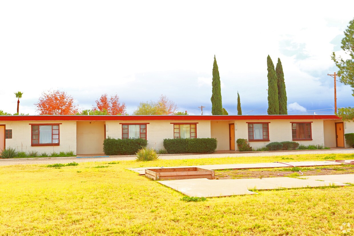

At The Lariat in Tucson, experience fine living. Situated in the 85706 Zip code of Tucson on E. Benson Hwy., residents have easy connection to a variety of nearby points of interest. Make sure you to check out the current floorplan options. At this community, you'll have a wide selection of features and amenities including: smoke free options, high-speed internet access, and convenient on-site parking options. Get a head start on your move right now. Contact or stop by the The Lariat leasing office to schedule a tour.
The Lariat is an apartment community located in Pima County and the 85706 ZIP Code. This area is served by the Sunnyside Unified District attendance zone.
Air Conditioning
High Speed Internet Access
Smoke Free
Kitchen
Not to be confused with the enclave within the city of Tucson, South Tucson refers to the entire southern portion of Tucson. There are a wide variety of rentals in this area, from affordable apartments to spacious houses and everything in between.
Residents enjoy access to a wide variety of amenities in this region, including Tucson Mountain Park in the west, Kino Sports Complex in the east, Pima Air and Space Museum in the southeast, and Tucson International Airport in the southernmost stretches of the community. Convenience to Interstates 10 and 19 connects the region to the heart of Downtown Tucson and beyond.
Learn more about living in South TucsonCompare neighborhood and city base rent averages by bedroom.
| South Tucson | Tucson, AZ | |
|---|---|---|
| Studio | $640 | $798 |
| 1 Bedroom | $974 | $987 |
| 2 Bedrooms | $1,133 | $1,270 |
| 3 Bedrooms | $1,362 | $1,685 |
| Colleges & Universities | Distance | ||
|---|---|---|---|
| Colleges & Universities | Distance | ||
| Drive: | 14 min | 5.3 mi | |
| Drive: | 15 min | 7.2 mi | |
| Drive: | 13 min | 8.4 mi | |
| Drive: | 17 min | 9.2 mi |


Transportation options available in Tucson include Sl/Congress/4Th Av (Se), located 6.0 miles from The Lariat. The Lariat is near Tucson International, located 3.8 miles or 8 minutes away.
| Transit / Subway | Distance | ||
|---|---|---|---|
| Transit / Subway | Distance | ||
| Drive: | 12 min | 6.0 mi | |
| Drive: | 11 min | 7.5 mi | |
| Drive: | 11 min | 8.1 mi | |
| Drive: | 12 min | 8.3 mi | |
| Drive: | 12 min | 8.4 mi |
| Commuter Rail | Distance | ||
|---|---|---|---|
| Commuter Rail | Distance | ||
|
|
Drive: | 12 min | 6.2 mi |
| Airports | Distance | ||
|---|---|---|---|
| Airports | Distance | ||
|
Tucson International
|
Drive: | 8 min | 3.8 mi |
Time and distance from The Lariat.
| Shopping Centers | Distance | ||
|---|---|---|---|
| Shopping Centers | Distance | ||
| Drive: | 3 min | 1.4 mi | |
| Drive: | 3 min | 1.5 mi | |
| Drive: | 4 min | 1.6 mi |
| Parks and Recreation | Distance | ||
|---|---|---|---|
| Parks and Recreation | Distance | ||
|
Augie Acuna Los Ninos Park
|
Drive: | 5 min | 2.0 mi |
|
Sunnyside Park
|
Drive: | 6 min | 2.4 mi |
|
Thomas Jay Regional Park
|
Drive: | 6 min | 3.6 mi |
|
Mission Manor Park
|
Drive: | 11 min | 4.4 mi |
|
Freedom Park
|
Drive: | 10 min | 5.4 mi |
| Hospitals | Distance | ||
|---|---|---|---|
| Hospitals | Distance | ||
| Drive: | 5 min | 2.3 mi | |
| Drive: | 14 min | 7.0 mi | |
| Drive: | 14 min | 9.3 mi |
| Military Bases | Distance | ||
|---|---|---|---|
| Military Bases | Distance | ||
| Drive: | 9 min | 3.9 mi | |
| Drive: | 13 min | 7.9 mi | |
| Drive: | 79 min | 67.6 mi |
Pets Allowed Fitness Center Clubhouse Grill Controlled Access Granite Countertops Playground
What Are Walk Score®, Transit Score®, and Bike Score® Ratings?
Walk Score® measures the walkability of any address. Transit Score® measures access to public transit. Bike Score® measures the bikeability of any address.
What is a Sound Score Rating?
A Sound Score Rating aggregates noise caused by vehicle traffic, airplane traffic and local sources.

3264 E Benson Hwy
Tucson, AZ 85706


