
Gettysburg Square
35 Gettysburg Square Rd,
Fort Thomas, KY 41075
$1,080 - $1,970
1-2 Beds
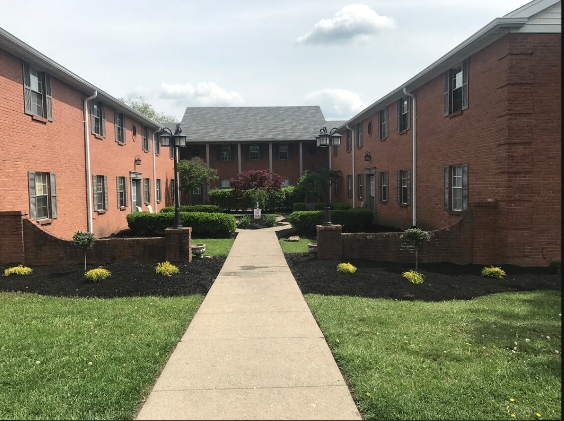
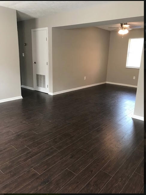
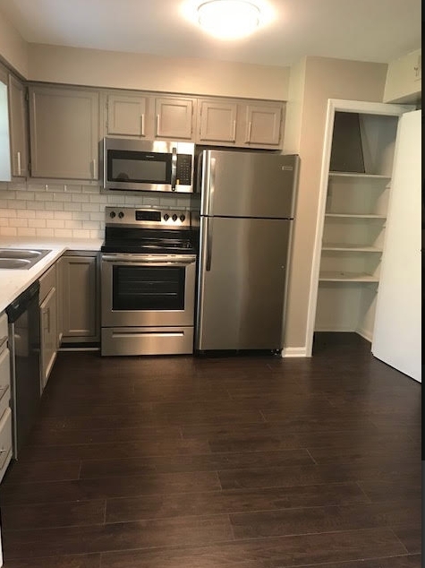

The Daveed offers a combination of comfort, style, and convenience. You'll find this community in the Campbell County area of Fort Thomas. Let the knowledgeable leasing staff show you everything this community has in store. Experience a new standard at The Daveed.
The Daveed is an apartment community located in Campbell County and the 41075 ZIP Code. This area is served by the Fort Thomas Independent attendance zone.
Fort Thomas is a small suburban city on the bank of the Ohio River, practically within sight of Cincinnati’s Central Business District. Most of the city’s landscape is filled by residential neighborhoods, with lush greenspaces like Highland Hills Park and Highland Country Club augmenting the scenery.
A small Downtown district along Fort Thomas Avenue provides residents with a great area to hang out amid the town’s historic buildings, with coffee shops, restaurants, and cozy neighborhood taverns operating out of the area’s vintage storefronts. Boasting exceptional public schools and a very low crime rate, Fort Thomas is a terrific option for folks raising families.
Learn more about living in Fort Thomas| Colleges & Universities | Distance | ||
|---|---|---|---|
| Colleges & Universities | Distance | ||
| Drive: | 11 min | 4.2 mi | |
| Drive: | 14 min | 6.7 mi | |
| Drive: | 14 min | 6.9 mi | |
| Drive: | 17 min | 8.3 mi |


Transportation options available in Fort Thomas include Richter & Phillips Station, 6Th & Main, located 4.6 miles from The Daveed. The Daveed is near Cincinnati/Northern Kentucky International, located 17.1 miles or 32 minutes away.
| Transit / Subway | Distance | ||
|---|---|---|---|
| Transit / Subway | Distance | ||
| Drive: | 9 min | 4.6 mi | |
| Drive: | 10 min | 4.7 mi | |
| Drive: | 10 min | 4.8 mi | |
| Drive: | 10 min | 4.9 mi | |
| Drive: | 10 min | 4.9 mi |
| Commuter Rail | Distance | ||
|---|---|---|---|
| Commuter Rail | Distance | ||
|
|
Drive: | 14 min | 6.8 mi |
| Airports | Distance | ||
|---|---|---|---|
| Airports | Distance | ||
|
Cincinnati/Northern Kentucky International
|
Drive: | 32 min | 17.1 mi |
Time and distance from The Daveed.
| Shopping Centers | Distance | ||
|---|---|---|---|
| Shopping Centers | Distance | ||
| Drive: | 6 min | 1.9 mi | |
| Drive: | 6 min | 2.3 mi | |
| Drive: | 7 min | 2.3 mi |
| Parks and Recreation | Distance | ||
|---|---|---|---|
| Parks and Recreation | Distance | ||
|
Newport Aquarium
|
Drive: | 10 min | 4.0 mi |
|
Theodore M. Berry Friendship Park
|
Drive: | 9 min | 4.9 mi |
|
Krohn Conservatory
|
Drive: | 10 min | 4.9 mi |
|
California Woods Nature Preserve
|
Drive: | 15 min | 7.4 mi |
|
Stanbery Park
|
Drive: | 19 min | 9.6 mi |
| Hospitals | Distance | ||
|---|---|---|---|
| Hospitals | Distance | ||
| Drive: | 3 min | 1.2 mi | |
| Drive: | 11 min | 5.9 mi | |
| Drive: | 13 min | 6.5 mi |
| Military Bases | Distance | ||
|---|---|---|---|
| Military Bases | Distance | ||
| Drive: | 80 min | 57.4 mi | |
| Drive: | 87 min | 62.5 mi | |
| Drive: | 89 min | 65.8 mi |
What Are Walk Score®, Transit Score®, and Bike Score® Ratings?
Walk Score® measures the walkability of any address. Transit Score® measures access to public transit. Bike Score® measures the bikeability of any address.
What is a Sound Score Rating?
A Sound Score Rating aggregates noise caused by vehicle traffic, airplane traffic and local sources

126-132 S Fort Thomas Ave
Fort Thomas, KY 41075


