
Elm Park Apartments
1051 Greenwood St,
Florence, OR 97439
$619 - $1,090
2-3 Beds

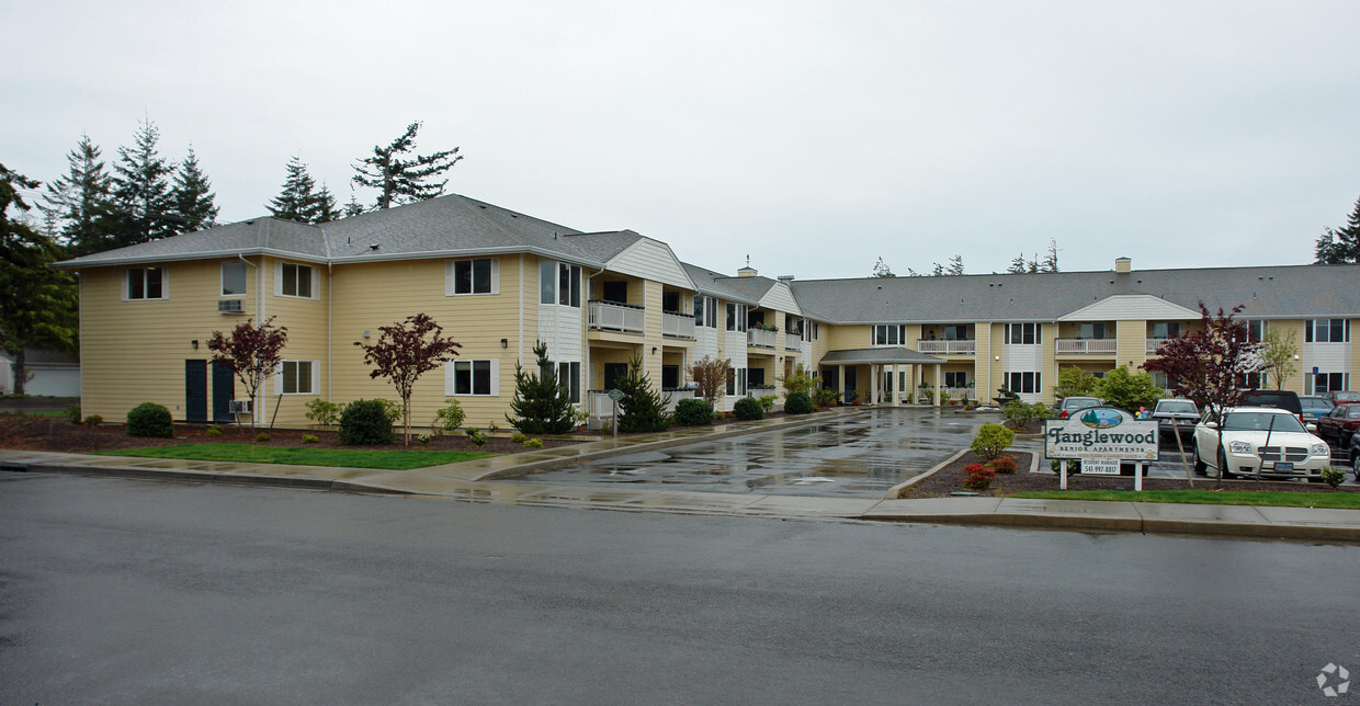
Discover a new home at Tanglewood. The 1956 16th St. location in Florence's 97439 area has much to offer its residents. The leasing team will assist you in finding the perfect floorplan option. Come by to check out the current floorplan options. Come see Tanglewood today.
Tanglewood is an apartment community located in Lane County and the 97439 ZIP Code. This area is served by the Siuslaw School District 97j attendance zone.
Air Conditioning
High Speed Internet Access
Smoke Free
Cable Ready
Florence is a small coastal city where the Siuslaw River meets the Pacific Ocean, giving everyday life a rhythm shaped by tides, towering dunes, and towering Douglas firs. Sitting along U.S. Route 101 about sixty miles west of Eugene, it carries the quiet confidence of a former lumber town that has grown into a destination in its own right. Old Town Florence anchors the social core, with a river boardwalk, locally owned shops, and a laid-back atmosphere that makes it feel more like a neighborhood than a downtown district. The surrounding landscape includes the Oregon Dunes National Recreation Area, one of the largest coastal dune systems in North America.
The rental market here reflects the city's smaller scale, with a mix of single-family rentals, modest apartment communities, and occasional townhome-style units spread across a compact footprint of roughly six square miles. Options tend toward understated Pacific Northwest architecture rather than high-rise living.
Learn more about living in Florence


Scores provided by
Traffic
-Airport
-Businesses
-Scores provided by
HowLoud What is a Sound Score Rating? A Sound Score Rating aggregates noise caused by vehicle traffic, airplane traffic and local sources. How It Works
What Are Walk Score®, Transit Score®, and Bike Score® Ratings?
Walk Score® measures the walkability of any address. Transit Score® measures access to public transit. Bike Score® measures the bikeability of any address.
What is a Sound Score Rating?
A Sound Score Rating aggregates noise caused by vehicle traffic, airplane traffic and local sources.
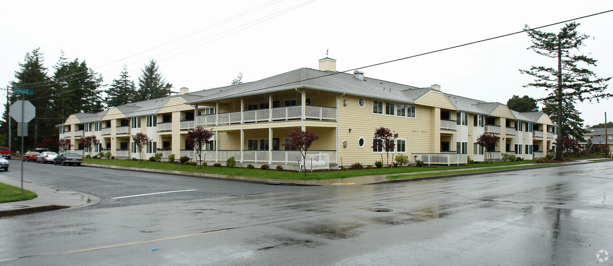
1956 16th St
Florence, OR 97439