
Dover Park Apartments
713 E Travis Blvd,
Fairfield, CA 94533
$1,647 - $2,550
1-4 Beds

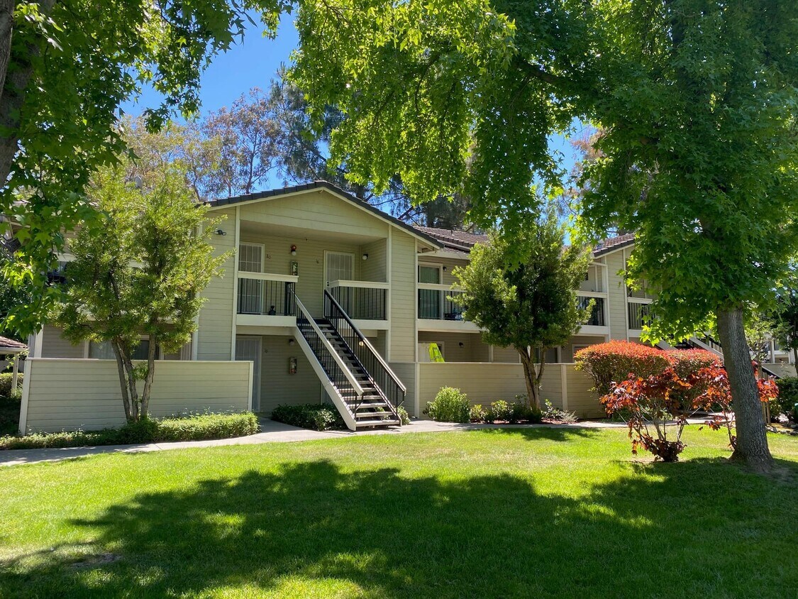
Sunset Pines is an affordable housing community. Income restrictions apply. Please find information regarding income requirements on the Sunset Pines website. Sunset Pines is a garden-style apartment community with landscaped outdoor common areas and bench seating. These generously sized apartments are available for immediate move-in. Newly painted and updated units include full-size kitchens including refrigerator/freezer, dishwasher, and ranges, bathrooms with tub/shower, plenty of closet space, and private balconies or patios. Community amenities include a landscaped picnic area with BBQ grills, basketball court, onsite laundry facilities, and onsite parking. The community also has onsite management and maintenance. Services offered to residents include connection to community services. Sunset Pines is located near shopping, restaurants, Jelly Belly Candy Factory, Scandia Family Center, and the Travis Air Force Base. Take advantage of walking paths and playgrounds at Dover Park, and Heritage Park, or enjoy hiking or fishing at the Peytonia Slough Ecological Reserve. For complete information about Sunset Pines, please click on "View Property Website" below.
Sunset Pines is an apartment community located in Solano County and the 94533 ZIP Code. This area is served by the Fairfield-Suisun Unified School District attendance zone.
Laundry Facilities
Playground
Grill
Gated
Air Conditioning
Dishwasher
High Speed Internet Access
Refrigerator
Fairfield sits at the center of Solano County as its county seat, planted squarely along Interstate 80 between Sacramento and San Francisco—making it a practical home base for people who work in either direction. Founded in 1856 by clipper ship captain Robert H. Waterman, who named it after his Connecticut hometown, the city has grown into a place with real economic range. Travis Air Force Base anchors a significant portion of the local economy, while the Jelly Belly Candy Company and Anheuser-Busch brewery add to a workforce that also draws from healthcare, retail, and commercial sectors. Solano Community College serves students throughout the region and adds an educational presence to the community.
Neighborhoods shift noticeably from one part of the city to another. Downtown and the West Texas Street corridor offer walkable blocks with local shops and a more urban rhythm, while Cordelia and Green Valley lean toward hillside settings with open space nearby.
Learn more about living in Fairfield| Colleges & Universities | Distance | ||
|---|---|---|---|
| Colleges & Universities | Distance | ||
| Drive: | 14 min | 8.6 mi | |
| Drive: | 25 min | 18.7 mi | |
| Drive: | 30 min | 22.0 mi | |
| Drive: | 52 min | 38.9 mi |


Scores provided by
Traffic
ActiveAirport
CalmBusinesses
CalmScores provided by
HowLoud What is a Sound Score Rating? A Sound Score Rating aggregates noise caused by vehicle traffic, airplane traffic and local sources. How It Works
What Are Walk Score®, Transit Score®, and Bike Score® Ratings?
Walk Score® measures the walkability of any address. Transit Score® measures access to public transit. Bike Score® measures the bikeability of any address.
What is a Sound Score Rating?
A Sound Score Rating aggregates noise caused by vehicle traffic, airplane traffic and local sources.
1705 Sunset Ave
Fairfield, CA 94533


