
Del Oro on Broadway
986 Broadway,
Chula Vista, CA 91911
$3,095 - $3,245
2 Beds
*please note the pictures may not depict the available units
Sterling Terrace-City Heights Adjacent is an apartment community located in San Diego County and the 92105 ZIP Code. This area is served by the San Diego Unified attendance zone.
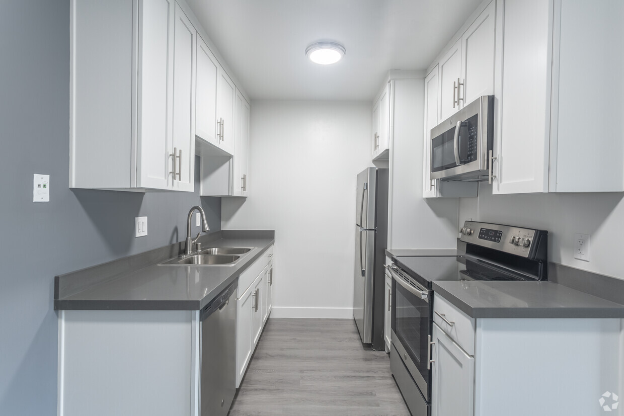
Air Conditioning
Dishwasher
High Speed Internet Access
Microwave
The majority of Chollas Creek is strictly residential, with quiet streets fairly removed from the busier thoroughfares. Local parents have options for their young children’s education, with both a public elementary school and a Waldorf school at the center of the neighborhood (and with a healthy sidewalk system, walking to class is a breeze).
On the north side, University Avenue packs an incredibly diverse selection of international eateries into just a few blocks, giving residents options as unique as French, Somali, and Vietnamese cuisines literally next door to one another.
Promise Hospital sits just beyond the northeast corner of the neighborhood, making it a great location for healthcare professionals; and with San Diego State University’s campus right up the road, Chollas Creek’s affordable rental houses and apartments are ideal for students.
Learn more about living in Chollas Creek| Colleges & Universities | Distance | ||
|---|---|---|---|
| Colleges & Universities | Distance | ||
| Drive: | 13 min | 4.0 mi | |
| Drive: | 10 min | 5.2 mi | |
| Drive: | 11 min | 5.6 mi | |
| Drive: | 14 min | 6.8 mi |


Transportation options available in San Diego include Euclid Avenue, located 2.9 miles from Sterling Terrace-City Heights Adjacent. Sterling Terrace-City Heights Adjacent is near San Diego International, located 8.8 miles or 16 minutes away.
| Transit / Subway | Distance | ||
|---|---|---|---|
| Transit / Subway | Distance | ||
|
|
Drive: | 8 min | 2.9 mi |
|
|
Drive: | 7 min | 3.1 mi |
|
|
Drive: | 8 min | 3.2 mi |
|
|
Drive: | 8 min | 4.1 mi |
|
|
Drive: | 12 min | 4.3 mi |
| Commuter Rail | Distance | ||
|---|---|---|---|
| Commuter Rail | Distance | ||
|
|
Drive: | 12 min | 6.4 mi |
|
|
Drive: | 15 min | 9.4 mi |
|
|
Drive: | 24 min | 16.2 mi |
|
|
Drive: | 32 min | 23.2 mi |
|
|
Drive: | 36 min | 26.9 mi |
| Airports | Distance | ||
|---|---|---|---|
| Airports | Distance | ||
|
San Diego International
|
Drive: | 16 min | 8.8 mi |
Time and distance from Sterling Terrace-City Heights Adjacent.
| Shopping Centers | Distance | ||
|---|---|---|---|
| Shopping Centers | Distance | ||
| Drive: | 3 min | 1.1 mi | |
| Drive: | 3 min | 1.2 mi | |
| Drive: | 4 min | 1.5 mi |
| Parks and Recreation | Distance | ||
|---|---|---|---|
| Parks and Recreation | Distance | ||
|
Chollas Lake Park
|
Drive: | 9 min | 2.7 mi |
|
San Diego Zoo
|
Drive: | 13 min | 5.1 mi |
|
San Diego Natural History Museum
|
Drive: | 13 min | 5.5 mi |
|
Balboa Park
|
Drive: | 12 min | 6.6 mi |
|
Fleet Science Center
|
Drive: | 14 min | 7.1 mi |
| Hospitals | Distance | ||
|---|---|---|---|
| Hospitals | Distance | ||
| Drive: | 9 min | 3.8 mi | |
| Drive: | 8 min | 4.0 mi | |
| Drive: | 10 min | 5.5 mi |
| Military Bases | Distance | ||
|---|---|---|---|
| Military Bases | Distance | ||
| Drive: | 12 min | 6.5 mi |
What Are Walk Score®, Transit Score®, and Bike Score® Ratings?
Walk Score® measures the walkability of any address. Transit Score® measures access to public transit. Bike Score® measures the bikeability of any address.
What is a Sound Score Rating?
A Sound Score Rating aggregates noise caused by vehicle traffic, airplane traffic and local sources

4999 Sterling Ct
San Diego, CA 92105


