
Pebble Brooke Apartments
1288 Pebble Brooke Trl,
Milford, OH 45150
$1,225 - $1,541
2-3 Beds
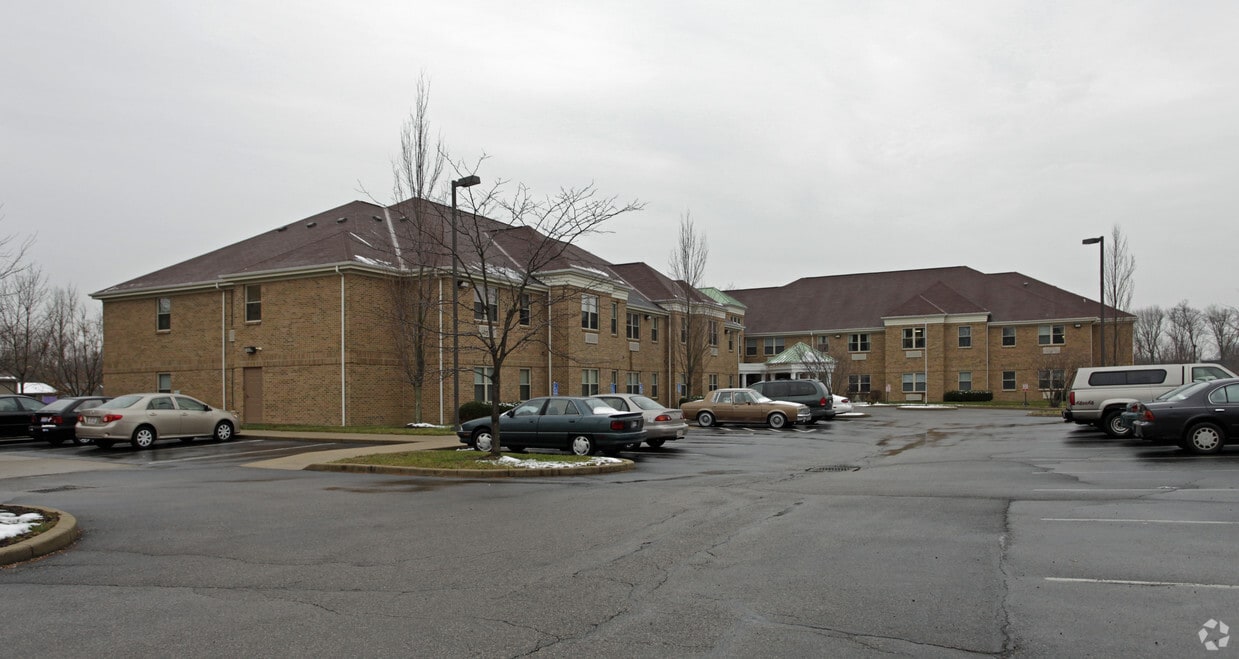
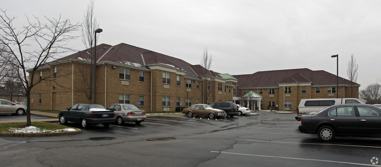

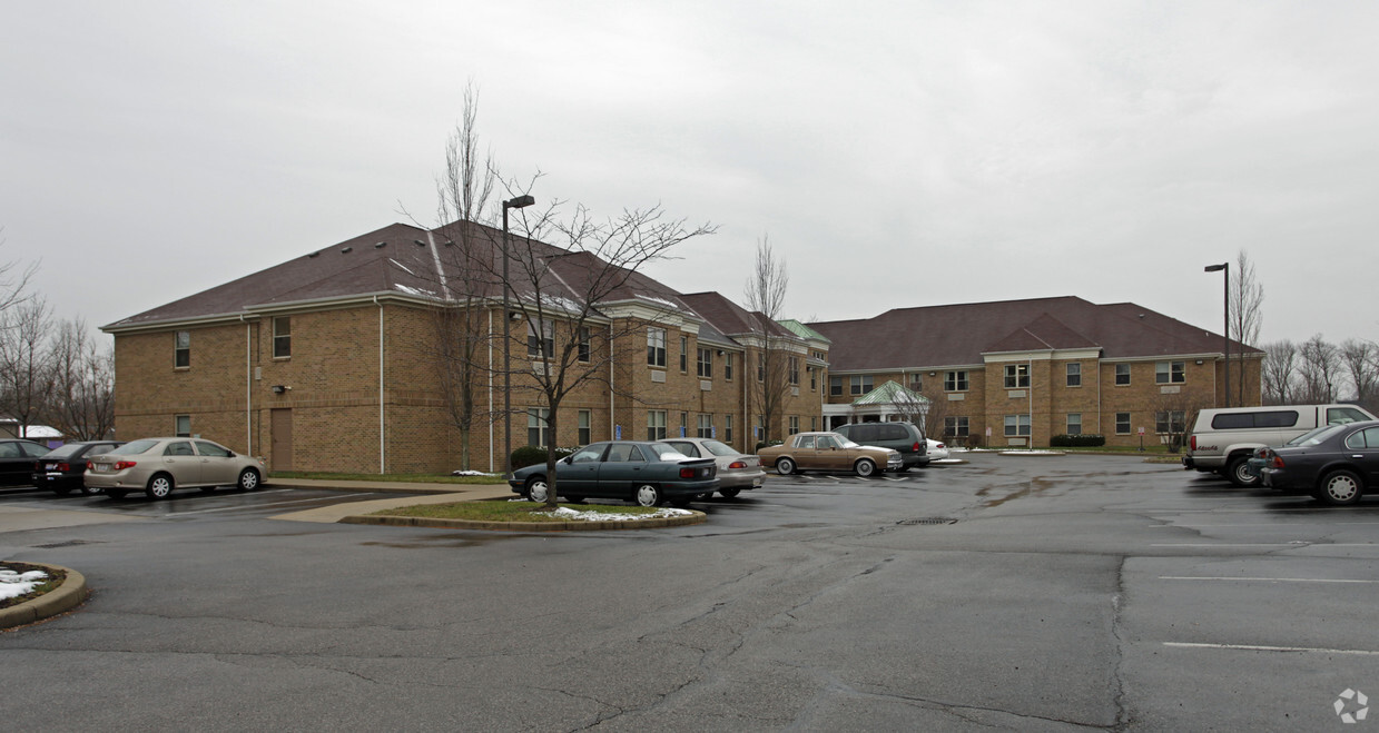
Enjoy Milford living at St. Marks Community. Located at 5853 Buckwheat Rd in Milford, this community is perfectly situated for work or play. The leasing staff will assist you in finding your perfect new place. Experience a new standard at St. Marks Community.
St. Marks Community is an apartment community located in Clermont County and the 45150 ZIP Code. This area is served by the Milford Exempted Village School District attendance zone.
Air Conditioning
High Speed Internet Access
Refrigerator
Tub/Shower
Milford, Ohio sits where the Little Miami River and its East Fork meet, giving this small Cincinnati-area city a natural backdrop that shapes its identity as much as its storied past. Settled in 1796, it stands as one of the oldest communities in Clermont County, and that history is still felt today along its brick-accented Main Street, where period lighting and preserved architecture keep the founding era close at hand.
Despite its compact four-square-mile footprint, Milford punches above its weight in terms of character. Positioned about 15 miles from Downtown Cincinnati, it draws renters who want easy access to the metro area without trading away a neighborhood feel. The local scene is anchored by a genuine small-town core, and annual events like the Art Affaire and Milford Frontier Days give the calendar a community rhythm that bigger cities often struggle to replicate.
Learn more about living in Milford| Colleges & Universities | Distance | ||
|---|---|---|---|
| Colleges & Universities | Distance | ||
| Drive: | 25 min | 15.2 mi | |
| Drive: | 26 min | 16.2 mi | |
| Drive: | 26 min | 17.7 mi | |
| Drive: | 35 min | 18.0 mi |


Scores provided by
Traffic
-Airport
-Businesses
-Scores provided by
HowLoud What is a Sound Score Rating? A Sound Score Rating aggregates noise caused by vehicle traffic, airplane traffic and local sources. How It WorksPets Allowed Fitness Center Pool Dishwasher Refrigerator Kitchen
Pets Allowed Pool In Unit Washer & Dryer Clubhouse Maintenance on site Stainless Steel Appliances
What Are Walk Score®, Transit Score®, and Bike Score® Ratings?
Walk Score® measures the walkability of any address. Transit Score® measures access to public transit. Bike Score® measures the bikeability of any address.
What is a Sound Score Rating?
A Sound Score Rating aggregates noise caused by vehicle traffic, airplane traffic and local sources.
5853 Buckwheat Rd
Milford, OH 45150


