
Latitude at Mallard Creek
655 W Mallard Creek Church Rd,
Charlotte, NC 28262
$1,340 - $2,065
1-3 Beds
We are now under new management! Our affordable Apartment Homes are conveniently located just minutes from Uptown, the Cotswold Community, and the Independence corridor. Great shops, restaurants, and area attractions are just around the corner and within walking distance. Sharon Oaks offers a variety of amenities that will make you feel like you are home. Give us a call today!
Sharon Oaks Apartments is an apartment community located in Mecklenburg County and the 28212 ZIP Code. This area is served by the Charlotte-Mecklenburg attendance zone.
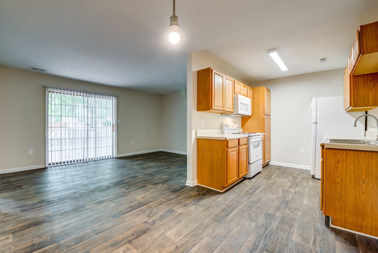
Unique Features
Laundry Facilities
Grill
24 Hour Access
Picnic Area
Air Conditioning
Dishwasher
Washer/Dryer Hookup
High Speed Internet Access
Hardwood Floors
Microwave
Refrigerator
Wi-Fi
East Forest is located about nine miles south of Downtown Charlotte. Families flock to this area for East Forest’s great schools, but renters from all walks of life can enjoy the neighborhood. The area is known for its low cost of living and affordability, offering a variety of rentals at any budget. Residents enjoy easy access to lots of restaurants, grocers, retailers, and wholesale clubs. This affordable area sits directly to the west of Independence Boulevard and appeals to those needing to commute Uptown Charlotte without wanting to access the city's busy highways. However, residents can take U.S. Route 74 into the heart of the city and the metro area.
Learn more about living in East ForestCompare neighborhood and city base rent averages by bedroom.
| East Forest | Charlotte, NC | |
|---|---|---|
| Studio | $1,290 | $1,388 |
| 1 Bedroom | $1,176 | $1,467 |
| 2 Bedrooms | $1,478 | $1,756 |
| 3 Bedrooms | $1,960 | $2,156 |
| Colleges & Universities | Distance | ||
|---|---|---|---|
| Colleges & Universities | Distance | ||
| Drive: | 7 min | 5.0 mi | |
| Drive: | 11 min | 5.8 mi | |
| Drive: | 11 min | 5.9 mi | |
| Drive: | 10 min | 6.6 mi |


Transportation options available in Charlotte include Hawthorne Ln & 8Th St Citylynx, located 3.9 miles from Sharon Oaks Apartments. Sharon Oaks Apartments is near Charlotte/Douglas International, located 13.5 miles or 24 minutes away, and Concord-Padgett Regional, located 18.2 miles or 28 minutes away.
| Transit / Subway | Distance | ||
|---|---|---|---|
| Transit / Subway | Distance | ||
| Drive: | 7 min | 3.9 mi | |
| Drive: | 8 min | 4.1 mi | |
| Drive: | 8 min | 4.2 mi | |
| Drive: | 8 min | 5.2 mi | |
| Drive: | 8 min | 5.2 mi |
| Commuter Rail | Distance | ||
|---|---|---|---|
| Commuter Rail | Distance | ||
|
|
Drive: | 11 min | 6.7 mi |
|
|
Drive: | 37 min | 27.1 mi |
| Drive: | 40 min | 28.9 mi |
| Airports | Distance | ||
|---|---|---|---|
| Airports | Distance | ||
|
Charlotte/Douglas International
|
Drive: | 24 min | 13.5 mi |
|
Concord-Padgett Regional
|
Drive: | 28 min | 18.2 mi |
Time and distance from Sharon Oaks Apartments.
| Shopping Centers | Distance | ||
|---|---|---|---|
| Shopping Centers | Distance | ||
| Walk: | 9 min | 0.5 mi | |
| Walk: | 17 min | 0.9 mi | |
| Drive: | 2 min | 1.4 mi |
| Parks and Recreation | Distance | ||
|---|---|---|---|
| Parks and Recreation | Distance | ||
|
Evergreen Nature Preserve
|
Drive: | 5 min | 1.8 mi |
|
Campbell Creek Greenway
|
Drive: | 5 min | 3.1 mi |
|
Briar Creek Greenway
|
Drive: | 10 min | 5.5 mi |
|
Wing Haven Gardens & Bird Sanctuary
|
Drive: | 13 min | 6.5 mi |
|
Charlotte Nature Museum
|
Drive: | 13 min | 6.6 mi |
| Hospitals | Distance | ||
|---|---|---|---|
| Hospitals | Distance | ||
| Drive: | 8 min | 4.1 mi | |
| Drive: | 10 min | 6.3 mi | |
| Drive: | 17 min | 8.9 mi |
What Are Walk Score®, Transit Score®, and Bike Score® Ratings?
Walk Score® measures the walkability of any address. Transit Score® measures access to public transit. Bike Score® measures the bikeability of any address.
What is a Sound Score Rating?
A Sound Score Rating aggregates noise caused by vehicle traffic, airplane traffic and local sources

4701 Arching Oak Ln
Charlotte, NC 28212


