
Carlton Apartments
125 W Farrell Ave,
Ewing, NJ 08618
$1,795 - $2,480
1-2 Beds
Located on the Delaware Raritan Canal, the nicely landscaped Scudder Falls is set in a quiet, beautiful area of New Jersey. The on-site pool with lifeguard can make you feel like you're on vacation, yet nearby is I-95/295 with easy access to New York City and Philadelphia. Plus, you are near the shopping, eating and entertainment amenities across the Delaware in Yardley as well as along Route 29 and Route 1 Corridor. Scudder Falls is also near The College of New Jersey, Rider College, the resources of downtown Trenton and the Ewing Township school system.
Scudder Falls East is an apartment community located in Mercer County and the 08628 ZIP Code. This area is served by the Ewing Township Public attendance zone.
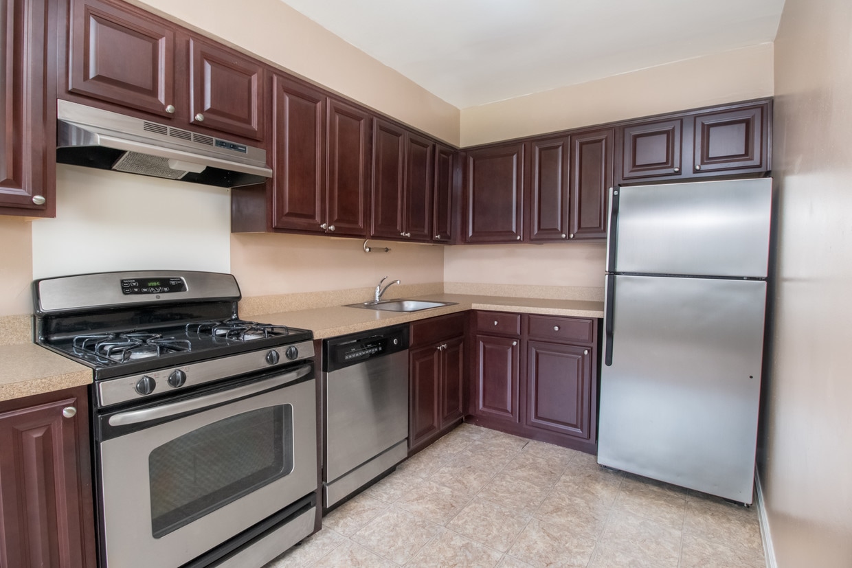
Unique Features
Air Conditioning
Dishwasher
High Speed Internet Access
Hardwood Floors
Adjacent to Trenton and bordering the Delaware River, Ewing is a large township that contains the College of New Jersey and the Trenton-Mercer Airport. The township began as part of Hopewell Township and was settled by colonists in 1699. The oldest building in Ewing is a farmhouse built in 1717 by William Green, one of the area's first settlers.
To get a sense of how the area must have looked to those early colonists, visit the West Branch of Shabakunk Creek, located near the airport. This natural area covers more than five miles and played a vital role in the Revolutionary War's Second Battle of Trenton. Another great location to visit after moving to a Ewing apartment is the Delaware and Raritan Canal State Park Trail, which extends along the river. The trail is 77 miles long and is popular for hiking, bicycling, jogging, and horseback riding.
Learn more about living in Ewing| Colleges & Universities | Distance | ||
|---|---|---|---|
| Colleges & Universities | Distance | ||
| Drive: | 13 min | 5.0 mi | |
| Drive: | 11 min | 5.9 mi | |
| Drive: | 15 min | 8.5 mi | |
| Drive: | 18 min | 10.0 mi |


Transportation options available in Ewing include Hamilton Avenue, located 6.5 miles from Scudder Falls East. Scudder Falls East is near Trenton Mercer, located 2.7 miles or 7 minutes away, and Philadelphia International, located 42.6 miles or 62 minutes away.
| Transit / Subway | Distance | ||
|---|---|---|---|
| Transit / Subway | Distance | ||
|
|
Drive: | 12 min | 6.5 mi |
| Drive: | 12 min | 6.5 mi | |
|
|
Drive: | 15 min | 7.9 mi |
|
|
Drive: | 22 min | 13.1 mi |
| Commuter Rail | Distance | ||
|---|---|---|---|
| Commuter Rail | Distance | ||
|
|
Drive: | 6 min | 2.5 mi |
|
|
Drive: | 9 min | 4.3 mi |
| Drive: | 12 min | 6.5 mi | |
|
|
Drive: | 14 min | 6.6 mi |
|
|
Drive: | 13 min | 7.9 mi |
| Airports | Distance | ||
|---|---|---|---|
| Airports | Distance | ||
|
Trenton Mercer
|
Drive: | 7 min | 2.7 mi |
|
Philadelphia International
|
Drive: | 62 min | 42.6 mi |
Time and distance from Scudder Falls East.
| Shopping Centers | Distance | ||
|---|---|---|---|
| Shopping Centers | Distance | ||
| Drive: | 5 min | 2.5 mi | |
| Drive: | 6 min | 2.5 mi | |
| Drive: | 6 min | 2.7 mi |
| Parks and Recreation | Distance | ||
|---|---|---|---|
| Parks and Recreation | Distance | ||
|
Washington Crossing State Park
|
Drive: | 11 min | 5.0 mi |
|
New Jersey State Museum Planetarium
|
Drive: | 9 min | 5.2 mi |
|
Simpson Observatory
|
Drive: | 14 min | 5.6 mi |
|
Drexel Woods Park
|
Drive: | 14 min | 7.5 mi |
|
Lawrence Nature Center
|
Drive: | 15 min | 7.5 mi |
| Hospitals | Distance | ||
|---|---|---|---|
| Hospitals | Distance | ||
| Drive: | 12 min | 6.3 mi | |
| Drive: | 12 min | 7.1 mi |
| Military Bases | Distance | ||
|---|---|---|---|
| Military Bases | Distance | ||
| Drive: | 31 min | 17.3 mi | |
| Drive: | 40 min | 26.1 mi |
Pets Allowed Pool In Unit Washer & Dryer Clubhouse Stainless Steel Appliances Laundry Facilities Tennis Court
What Are Walk Score®, Transit Score®, and Bike Score® Ratings?
Walk Score® measures the walkability of any address. Transit Score® measures access to public transit. Bike Score® measures the bikeability of any address.
What is a Sound Score Rating?
A Sound Score Rating aggregates noise caused by vehicle traffic, airplane traffic and local sources

325 W Upper Ferry Rd
Ewing, NJ 08628


")


