
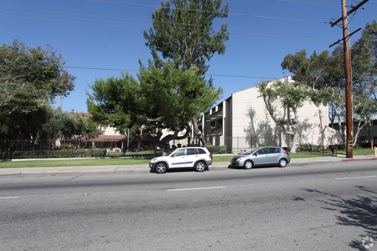
WOODSIDE VILLAGE
2547 Temple Ave,
West Covina, CA 91792
$2,035 - $2,643
Studio - 2 Beds
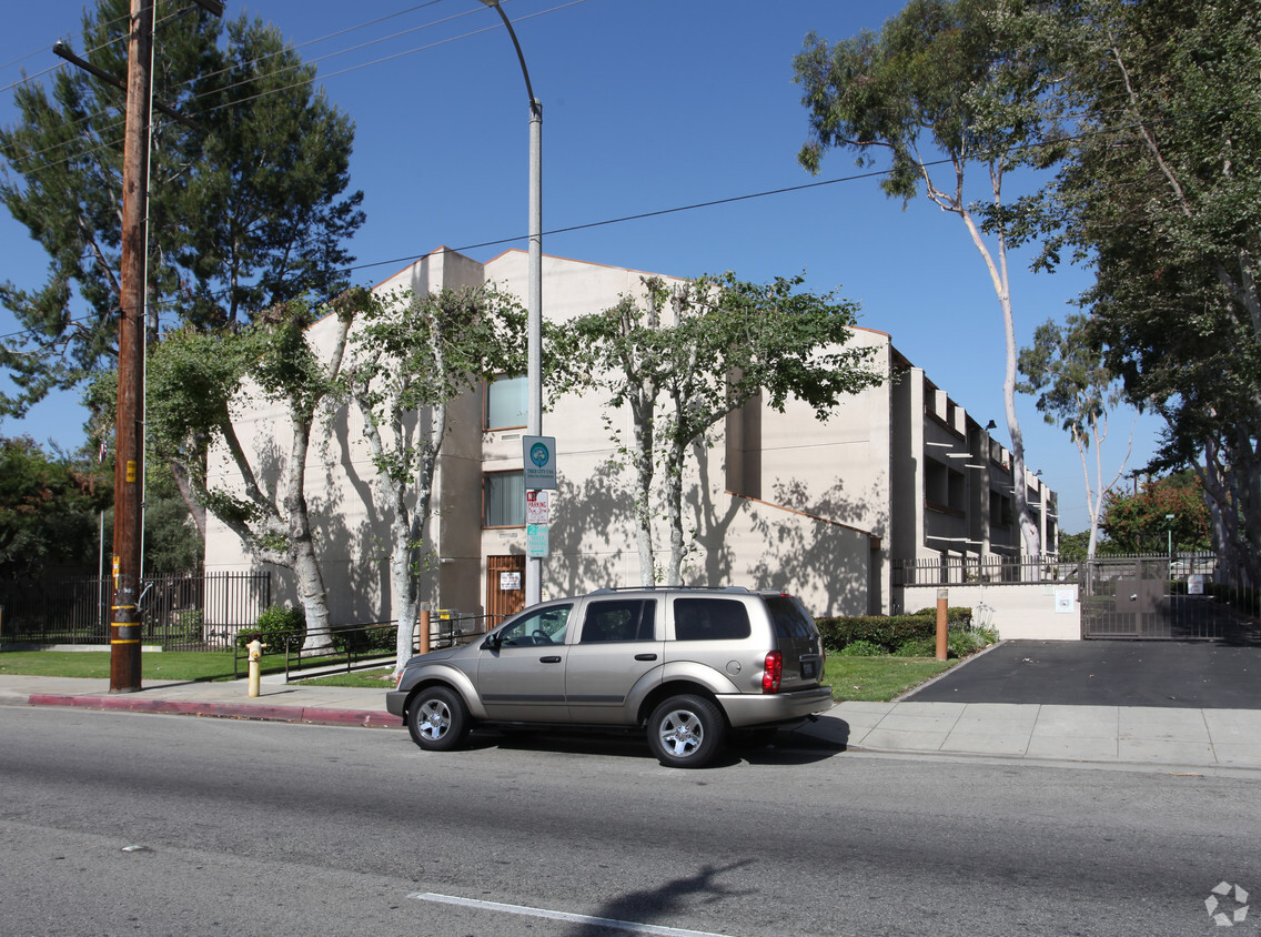
At Olive Tree Terrace in West Covina, experience great living. Schedule a time to see the available floorplan options. Olive Tree Terrace provides a variety of amenities including: high-speed internet access, balconies, and smoke free options. The professional leasing staff is waiting to show you all that this community has in store. Visit Olive Tree Terrace today.
Olive Tree Terrace is an apartment community located in Los Angeles County and the 91791 ZIP Code. This area is served by the Covina-Valley Unified attendance zone.
Covina-Valley is a large area south of Arrow Highway, about 20 miles east of Downtown Los Angeles. The town is densely populated with modern amenities and several businesses scattered throughout. Renters have a large rental market with a variety of apartments and spacious single-family homes to choose from. Warehouses, manufacturing plants, and offices are situated in the northwestern corner of town while shopping centers are located along the main thoroughfares. Although the neighborhood is accessible to the big city to the west, outdoor recreation is abundant in and around town. Santa Fe Dam Recreation Area is north of town while the San Jose Hills are nestled in the southern portion of town. More great features just outside of town include California State Polytechnic University, Mount San Antonio College, and Brackett Field Airport.
Learn more about living in Covina-ValleyCompare neighborhood and city base rent averages by bedroom.
| Covina-Valley | West Covina, CA | |
|---|---|---|
| Studio | $1,506 | $1,567 |
| 1 Bedroom | $1,875 | $1,992 |
| 2 Bedrooms | $2,372 | $2,453 |
| 3 Bedrooms | $2,957 | $2,959 |
| Colleges & Universities | Distance | ||
|---|---|---|---|
| Colleges & Universities | Distance | ||
| Drive: | 8 min | 4.5 mi | |
| Drive: | 9 min | 4.8 mi | |
| Drive: | 10 min | 6.2 mi | |
| Drive: | 11 min | 7.4 mi |


Transportation options available in West Covina include Azusa Downtown Station, located 3.8 miles from Olive Tree Terrace. Olive Tree Terrace is near Ontario International, located 20.2 miles or 26 minutes away, and Long Beach (Daugherty Field), located 29.6 miles or 39 minutes away.
| Transit / Subway | Distance | ||
|---|---|---|---|
| Transit / Subway | Distance | ||
| Drive: | 6 min | 3.8 mi | |
| Drive: | 9 min | 4.8 mi | |
| Drive: | 10 min | 4.9 mi | |
| Drive: | 12 min | 7.7 mi | |
| Drive: | 14 min | 9.2 mi |
| Commuter Rail | Distance | ||
|---|---|---|---|
| Commuter Rail | Distance | ||
|
|
Drive: | 4 min | 1.9 mi |
|
|
Drive: | 6 min | 3.3 mi |
|
|
Drive: | 12 min | 8.5 mi |
|
|
Drive: | 15 min | 8.7 mi |
|
|
Drive: | 16 min | 11.9 mi |
| Airports | Distance | ||
|---|---|---|---|
| Airports | Distance | ||
|
Ontario International
|
Drive: | 26 min | 20.2 mi |
|
Long Beach (Daugherty Field)
|
Drive: | 39 min | 29.6 mi |
Time and distance from Olive Tree Terrace.
| Shopping Centers | Distance | ||
|---|---|---|---|
| Shopping Centers | Distance | ||
| Walk: | 3 min | 0.2 mi | |
| Walk: | 4 min | 0.2 mi | |
| Walk: | 7 min | 0.4 mi |
| Parks and Recreation | Distance | ||
|---|---|---|---|
| Parks and Recreation | Distance | ||
|
Covina Park
|
Drive: | 2 min | 1.2 mi |
|
Galster Wilderness Park Nature Center
|
Drive: | 6 min | 3.2 mi |
|
Santa Fe Dam Recreation Area
|
Drive: | 16 min | 5.7 mi |
|
Santa Fe Dam Nature Center
|
Drive: | 16 min | 5.7 mi |
|
Frank G. Bonelli Regional Park
|
Drive: | 13 min | 8.3 mi |
| Hospitals | Distance | ||
|---|---|---|---|
| Hospitals | Distance | ||
| Drive: | 3 min | 1.4 mi | |
| Drive: | 5 min | 3.5 mi | |
| Drive: | 6 min | 3.6 mi |
| Military Bases | Distance | ||
|---|---|---|---|
| Military Bases | Distance | ||
| Drive: | 40 min | 31.6 mi |
What Are Walk Score®, Transit Score®, and Bike Score® Ratings?
Walk Score® measures the walkability of any address. Transit Score® measures access to public transit. Bike Score® measures the bikeability of any address.
What is a Sound Score Rating?
A Sound Score Rating aggregates noise caused by vehicle traffic, airplane traffic and local sources

721 Azusa Ave
West Covina, CA 91791


