
WOODSIDE VILLAGE
2547 Temple Ave,
West Covina, CA 91792
$1,999 - $2,731
Studio - 2 Beds
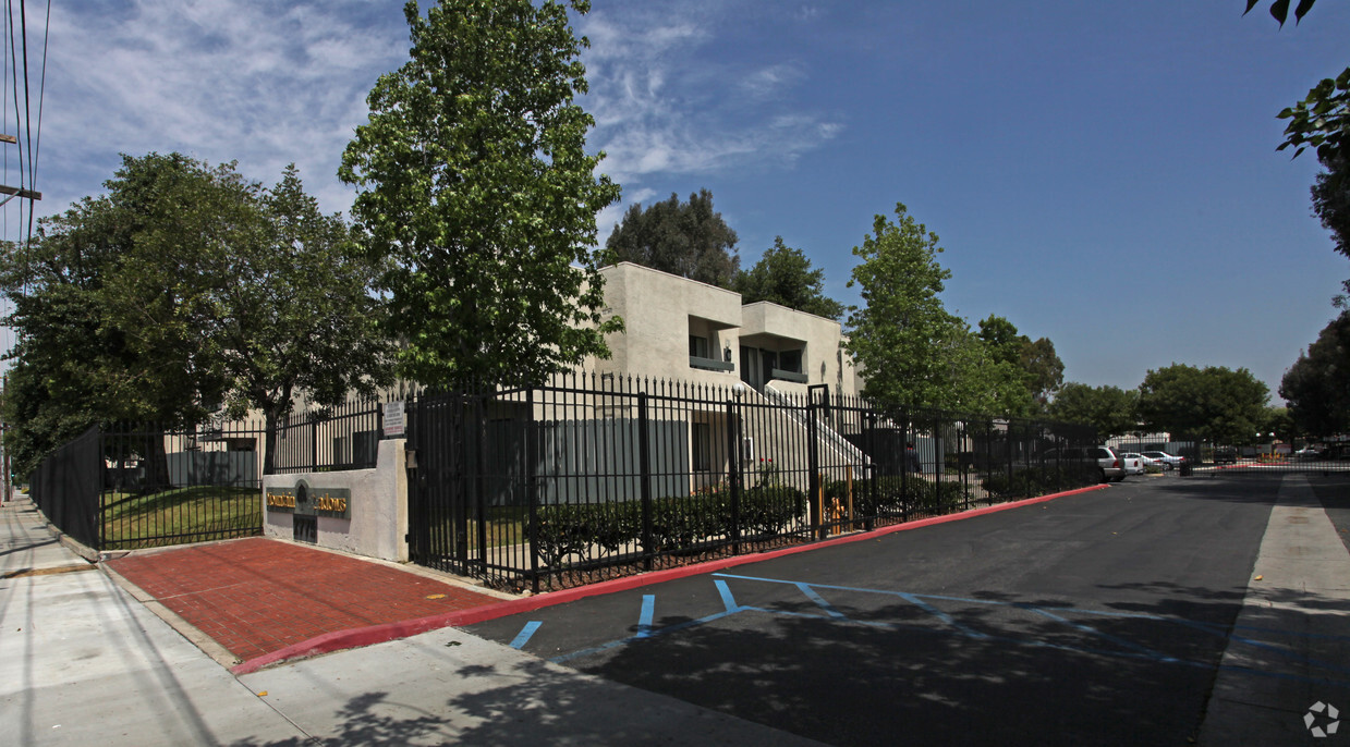
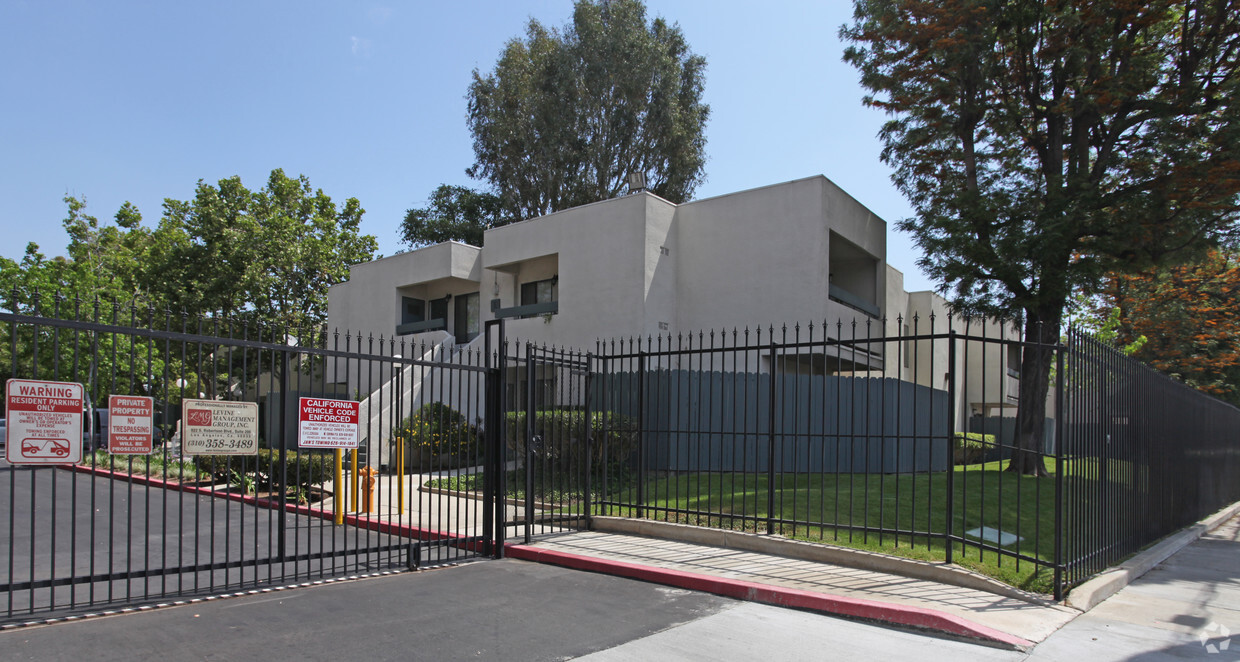
At Mountain Shadows in West Covina, CA, find your new home. This apartment community is located in West Covina at 2775 E. Valley Blvd in the 91792 area. Schedule a time to check out the current floorplan options. The leasing staff is waiting to show you all that this community has to offer. Drop by to check current floorplan availability.
Mountain Shadows is an apartment community located in Los Angeles County and the 91792 ZIP Code. This area is served by the Rowland Unified School District attendance zone.
High Speed Internet Access
Smoke Free
Heating
Kitchen
Located approximately 20 miles east of Los Angeles, Rowland is a small neighborhood in the City of Industry. This prosperous community sits at the south end of the San Gabriel Valley and offers a central location for commuters. With easy access to shopping and major roadways, Rowland serves its residents with plenty of convenience, while its parks and wilderness areas let you stay connected to California’s natural beauty. Residents enjoy the abundant entertainment options, including retailers, movie theaters, fitness centers, department stores, and restaurants, as well as outdoor options like Peter F. Schabarum Regional Park, a 575-acre park with tennis courts and beautiful nature trails.
Learn more about living in RowlandCompare neighborhood and city base rent averages by bedroom.
| Rowland | West Covina, CA | |
|---|---|---|
| Studio | $1,429 | $1,596 |
| 1 Bedroom | $1,989 | $2,040 |
| 2 Bedrooms | $2,392 | $2,459 |
| 3 Bedrooms | $2,812 | $3,059 |
| Colleges & Universities | Distance | ||
|---|---|---|---|
| Colleges & Universities | Distance | ||
| Drive: | 10 min | 5.8 mi | |
| Drive: | 14 min | 7.3 mi | |
| Drive: | 15 min | 7.8 mi | |
| Drive: | 19 min | 11.0 mi |


Transportation options available in West Covina include Azusa Downtown Station, located 11.3 miles from Mountain Shadows. Mountain Shadows is near Ontario International, located 21.0 miles or 28 minutes away, and Long Beach (Daugherty Field), located 30.3 miles or 40 minutes away.
| Transit / Subway | Distance | ||
|---|---|---|---|
| Transit / Subway | Distance | ||
| Drive: | 18 min | 11.3 mi | |
| Drive: | 22 min | 12.4 mi | |
| Drive: | 21 min | 12.5 mi |
| Commuter Rail | Distance | ||
|---|---|---|---|
| Commuter Rail | Distance | ||
|
|
Drive: | 6 min | 3.2 mi |
|
|
Drive: | 15 min | 9.3 mi |
|
|
Drive: | 17 min | 10.2 mi |
|
|
Drive: | 17 min | 10.5 mi |
|
|
Drive: | 21 min | 11.9 mi |
| Airports | Distance | ||
|---|---|---|---|
| Airports | Distance | ||
|
Ontario International
|
Drive: | 28 min | 21.0 mi |
|
Long Beach (Daugherty Field)
|
Drive: | 40 min | 30.3 mi |
Scores provided by
Traffic
BusyAirport
CalmBusinesses
ActiveScores provided by
HowLoud What is a Sound Score Rating? A Sound Score Rating aggregates noise caused by vehicle traffic, airplane traffic and local sources. How It WorksTime and distance from Mountain Shadows.
| Shopping Centers | Distance | ||
|---|---|---|---|
| Shopping Centers | Distance | ||
| Walk: | 6 min | 0.3 mi | |
| Walk: | 17 min | 0.9 mi | |
| Walk: | 17 min | 0.9 mi |
| Parks and Recreation | Distance | ||
|---|---|---|---|
| Parks and Recreation | Distance | ||
|
Schabarum Regional Park
|
Drive: | 10 min | 5.1 mi |
|
Galster Wilderness Park Nature Center
|
Drive: | 10 min | 5.8 mi |
|
La Habra Historical Museum
|
Drive: | 13 min | 7.5 mi |
|
Children's Museum at La Habra
|
Drive: | 14 min | 7.8 mi |
|
Covina Park
|
Drive: | 14 min | 8.6 mi |
| Hospitals | Distance | ||
|---|---|---|---|
| Hospitals | Distance | ||
| Drive: | 15 min | 7.2 mi | |
| Drive: | 15 min | 8.4 mi | |
| Drive: | 14 min | 8.9 mi |
| Military Bases | Distance | ||
|---|---|---|---|
| Military Bases | Distance | ||
| Drive: | 37 min | 21.7 mi |
Pets Allowed Fitness Center Dishwasher In Unit Washer & Dryer Stainless Steel Appliances Package Service Smoke Free
What Are Walk Score®, Transit Score®, and Bike Score® Ratings?
Walk Score® measures the walkability of any address. Transit Score® measures access to public transit. Bike Score® measures the bikeability of any address.
What is a Sound Score Rating?
A Sound Score Rating aggregates noise caused by vehicle traffic, airplane traffic and local sources.

2775 E Valley Blvd
West Covina, CA 91792


