
Quail Hollow Apartments
7451 Quail Hollow St NW,
Massillon, OH 44646
$845 - $885
1-2 Beds
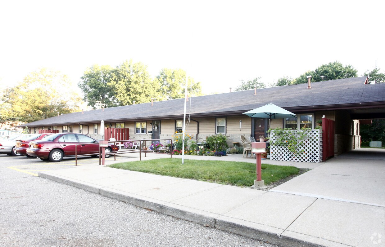
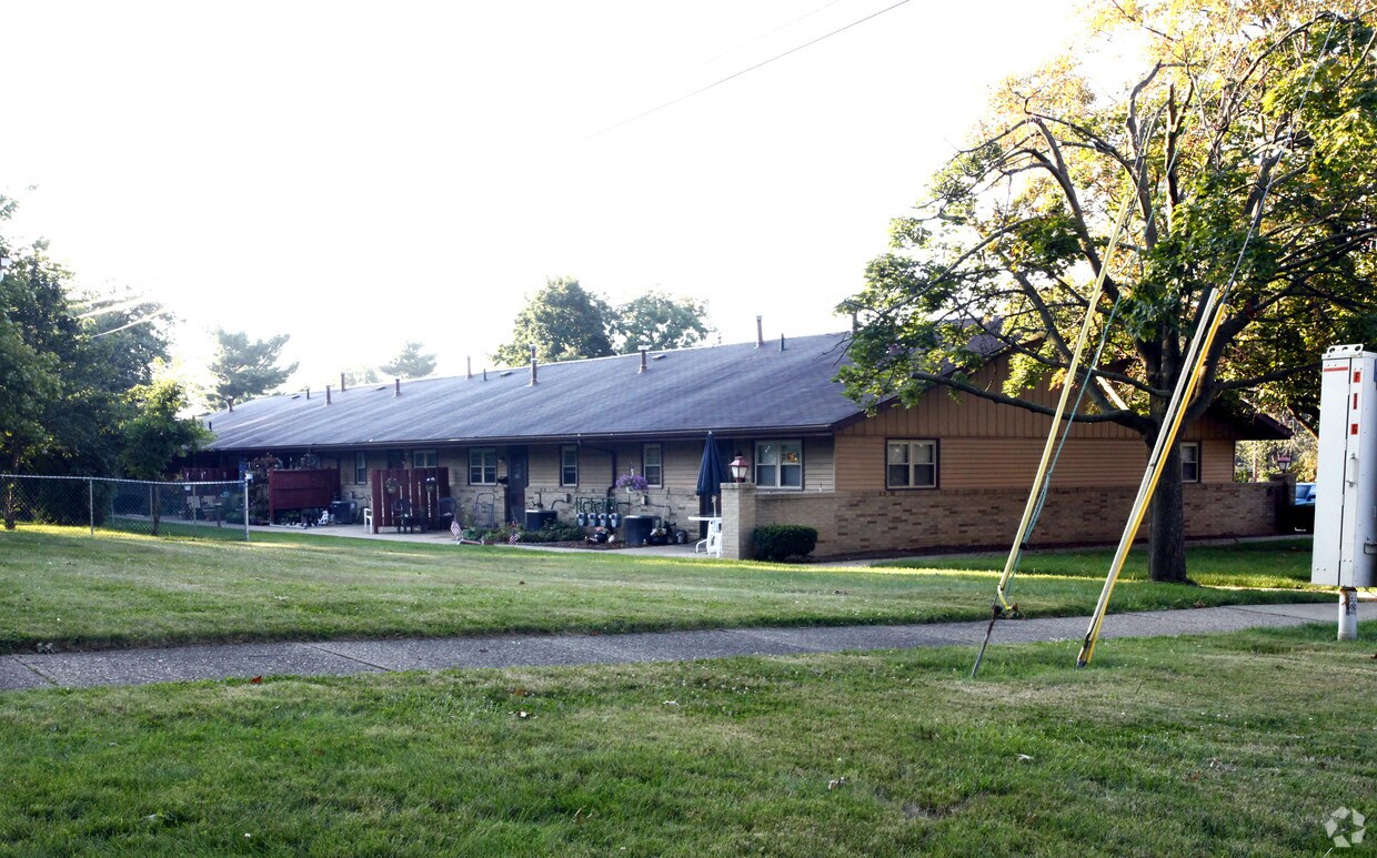
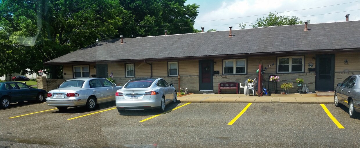
Discover your next home at Mayflower in Massillon, OH. Located at 424-426 Grosvenor Ave Nw in Massillon, this community has much to offer its residents. The leasing team is waiting to show you all that this community has in store. Come for a visit to check out the apartment floorplan options. At Mayflower you're new apartment awaits. Stop by the community today.
Mayflower is an apartment community located in Stark County and the 44647 ZIP Code. This area is served by the Massillon City School District attendance zone.
Refrigerator
Heating
Range
Kitchen
Massillon sits along the Tuscarawas River in western Stark County, about eight miles west of Canton and roughly 30 miles south of Akron, occupying a steady, grounded place in northeast Ohio's landscape. The city carries a strong sense of identity rooted in its industrial past and a high school football tradition that draws intense community pride each season at Paul Brown Tiger Stadium, named after the legendary coach who got his start here. Lincoln Way serves as the central commercial corridor, anchoring everyday life with local businesses, shops, and services within a walkable stretch of the historic downtown.
The surrounding area spans around 21 square miles, offering a range of neighborhoods from tree-lined residential streets near the river to quieter pockets on the city's edges. The Massillon Museum, free to the public, reflects the city's commitment to arts and local history.
Learn more about living in Massillon| Colleges & Universities | Distance | ||
|---|---|---|---|
| Colleges & Universities | Distance | ||
| Drive: | 21 min | 9.5 mi | |
| Drive: | 20 min | 9.9 mi | |
| Drive: | 27 min | 13.1 mi | |
| Drive: | 26 min | 14.9 mi |


Scores provided by
Traffic
ActiveAirport
CalmBusinesses
CalmScores provided by
HowLoud What is a Sound Score Rating? A Sound Score Rating aggregates noise caused by vehicle traffic, airplane traffic and local sources. How It WorksWhat Are Walk Score®, Transit Score®, and Bike Score® Ratings?
Walk Score® measures the walkability of any address. Transit Score® measures access to public transit. Bike Score® measures the bikeability of any address.
What is a Sound Score Rating?
A Sound Score Rating aggregates noise caused by vehicle traffic, airplane traffic and local sources.

424-426 Grosvenor Ave NW
Massillon, OH 44647


