Median Age
33 Years
Largest Age Group
15-24 Years
Approximately 18% of Residents
Under 20
29%
Over 65
13%
Avg Rent
$1,663
Population
50,013
Renter Mix
57% Rent
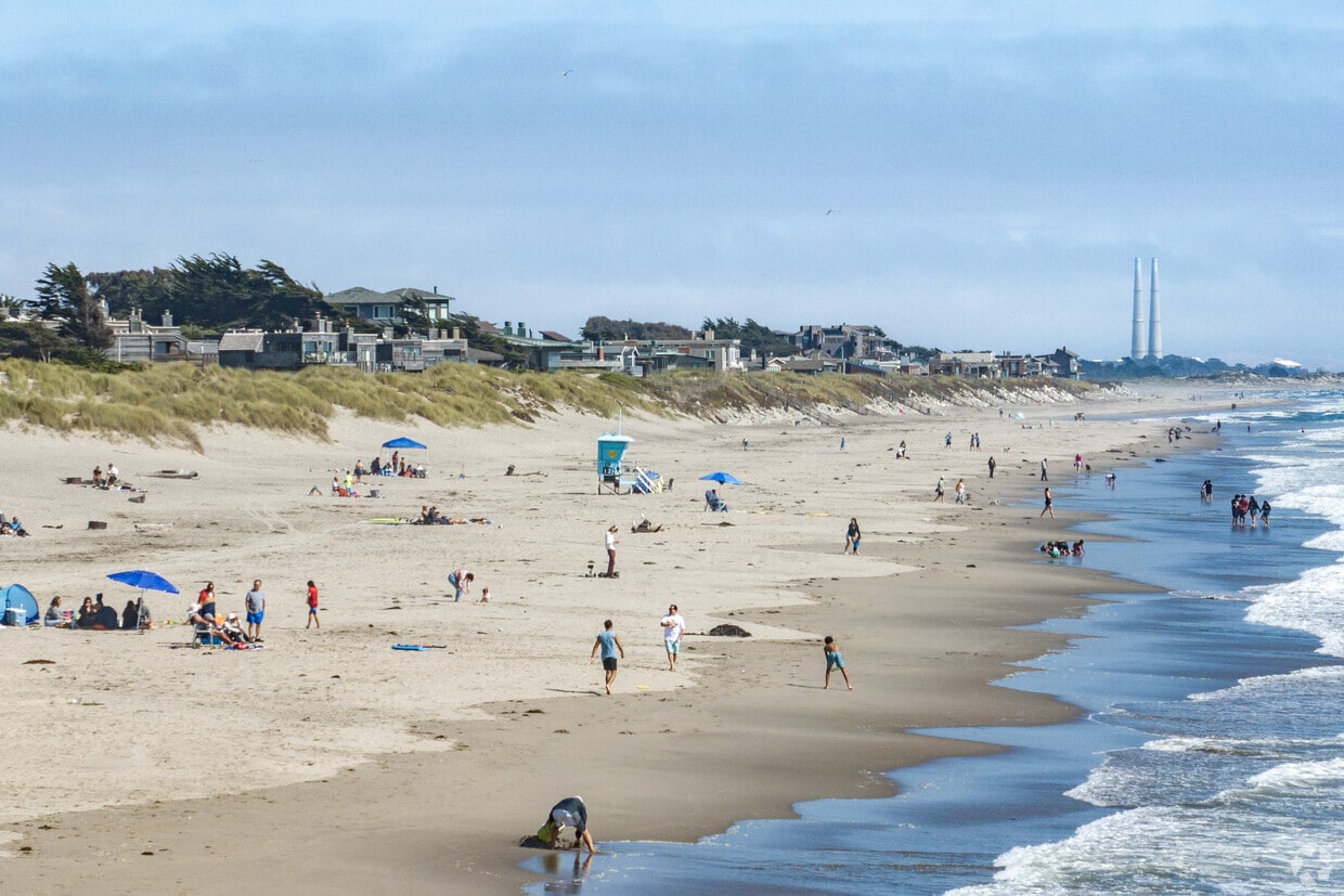
Watsonville sits at the southern end of Santa Cruz County, where the Pajaro Valley's agricultural fields stretch toward Monterey Bay and the everyday rhythm of life stays rooted in the land. The city has long anchored the region's strawberry and apple industries, earning a reputation as one of California's most productive farming communities. That agricultural identity shapes the city's character in real ways, from the well-attended weekly farmers market to the Santa Cruz County Fair, held here each September and drawing crowds from across the county. Watsonville is compact at roughly seven square miles, yet its downtown core, surrounding residential streets, and outlying areas each carry a distinct feel. Santa Cruz sits about 23 miles to the northwest and Monterey is a comparable drive south, giving residents access to two coastal cities without the price tags those markets carry. The housing stock leans toward single-family homes and smaller apartment communities, with a range of rental options spread across walkable neighborhoods near Main Street and quieter areas closer to the valley's edge. For those who want California coastal proximity, a genuine working-town atmosphere, and day-to-day affordability relative to surrounding markets, Watsonville offers a grounded and practical place to put down roots.
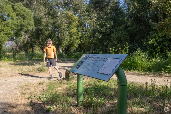
Bikers and hikers frequent the serene paths of Pajaro Creek Trail, San Francisco.
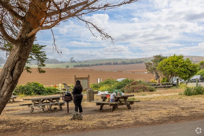
Enjoy a meal at the scenic picnic area in Sunset State Beach.
Median Household Income
$72,547
Average: $95,076
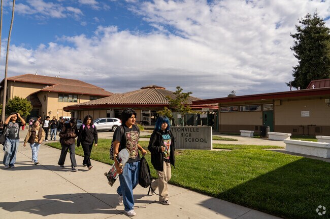
Education
4,874
Residents Have a Degree
Job Market
23,512
Workers Employed
Median Age
33 Years
Largest Age Group
15-24 Years
Approximately 18% of Residents
Under 20
29%
Over 65
13%
Housing Distribution
Watsonville has more renters than homeowners.

Education Distribution
Review this city's overall education levels.

As of August 2026, the average apartment rent in Watsonville, CA is $1,510 for a studio, $1,663 for one bedroom, $2,094 for two bedrooms, and $2,375 for three bedrooms. Apartment rent in Watsonville has decreased by -0.9% in the past year.
Explore how walkable, bikeable, drivable, and transit-friendly Watsonville, CA is for everyday living.
Somewhat Walkable
Walkability
Limited Public Transit
Transit
Exceptionally Drivable
Drivability
Somewhat Bikeable
Bikeability
Public
Grades K-8
258 Students

Public
Grades K-12
132 Students

Public
Grades K-8
626 Students

Public
Grades K-5
520 Students
Public
Grades K-5
520 Students
Public
Grades K-8
258 Students
Public
Grades K-12
132 Students
Public
Grades K-8
626 Students
Ceiba College Preparatory Academy
Public
Grades 6-12
501 Students
Watsonville Charter School Of The Arts
Public
Grades K-8
415 Students

Public
Grades 9-12
87 Students
Public
Grades K-12
132 Students
Ceiba College Preparatory Academy
Public
Grades 6-12
501 Students
Public
Grades 9-12
2,215 Students

Public
Grades 9-12
1,293 Students
† Our analysis of utilities, groceries, transportation, healthcare, home prices, and other goods and services is sourced from the Cost of Living Index, a respected benchmark published by the Council for Community and Economic Research (C2ER) that provides a thorough overview of living expenses across different regions.
Rent data is provided by CoStar Group’s Market Trend reports. As the industry leader in commercial real estate information, analytics, and news, CoStar conducts extensive research to produce and maintain a comprehensive database of commercial real estate information. We combine this data with public record to provide the most up-to-date rental information available.
Consumer goods, services, and home prices are sourced from the Cost of Living Index published by the Council for Community and Economic Research (C2ER). The data on this page is updated quarterly. It was last published in June 2026.
Demographic information comes from Neustar and combines detailed address data with U.S. Census and American Community Survey statistics to produce reliable local estimates.


