Median Age
37 Years
Largest Age Group
30-39 Years
Approximately 15% of Residents
Under 20
26%
Over 65
14%
Avg Rent
$1,068
Population
54,566
Renter Mix
49% Rent
Just 7 miles west of Downtown Philadelphia, Upper Darby Township is a dense, walkable community where residents move easily between local restaurants, shops along Garrett Road, and green spaces -- all while staying connected to one of the country's largest metro areas. Popular destinations include the 69th Street corridor, the Beverly Hills Recreation Area, and Cobbs Creek Park.
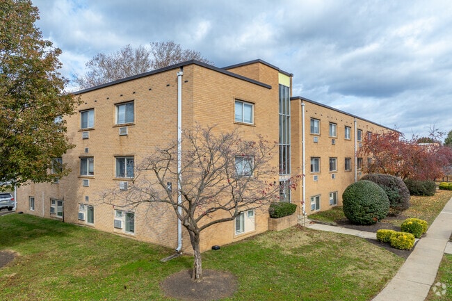
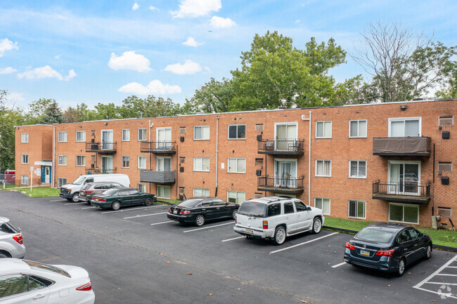
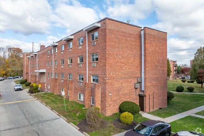
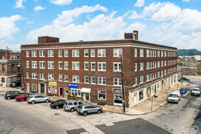
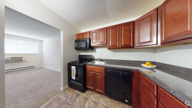
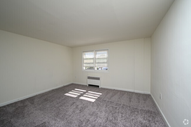
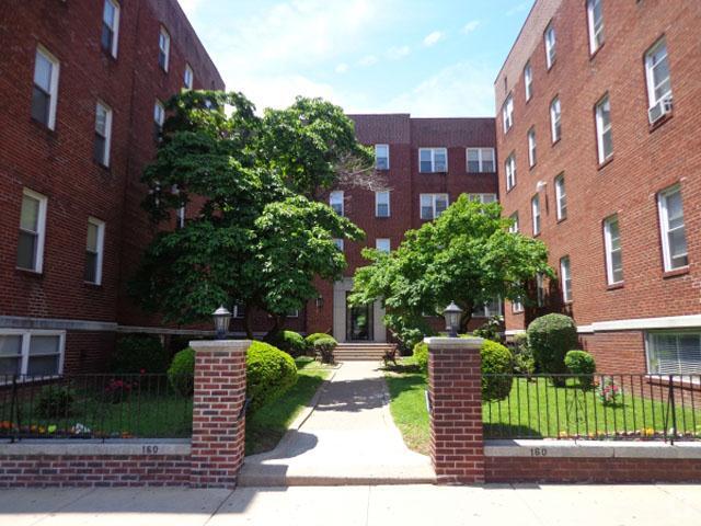
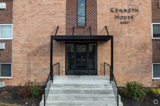
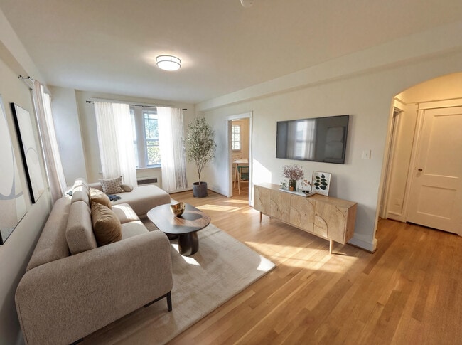
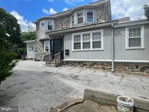
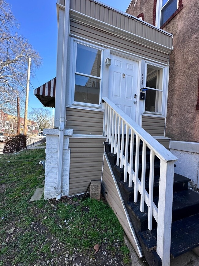
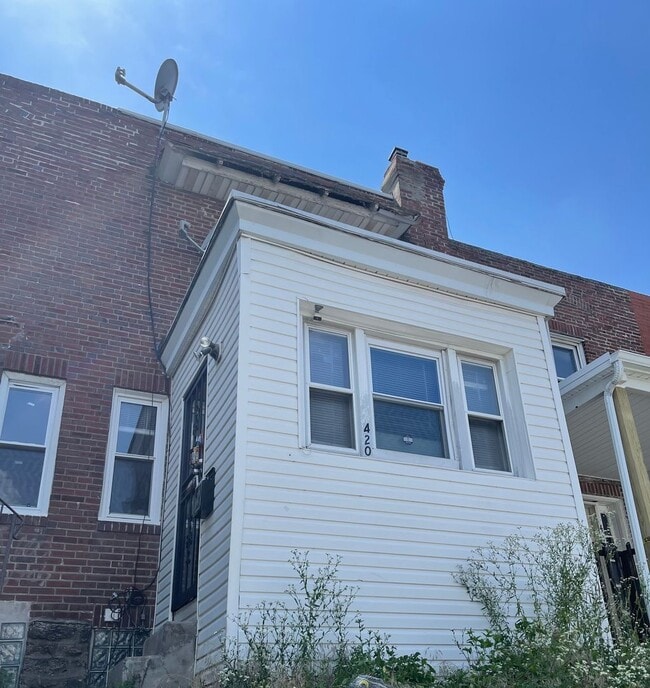
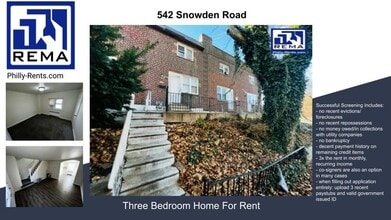
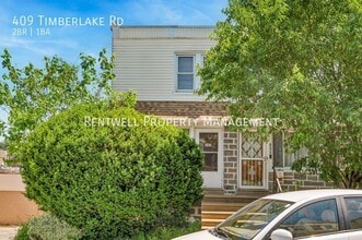
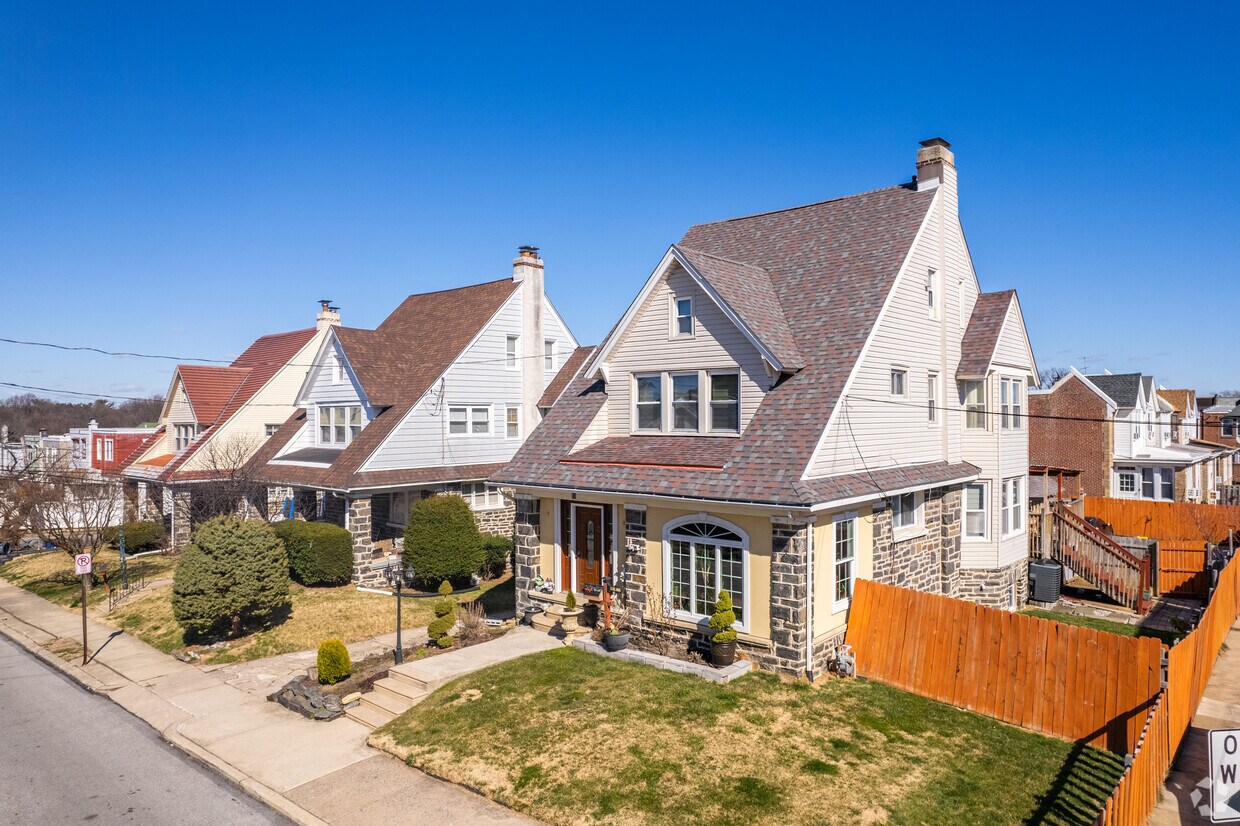
The rental landscape leans heavily toward brick and stone row houses, apartment communities, and twin duplexes built in the early 1900s, with Tudor-Revival townhouses rounding out the southern end of the township. Apartment communities and standalone rentals cover a range of sizes, and the area's architectural character gives every neighborhood a grounded, established feel.
Tina Fey, Todd Rundgren, and Jim Croce all came up here -- a point of local pride enshrined in the Upper Darby High School Wall of Fame. With one of Pennsylvania's largest school districts and a transit hub that ranks as the second busiest SEPTA transfer point in the region, this township has a lot of draw.
Median Household Income
$56,073
Average: $75,534
Education
12,587
Residents Have a Degree
Job Market
29,104
Workers Employed
Median Age
37 Years
Largest Age Group
30-39 Years
Approximately 15% of Residents
Under 20
26%
Over 65
14%
Housing Distribution
In Upper Darby Township, there are roughly the same number of renters and homeowners.

Education Distribution
Review this city's overall education levels.

As of September 2026, the average apartment rent in Upper Darby Township, PA is $905 for a studio, $1,070 for one bedroom, $1,345 for two bedrooms, and $1,699 for three bedrooms. Apartment rent in Upper Darby Township has increased by 2.3% in the past year.
Explore how walkable, bikeable, drivable, and transit-friendly Upper Darby Township, PA is for everyday living.
Very Walkable
Walkability
Good Public Transit
Transit
Somewhat Drivable
Drivability
Fairly Bikeable
Bikeability

† Our analysis of utilities, groceries, transportation, healthcare, home prices, and other goods and services is sourced from the Cost of Living Index, a respected benchmark published by the Council for Community and Economic Research (C2ER) that provides a thorough overview of living expenses across different regions.
Rent data is provided by CoStar Group’s Market Trend reports. As the industry leader in commercial real estate information, analytics, and news, CoStar conducts extensive research to produce and maintain a comprehensive database of commercial real estate information. We combine this data with public record to provide the most up-to-date rental information available.
Consumer goods, services, and home prices are sourced from the Cost of Living Index published by the Council for Community and Economic Research (C2ER). The data on this page is updated quarterly. It was last published in September 2026.
Demographic information comes from Neustar and combines detailed address data with U.S. Census and American Community Survey statistics to produce reliable local estimates.