Median Age
40 Years
Largest Age Group
30-39 Years
Approximately 15% of Residents
Under 20
23%
Over 65
18%
Area Guide
Avg Rent
$934
Population
46,240
Renter Mix
36% Rent
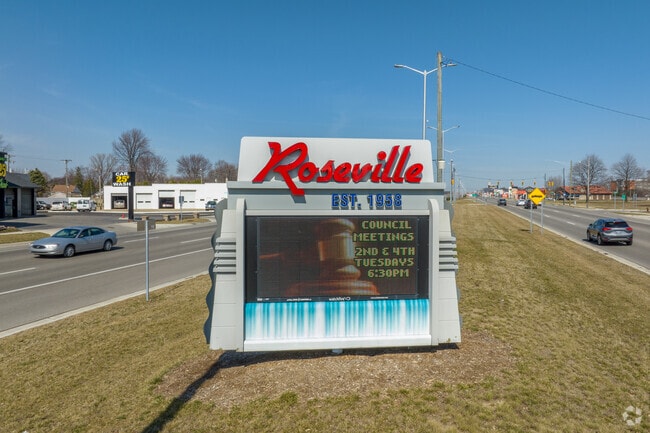
Sitting about 16 miles northeast of Detroit, Roseville is a compact Macomb County suburb that offers straightforward access to one of the Midwest's great cities without the big-city price tag. Incorporated as a city in 1958, it grew alongside Michigan's automotive industry and still carries that working-class, no-nonsense character today. The city spans just 10 square miles, so most daily needs are within easy reach along Gratiot Avenue and Groesbeck Highway, the two main commercial corridors that run through town. Macomb Mall, one of the earliest regional shopping centers in the area, has anchored the western edge of the city since 1964. Renters will find a solid mix of garden-style apartment communities, ranch-style rental homes, and smaller multi-unit buildings spread across quiet residential streets. The housing stock tends toward the practical and the affordable compared to many Detroit-area suburbs. Interstate 696 and I-94 put downtown Detroit, Warren, and Saint Clair Shores within a short commute, making Roseville a sensible base for anyone working across Macomb or Wayne counties. The Roseville Public Library even preserves the original toll sign from historic Gratiot Avenue, a small but telling reminder of how long this corridor has connected communities across the region.
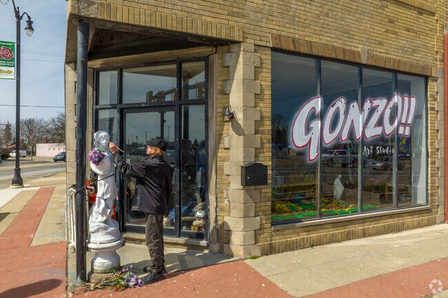
Gonzo!! Art Studio is a prominent fixture in Roseville.
Gratiot and Groesbeck are two main roads running through Roseville.
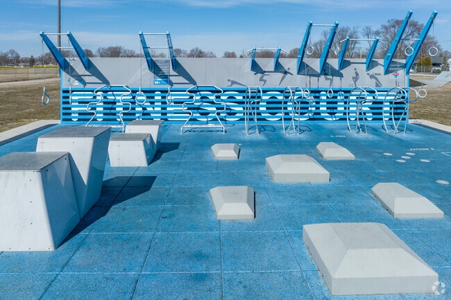
Fitness court at Huron Park on Frazho Road.
Several industrial buildings are located along Groesbeck Highway.
Gratiot Avenue runs through Roseville to downtown Detroit.
Asymmetrically front-gabled homes make up a large percentage of Roseville homes.
Median Household Income
$53,177
Average: $65,467
Education
6,453
Residents Have a Degree
Job Market
23,025
Workers Employed
Median Age
40 Years
Largest Age Group
30-39 Years
Approximately 15% of Residents
Under 20
23%
Over 65
18%
Housing Distribution
Roseville has more homeowners than renters.

Education Distribution
Review this city's overall education levels.

As of July 2026, the average apartment rent in Roseville, MI is $804 for a studio, $934 for one bedroom, $1,167 for two bedrooms, and $1,728 for three bedrooms. Apartment rent in Roseville has increased by 1.7% in the past year.
Explore how walkable, bikeable, drivable, and transit-friendly Roseville, MI is for everyday living.
Moderately Walkable
Walkability
Limited Public Transit
Transit
Exceptionally Drivable
Drivability
Fairly Bikeable
Bikeability
Public
Grades PK-5
200 Students

Public
Grades PK-5
320 Students

John R. Kment Elementary School
Public
Grades K-5
272 Students
Public
Grades K-8
580 Students

Joseph G. Steenland Elementary School
Public
Grades K-5
329 Students
Public
Grades K-8
580 Students
Public
Grades 6-8
337 Students
Public
Grades 6-8
563 Students

Public
Grades 9-12
1,269 Students
Public
Grades 9-12
25 Students

† Our analysis of utilities, groceries, transportation, healthcare, home prices, and other goods and services is sourced from the Cost of Living Index, a respected benchmark published by the Council for Community and Economic Research (C2ER) that provides a thorough overview of living expenses across different regions.
Rent data is provided by CoStar Group’s Market Trend reports. As the industry leader in commercial real estate information, analytics, and news, CoStar conducts extensive research to produce and maintain a comprehensive database of commercial real estate information. We combine this data with public record to provide the most up-to-date rental information available.
Consumer goods, services, and home prices are sourced from the Cost of Living Index published by the Council for Community and Economic Research (C2ER). The data on this page is updated quarterly. It was last published in June 2026.
Demographic information comes from Neustar and combines detailed address data with U.S. Census and American Community Survey statistics to produce reliable local estimates.


