Median Age
32 Years
Largest Age Group
25-34 Years
Approximately 18% of Residents
Under 20
30%
Over 65
10%
Avg Rent
$835
Population
11,078
Renter Mix
53% Rent
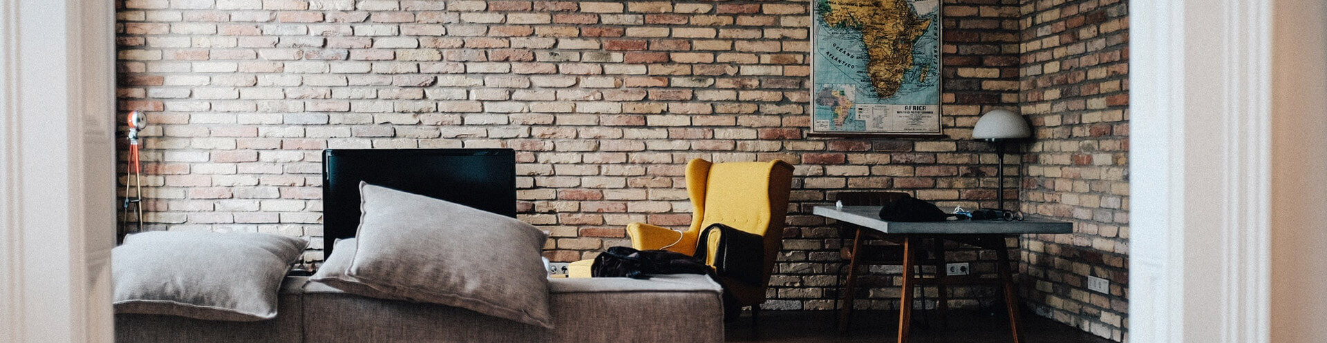
Saint Robert, Missouri sits in the heart of the Ozarks and is bordered on two sides by Fort Leonard Wood, a U.S. Army installation that has been in operation since 1940 and serves as home to the Army Maneuver Support Center of Excellence. That strong military presence shapes the character of the community and drives consistent demand for housing in the area. Those searching for apartments for rent in Saint Robert will find a city that supports an active, outdoor lifestyle with access to parks, trails, and recreational amenities throughout the year.
Renters in Saint Robert can choose from a range of housing options, including garden-style apartment communities, townhomes, and single-family houses available for lease. Shopping is convenient, with retail districts along Old Route 66 and Missouri Avenue, plus nearby centers like Hidden Valley Plaza and a Walmart Supercenter just minutes away. Residents enjoy the Tiger Typhoon Aquatic Center, which features water slides, a zero-depth splash area, lap lanes, and a rock climbing wall. The Saint Robert Golf Course adds another local recreational draw, and the Fort Leonard Wood Farmers Market gives residents a regular spot to pick up fresh local goods.
I-44 runs directly through Saint Robert, making it easy to reach Springfield in about an hour and St. Louis in roughly two hours. Fort Leonard Wood is the area's largest employer, and Missouri University of Science and Technology is located about 34 minutes away, offering additional employment and educational connections. With affordable rents, practical amenities, and a steady community rooted in military service, Saint Robert is a solid option for those looking to put down roots in the Missouri Ozarks.
Median Household Income
$60,293
Average: $77,082
Education
3,366
Residents Have a Degree
Job Market
4,406
Workers Employed
Median Age
32 Years
Largest Age Group
25-34 Years
Approximately 18% of Residents
Under 20
30%
Over 65
10%
Housing Distribution
Saint Robert has more renters than homeowners.

Education Distribution
Review this city's overall education levels.

As of July 2026, the average apartment rent in Saint Robert, MO is $546 for a studio, $835 for one bedroom, $914 for two bedrooms, and $1,042 for three bedrooms. Apartment rent in Saint Robert has increased by 0.7% in the past year.
Explore how walkable, bikeable, drivable, and transit-friendly Saint Robert, MO is for everyday living.
Somewhat Walkable
Walkability
Exceptionally Drivable
Drivability
Fairly Bikeable
Bikeability
Public
Grades K-5
961 Students

Public
Grades K-5
954 Students
† Our analysis of utilities, groceries, transportation, healthcare, home prices, and other goods and services is sourced from the Cost of Living Index, a respected benchmark published by the Council for Community and Economic Research (C2ER) that provides a thorough overview of living expenses across different regions.
Rent data is provided by CoStar Group’s Market Trend reports. As the industry leader in commercial real estate information, analytics, and news, CoStar conducts extensive research to produce and maintain a comprehensive database of commercial real estate information. We combine this data with public record to provide the most up-to-date rental information available.
Consumer goods, services, and home prices are sourced from the Cost of Living Index published by the Council for Community and Economic Research (C2ER). The data on this page is updated quarterly. It was last published in June 2026.
Demographic information comes from Neustar and combines detailed address data with U.S. Census and American Community Survey statistics to produce reliable local estimates.


