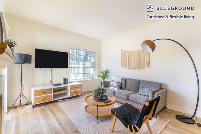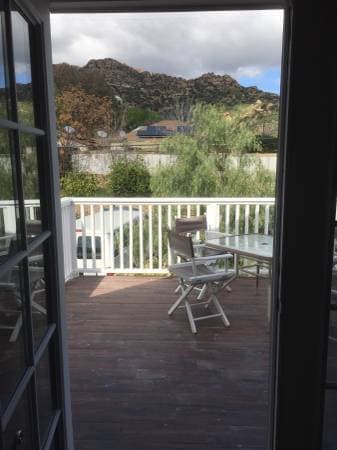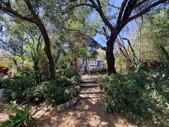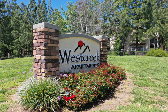
Westcreek Apartments
973-986 Westcreek Ln,
Westlake Village, CA 91362
$2,973 - $3,760 Total Monthly Price
1-2 Beds

Area Guide
Oak Park's Broadway corridor stands out as Sacramento's most concentrated example of a legacy commercial strip finding new life -- anchored by the restored Guild Theater and the UC Davis Medical Center campus right next door. Bounded roughly by Broadway to the north, Stockton Boulevard to the east, and the rail corridor to the west, Oak Park puts you just southeast of downtown with light rail access and the nearby Sacramento International Airport.
As of September 2026, the average apartment rent in Oak Park is $2,500 for one bedroom, and $2,920 for two bedrooms. Apartment rent in Oak Park has decreased by -4.0% in the past year.
1 BR
746 sq ft
Average Sq Ft
$2,500/month
Average Rent
2 BR
1,031 sq ft
Average Sq Ft
$2,920/month
Average Rent
Explore how walkable, bikeable, drivable, and transit-friendly Oak Park - Sacramento, CA is for everyday living.
Exceptionally Drivable
Drivability
Fairly Bikeable
Bikeability
Essentials are more spread out in Oak Park - Sacramento, CA, so everyday errands require more planning.
No Supermarkets Within a 30 Minute Walk
Groceries
Limited Restaurant Variety Nearby
Restaurants
Few to No Café Options Nearby
Cafes
Limited Variety of Shops Nearby
Shopping
Get a sense of what it’s like to live in Oak Park - Sacramento, CA from everyday activity to noise and nightlife.
Limited Nightlife Variety Nearby
Nightlife
Not Noisy
Quiet Score

† Our analysis of utilities, groceries, transportation, healthcare, home prices, and other goods and services is sourced from the Cost of Living Index, a respected benchmark published by the Council for Community and Economic Research (C2ER) that provides a thorough overview of living expenses across different regions.
Rent data is provided by CoStar Group’s Market Trend reports. As the industry leader in commercial real estate information, analytics, and news, CoStar conducts extensive research to produce and maintain a comprehensive database of commercial real estate information. We combine this data with public record to provide the most up-to-date rental information available.
Consumer goods, services, and home prices are sourced from the Cost of Living Index published by the Council for Community and Economic Research (C2ER). The data on this page is updated quarterly. It was last published in September 2026.
Demographic information comes from Neustar and combines detailed address data with U.S. Census and American Community Survey statistics to produce reliable local estimates.