Maplewood

Background Image

Maplewood, MO Area Guide

Avg Rent

$981

Population

8,250

Renter Mix

60% Rent

Delight in small-town comfort with metropolitan access

Suburban Vibrant Convenient Historic Commuter

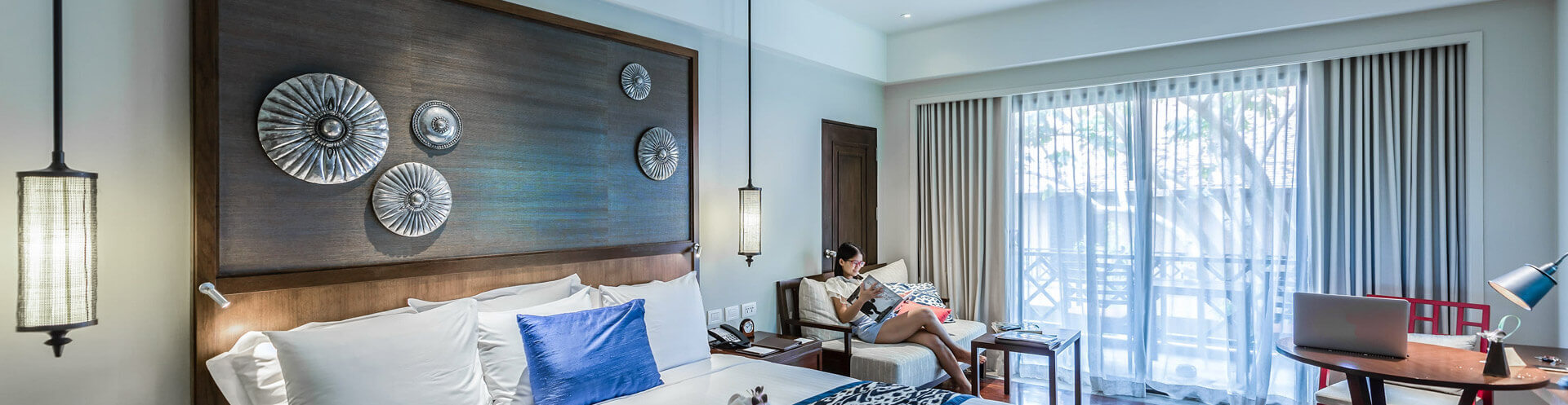
Maplewood is a compact inner-ring suburb of St. Louis, covering just two square miles in St. Louis County yet packing in a lot of character for its size. Established around the turn of the 20th century as a streetcar suburb, it retains much of its original residential fabric, with well-preserved homes from the 1900s lining tree-shaded streets. The city sits roughly eight miles west of downtown St. Louis, giving residents straightforward access to the broader metro's job market, cultural institutions, and entertainment without the pace of urban living. Manchester Road serves as the commercial spine, anchored by independent businesses, local breweries like Schlafly Bottleworks, and a walkable stretch of storefronts that give the area a grounded, neighborhood-scale energy. Forest Park and Tower Grove Park are a short drive away, and the Brentwood MetroLink station connects commuters to the wider region. The rental market here skews toward smaller apartment communities and flats within converted historic buildings, alongside a stock of vintage single-family rentals. Studios and one- and two-bedroom units make up the bulk of available rentals, appealing to those who want proximity to St. Louis without paying downtown prices. Maplewood's modest footprint and walkable core make it one of the more approachable close-in suburbs the St. Louis area offers.

Explore the City

Demographics

Median Household Income

$54,127

Average: $74,715

Education

3,486

Residents Have a Degree

Job Market

5,289

Workers Employed

Age Distribution
Get a sense of this area's population profile.

Median Age

37 Years

Largest Age Group

30-39 Years

Approximately 21% of Residents

Under 20

22%

Over 65

13%

Housing Distribution

Maplewood has more renters than homeowners.

Renters
60%
Non-Renters
40%

Education Distribution

Review this city's overall education levels.

Bachelor's or Higher
36%
Other Education
64%

Rent Trends

As of May 2026, the average apartment rent in Maplewood, MO is $1,302 for a studio, $981 for one bedroom, and $1,356 for two bedrooms. Apartment rent in Maplewood has increased by 1.4% in the past year.

Property Type
Average Rent
Average Sq Ft
Apartment
$981/month
589 Sq Ft
House
$1,798/month
1,137 Sq Ft
See Rental Market Trends in Maplewood, MO

Getting Around

Moderately Walkable

Walkability

70 / 100

Some Public Transit

Transit

50 / 100

Very Drivable

Drivability

80 / 100

Fairly Bikeable

Bikeability

50 / 100

Schools

Mrh Early Childhood Center

Public

Grades PK-5

460 Students

MRH Middle

Public

Grades 6-8

220 Students

MRH Middle School

Public

Grades 6-8

220 Students

Maplewood-Richmond Heights High School

Public

Grades 9-12

413 Students

Points of Interest

Parks and Recreation

  • Tilles Park
  • Saint Louis Zoo
  • St. Louis Science Center
  • Willmore Park
  • Missouri Botanical Garden

Airports

  • St Louis Lambert International
  • Scott AFB/Midamerica St Louis

Top Apartments in Maplewood

Houses for Rent in Maplewood

Living in Maplewood

History

-

Maplewood grew at the turn of the 20th century as a streetcar suburb, marketed to St. Louis residents seeking cleaner air beyond the city's coal-sooty limits. Its location at the end of a streetcar line and proximity to major rail corridors made it a popular bedroom community. Most of the residential core was built between 1900 and 1910, and many of those original homes remain along tree-lined streets, preserving the architectural character of the early suburban development. The St. Louis Museum of Transportation sits in Maplewood, documenting the role of streetcars and railroads in shaping the area's growth and offering a window into the transportation networks that made these early suburbs possible. Manchester Road, the commercial spine that connected Maplewood to St. Louis, continues to anchor the neighborhood today with its historic storefronts now home to local shops, breweries, and restaurants. The built environment reflects the era when Maplewood served as one of the region's first outward expansions, and much of that original fabric remains visible and intact.

Restaurants

-

Maplewood's dining scene is anchored along Manchester Road, where locally owned restaurants occupy historic storefronts and give the corridor a distinct neighborhood character. The mix leans independent and eclectic, with Cuban cuisine, American pub fare, and artisan baking all represented within a compact stretch. Schlafly Bottleworks, a long-standing St. Louis craft brewery, anchors the food and drink culture here with a menu built around its house-brewed beers. A weekly farmers market in the Bottleworks parking lot draws vendors selling fresh produce, handmade cheeses, breads, and baked goods on Wednesday evenings, making it a reliable spot for residents to connect with local food producers throughout the warmer months.

Transportation

-

Maplewood sits about eight miles west of downtown St. Louis, and residents rely heavily on the car for daily travel. Manchester Road is the main commercial corridor running through the city, while Interstate 44 and Interstate 64/40 provide quick connections to St. Louis, Clayton, and the broader metro area. Interstate 170 is also nearby for north-south travel. For those who prefer public transit, MetroBus serves Maplewood with several stops along Manchester Avenue, and the MetroLink light rail Brentwood I-170 Station sits just at the edge of the city, offering train access into downtown St. Louis and St. Louis Lambert International Airport without a car. The compact two-square-mile layout means many daily errands and neighborhood destinations are within walking or biking distance for those living near Manchester Avenue.

Parks

-

Maplewood has several neighborhood parks well suited to everyday outdoor life. Deer Creek Park on Laclede Station Road is the largest, spanning more than 11 acres with soccer and baseball fields, playgrounds, barbecue grills, and open lawn. Kellogg Park offers a playground and connects directly to the Maplewood Dog Park, giving pet owners a dedicated off-leash space. Central Park on Elm Avenue provides a relaxed spot with a playground and picnic tables. Residents looking for a larger green escape are well positioned here, as Forest Park and Tower Grove Park — two of St. Louis's most expansive urban parks — are only a short drive away, with trails, open meadows, and the Saint Louis Zoo within easy reach.

Cost

-

Maplewood offers a notably affordable rental market relative to many urban areas, with one-bedroom apartments averaging around $979 per month and two-bedroom units averaging approximately $1,351. Studios trend slightly higher on a per-unit basis at around $1,324. Rents have remained relatively stable, with modest year-over-year increases across available unit sizes. The median household income in Maplewood sits at roughly $54,000, and with a population of about 8,250 spread across just two square miles, the city maintains a compact, walkable character. Compared to nearby Webster Groves, where one-bedroom rents run considerably higher, Maplewood positions itself as a more budget-accessible option within the St. Louis inner-ring suburb corridor.

Shopping

-

Manchester Road serves as the heart of Maplewood's retail scene, where locally owned shops occupy historic storefronts along a walkable commercial strip that gives the area a genuine neighborhood character. The corridor draws browsers looking for specialty goods alongside everyday needs, and the mix of independent businesses has kept the street active and distinct. Beyond Manchester Road, residents have easy access to larger retail options at Maplewood Commons and the Promenade at Brentwood, as well as the Saint Louis Galleria nearby. On Wednesday evenings, the Maplewood Farmers Market sets up in the Schlafly Bottleworks parking lot, offering fresh produce, handmade foods, and locally crafted goods from area vendors.

Search Nearby Rentals

Methodology

† Our analysis of utilities, groceries, transportation, healthcare, home prices, and other goods and services is sourced from the Cost of Living Index, a respected benchmark published by the Council for Community and Economic Research (C2ER) that provides a thorough overview of living expenses across different regions.

Rent data is provided by CoStar Group’s Market Trend reports. As the industry leader in commercial real estate information, analytics, and news, CoStar conducts extensive research to produce and maintain a comprehensive database of commercial real estate information. We combine this data with public record to provide the most up-to-date rental information available.

Consumer goods, services, and home prices are sourced from the Cost of Living Index published by the Council for Community and Economic Research (C2ER). The data on this page is updated quarterly. It was last published in February 2026.

Demographic information comes from Neustar and combines detailed address data with U.S. Census and American Community Survey statistics to produce reliable local estimates.