Median Age
33 Years
Largest Age Group
10-19 Years
Approximately 18% of Residents
Under 20
31%
Over 65
12%

Avg Rent
$850
Population
51,642
Renter Mix
39% Rent
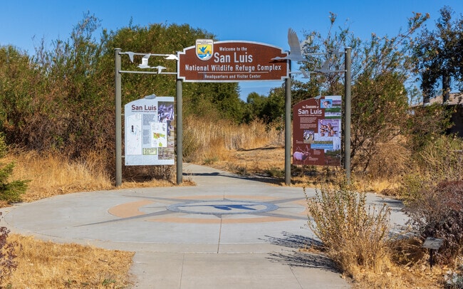
Los Banos is a growing city in Merced County, located on the west side of California's San Joaquin Valley near the junction of State Route 152 and Interstate 5. The city takes its name from a natural spring that feeds local wetlands, and its agricultural roots still shape daily life today. Renters searching for apartments in Los Banos will find a smaller, more affordable alternative to California's larger metro areas, with a population of around 51,000 and a genuine community feel that's hard to come by in the state. Apartment options in Los Banos include garden-style communities that fit the city's open, low-density character. The historic downtown area has local dining and shops, while nearby retail centers like the Canal Farm Shopping Center and Save Mart Center keep everyday errands simple. Outdoor access is a real draw here: the San Luis National Wildlife Refuge is just a few miles out, and Los Banos Creek Reservoir and Pacheco State Park offer 28 miles of trails and easy access to the San Luis Reservoir. Community events like the Merced County Spring Fair and the annual Tomato Festival give the city its local personality. Getting around is easy, with Interstate 5 to the west and State Routes 152 and 165 running through town, a practical setup for commuters heading to nearby cities. Merced is about 30 miles to the northeast, and both San Francisco and Sacramento are within a two-hour drive. Merced College also maintains a campus in Los Banos, adding an educational presence to the community. If you're after Central California living with smaller-city convenience and solid highway access, Los Banos is worth a serious look.
Take car tours through San Luis National Wildlife Refuge in Los Banos.
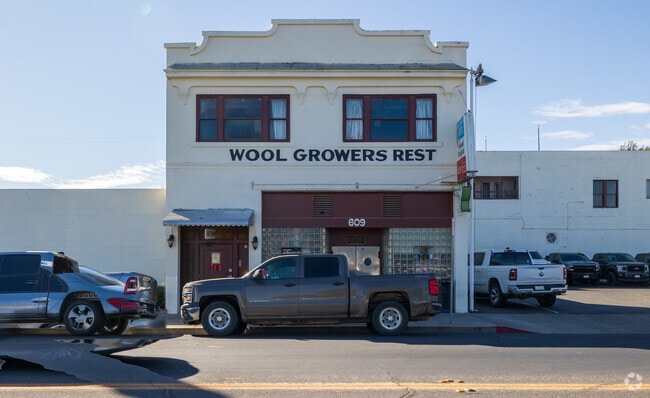
Wool Growers Restaurant of Los Banos has been around for over 100 years.
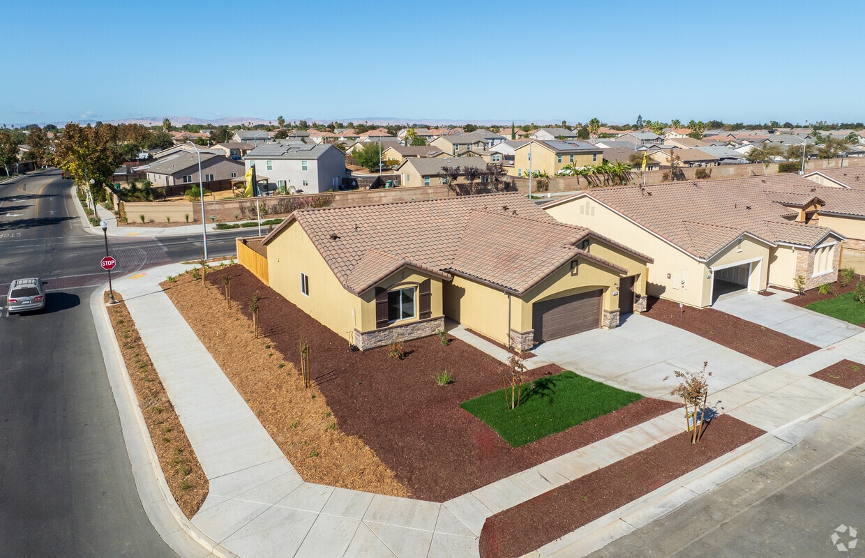
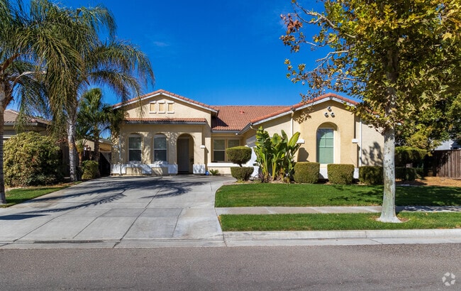
Mediterranean homes are popular near downtown Los Banos.
Shops and restaurants line Main Street in Downtown Los Banos.
The Los Banos Unified School District. is a major employer in the area.
Route 152 gives Los Banos commuters access to Merced and San Jose.
Median Household Income
$65,563
Average: $79,104
Education
5,350
Residents Have a Degree
Job Market
21,687
Workers Employed
Median Age
33 Years
Largest Age Group
10-19 Years
Approximately 18% of Residents
Under 20
31%
Over 65
12%
Housing Distribution
Los Banos has more homeowners than renters.

Education Distribution
Review this city's overall education levels.

As of July 2026, the average apartment rent in Los Banos, CA is $850 for one bedroom, $1,264 for two bedrooms, and $1,471 for three bedrooms. Apartment rent in Los Banos has decreased by -1.4% in the past year.
Explore how walkable, bikeable, drivable, and transit-friendly Los Banos, CA is for everyday living.
Fairly Walkable
Walkability
Minimal Public Transit
Transit
Exceptionally Drivable
Drivability
Fairly Bikeable
Bikeability
Public
Grades K-5
884 Students

Public
Grades K-5
573 Students
Westside Union Elementary School
Public
Grades K-5
573 Students
Public
Grades K-5
387 Students

Public
Grades K-5
387 Students
Public
Grades 6-8
938 Students
Public
Grades 6-8
938 Students
Public
Grades 6-8
812 Students

Public
Grades 9-12
1,725 Students

Public
Grades 9-12
1,725 Students
Public
Grades 9-12
1,543 Students
Public
Grades 9-12
1,543 Students
Public
Grades 9-12
82 Students

† Our analysis of utilities, groceries, transportation, healthcare, home prices, and other goods and services is sourced from the Cost of Living Index, a respected benchmark published by the Council for Community and Economic Research (C2ER) that provides a thorough overview of living expenses across different regions.
Rent data is provided by CoStar Group’s Market Trend reports. As the industry leader in commercial real estate information, analytics, and news, CoStar conducts extensive research to produce and maintain a comprehensive database of commercial real estate information. We combine this data with public record to provide the most up-to-date rental information available.
Consumer goods, services, and home prices are sourced from the Cost of Living Index published by the Council for Community and Economic Research (C2ER). The data on this page is updated quarterly. It was last published in June 2026.
Demographic information comes from Neustar and combines detailed address data with U.S. Census and American Community Survey statistics to produce reliable local estimates.


