Median Age
38 Years
Largest Age Group
30-39 Years
Approximately 16% of Residents
Under 20
24%
Over 65
13%
Avg Rent
$1,764
Population
29,727
Renter Mix
67% Rent
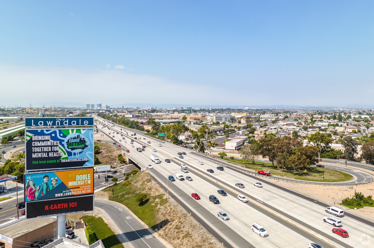
Lawndale, California is a great alternative to living in the hustle and bustle of Los Angeles. Urban in population but suburban in atmosphere, Lawndale is a family-friendly city nearing the Pacific Coast and popular places like Manhattan Beach. Situated about 16 miles southwest of Downtown Los Angeles, residents of Lawndale have quick and easy access to restaurants, shops, and entertainment options around the City of Angels.
With highways like I-405 running directly through town, Lawndale is a very commuter-friendly city, whether traveling to nearby areas for work or play. And if you’re a frequent flyer, you’ll appreciate that the Los Angeles International Airport is a quick seven mile driving distance northwest of Lawndale!
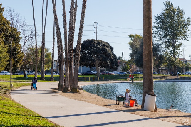
Lawndale is adjacent to Alondra Park, offering baseball fields, a fishing pond, and a sprawling golf course next to El Camino College. Residents of Lawndale know it as a hidden gem in the South Bay Area of Los Angeles, boasting lower rental rates than LA’s metro area, a welcoming community, and an abundance of nearby conveniences.
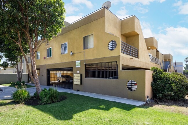
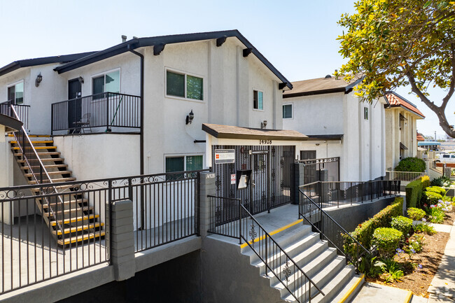
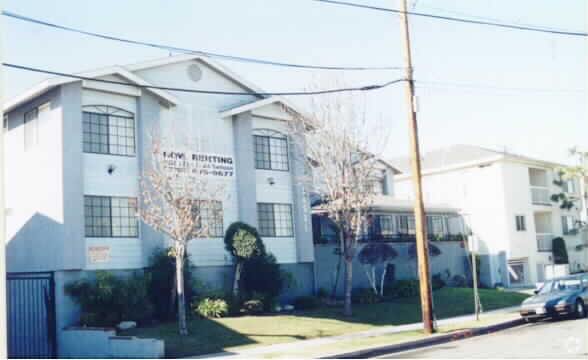
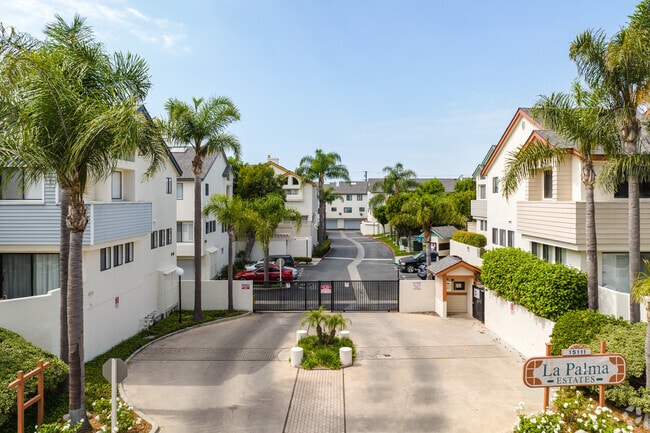
A gated community of townhomes is a great living option in Lawndale, CA.
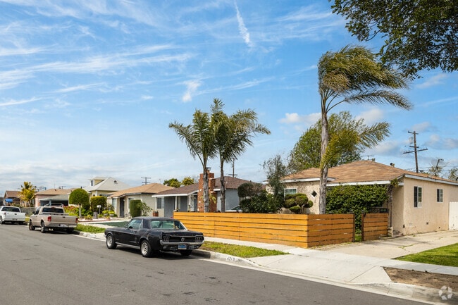
Palm Tree Lined Home With a Wood Paneled Fence in Lawndale
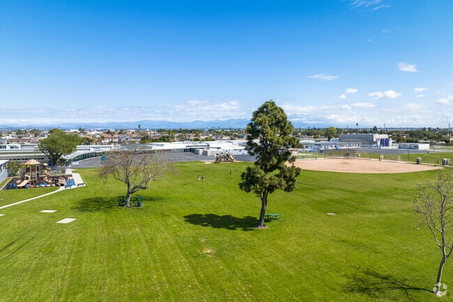
Residents From All Over Lawndale Come to Rogers Anderson Park to Enjoy the Large Open Fields
Median Household Income
$75,464
Average: $90,757
Education
6,974
Residents Have a Degree
Job Market
16,521
Workers Employed
Median Age
38 Years
Largest Age Group
30-39 Years
Approximately 16% of Residents
Under 20
24%
Over 65
13%
Housing Distribution
Lawndale has more renters than homeowners.

Education Distribution
Review this city's overall education levels.

As of August 2026, the average apartment rent in Lawndale, CA is $1,324 for a studio, $1,764 for one bedroom, $2,234 for two bedrooms, and $2,547 for three bedrooms. Apartment rent in Lawndale has increased by 1.8% in the past year.
Explore how walkable, bikeable, drivable, and transit-friendly Lawndale, CA is for everyday living.
Fairly Walkable
Walkability
Some Public Transit
Transit
Exceptionally Drivable
Drivability

Public
Grades K-5
331 Students

Lucille J. Smith Elementary School
Public
Grades K-5
331 Students
William Green Elementary School
Public
Grades K-5
516 Students

Public
Grades K-5
516 Students
Public
Grades K-5
585 Students

Public
Grades 6-8
644 Students

Public
Grades 6-8
644 Students
Public
Grades 6-8
799 Students
Public
Grades 9-12
488 Students
Public
Grades 9-12
1,981 Students

Public
Grades 9-12
1,403 Students
Public
Grades 9-12
1,403 Students
Centinela Valley Independent Study School
Public
Grades 9-12
62 Students

 The GreatSchools Rating helps parents compare schools within a state based on a variety of school quality indicators and provides a helpful picture of how effectively each school serves all of its students. Ratings are on a scale of 1 (below average) to 10 (above average) and can include test scores, college readiness, academic progress, advanced courses, equity, discipline and attendance data. We also advise parents to visit schools, consider other information on school performance and programs, and consider family needs as part of the school selection process.
View GreatSchools Rating Methodology
Data provided by
GreatSchools.org
© 2026. All rights reserved.
The GreatSchools Rating helps parents compare schools within a state based on a variety of school quality indicators and provides a helpful picture of how effectively each school serves all of its students. Ratings are on a scale of 1 (below average) to 10 (above average) and can include test scores, college readiness, academic progress, advanced courses, equity, discipline and attendance data. We also advise parents to visit schools, consider other information on school performance and programs, and consider family needs as part of the school selection process.
View GreatSchools Rating Methodology
Data provided by
GreatSchools.org
© 2026. All rights reserved.
† Our analysis of utilities, groceries, transportation, healthcare, home prices, and other goods and services is sourced from the Cost of Living Index, a respected benchmark published by the Council for Community and Economic Research (C2ER) that provides a thorough overview of living expenses across different regions.
Rent data is provided by CoStar Group’s Market Trend reports. As the industry leader in commercial real estate information, analytics, and news, CoStar conducts extensive research to produce and maintain a comprehensive database of commercial real estate information. We combine this data with public record to provide the most up-to-date rental information available.
Consumer goods, services, and home prices are sourced from the Cost of Living Index published by the Council for Community and Economic Research (C2ER). The data on this page is updated quarterly. It was last published in June 2026.
Demographic information comes from Neustar and combines detailed address data with U.S. Census and American Community Survey statistics to produce reliable local estimates.