Median Age
44 Years
Largest Age Group
55-64 Years
Approximately 14% of Residents
Under 20
20%
Over 65
22%
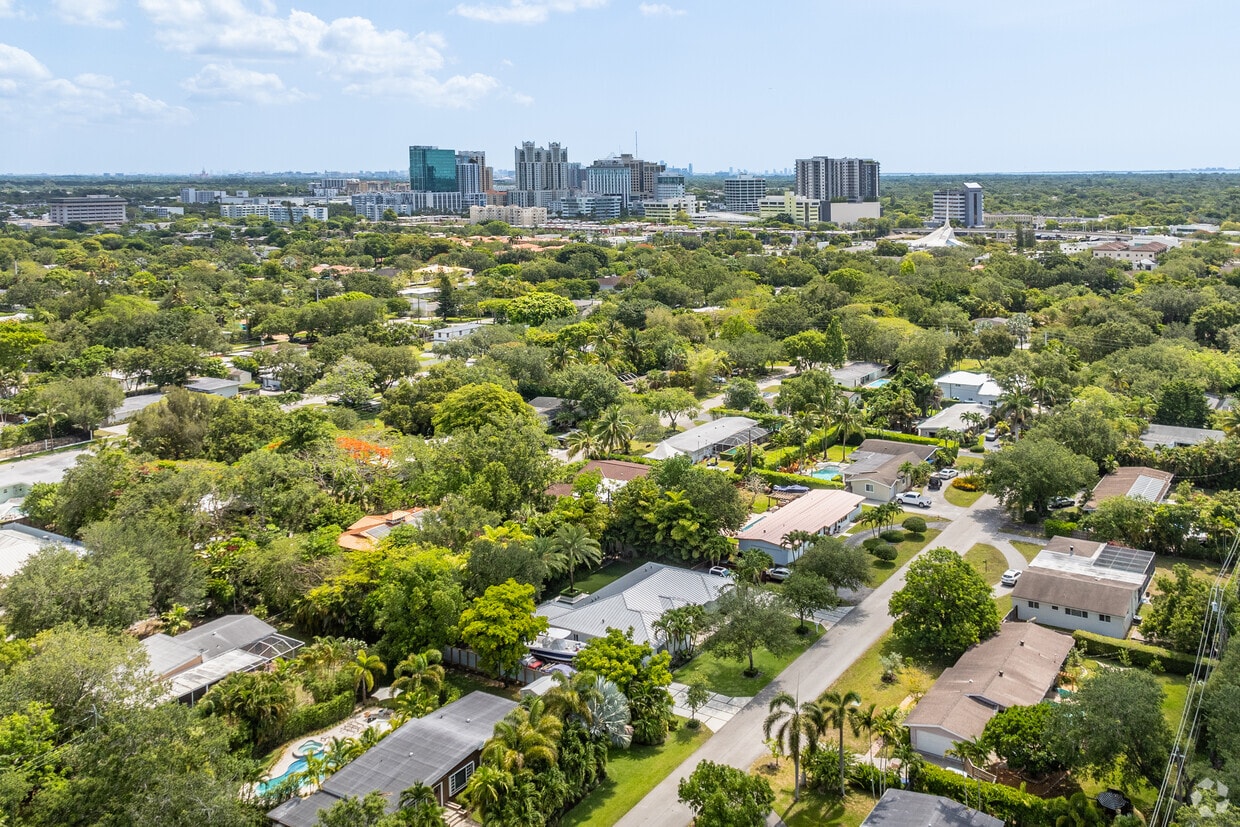


Located in Miami-Dade County, Kendall offers a comfortable suburban setting just 14 miles southwest of downtown Miami. The area centers around two major shopping destinations: Dadeland Mall and The Falls shopping center, providing residents with extensive retail options. Nature lovers will find respite at Kendall Indian Hammocks Park, which offers walking trails and recreational facilities amid native Florida vegetation. Housing options include both apartment communities and single-family homes, with one-bedroom apartments averaging $1,691 per month.
Transportation in Kendall is convenient, with Metrorail stations at Dadeland North and Dadeland South providing direct access to downtown Miami and Miami International Airport. The neighborhood houses Miami-Dade College's Kendall Campus and several public and private schools. Originally purchased by the Florida Land and Mortgage Company in 1883, Kendall - named after director Henry John Broughton Kendall - has grown into an established community that provides easy access to South Florida's attractions while maintaining its suburban character.
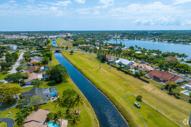
Briar Bay Linear park near Briar Bay Golf course in Kendall.
Residential condos near Briar Bay Golf course of Kendall.
Aerial overview of homes near The Falls mall off US1.
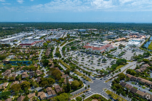
Waterfalls and pools at the Falls Mall bridges connecting both sides to retail and shopping.
Shop till you drop at The Falls in Kendall, FL.
You could bike to your destinations while living in Downtown Kendall, FL.
Median Household Income
$80,857
Average: $110,806
Education
28,844
Residents Have a Degree
Job Market
40,718
Workers Employed
Median Age
44 Years
Largest Age Group
55-64 Years
Approximately 14% of Residents
Under 20
20%
Over 65
22%
Housing Distribution
Kendall has more homeowners than renters.

Education Distribution
Review this city's overall education levels.

Explore how walkable, bikeable, drivable, and transit-friendly Kendall, FL is for everyday living.
Fairly Walkable
Walkability
Limited Public Transit
Transit
Moderately Drivable
Drivability
Somewhat Bikeable
Bikeability
† Our analysis of utilities, groceries, transportation, healthcare, home prices, and other goods and services is sourced from the Cost of Living Index, a respected benchmark published by the Council for Community and Economic Research (C2ER) that provides a thorough overview of living expenses across different regions.
Rent data is provided by CoStar Group’s Market Trend reports. As the industry leader in commercial real estate information, analytics, and news, CoStar conducts extensive research to produce and maintain a comprehensive database of commercial real estate information. We combine this data with public record to provide the most up-to-date rental information available.
Consumer goods, services, and home prices are sourced from the Cost of Living Index published by the Council for Community and Economic Research (C2ER). The data on this page is updated quarterly. It was last published in June 2026.
Demographic information comes from Neustar and combines detailed address data with U.S. Census and American Community Survey statistics to produce reliable local estimates.


