Median Age
50 Years
Largest Age Group
60-69 Years
Approximately 19% of Residents
Under 20
15%
Over 65
25%
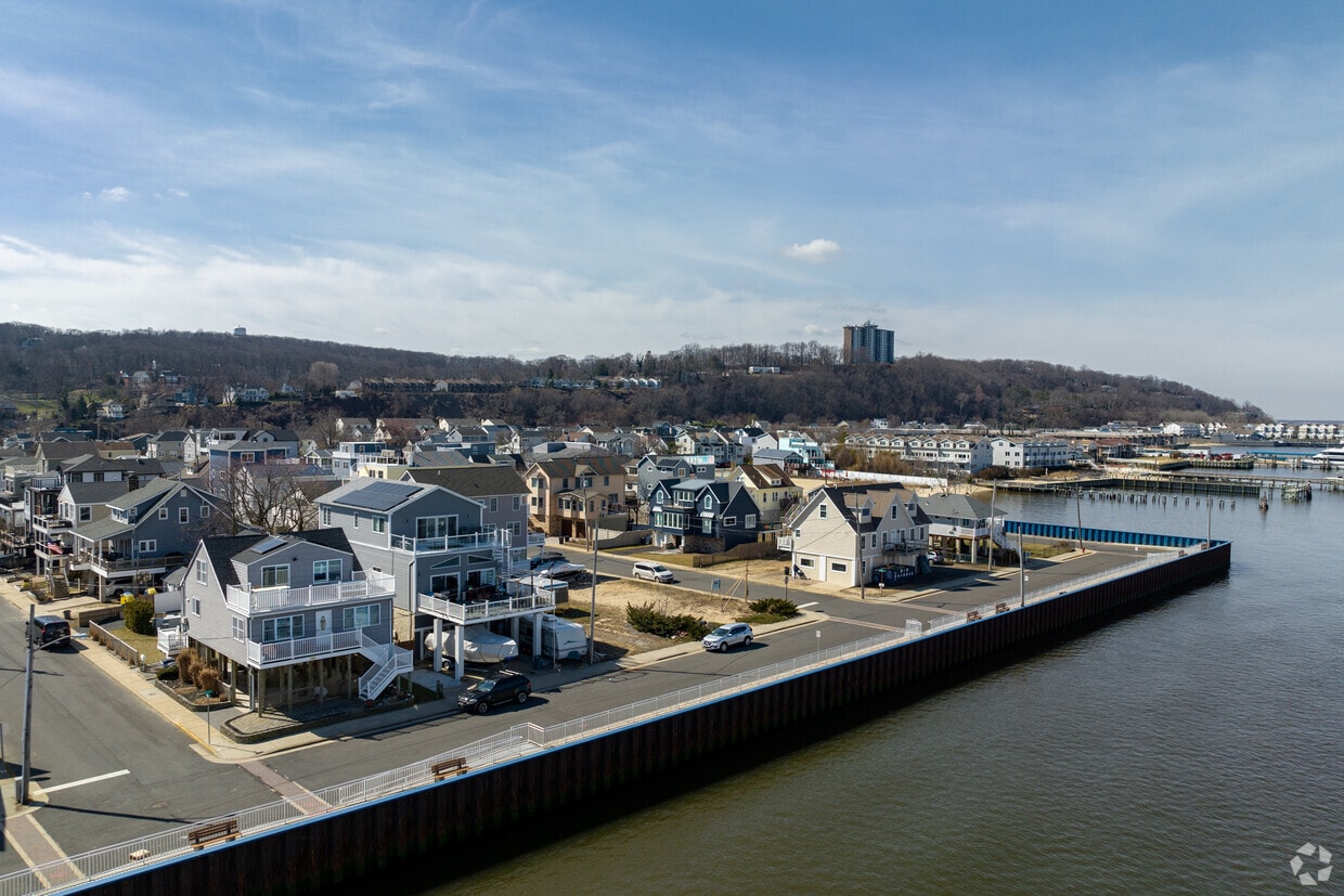

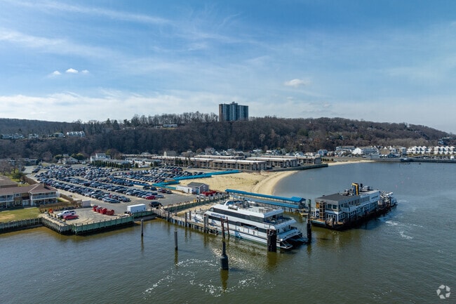
Perched on a high bluff above Sandy Hook Bay, Highlands, New Jersey offers something rare for a two-square-mile borough: the feeling of a close-knit waterfront town within commuting distance of Manhattan. The Zombie Parade and Pub Crawl and the annual Clamfest are longstanding local traditions that give the borough its spirited, shore-town personality year-round. The Seastreak Ferry connects residents directly to New York City, making this small Monmouth County community an appealing base for those who want coastal living without sacrificing access to one of the world's great cities.
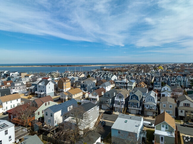
Highlands has an identity shaped by its geography. The eastern bluff, home to the historic Navesink Twin Lights, frames sweeping views of the Atlantic Ocean and New York Harbor. The borough sits alongside Hartshorne Woods and Sandy Hook, giving the surrounding landscape an open, unhurried character that contrasts with the density found deeper in the metro area. Neighborhoods range from hillside streets with older cottages and craftsman-style homes to waterfront blocks with updated residences closer to the bay. Given Highlands was incorporated in 1900, much of the housing stock carries architectural charm, with newer builds and renovated units sprinkled in.
Seastreak Ferry Terminal
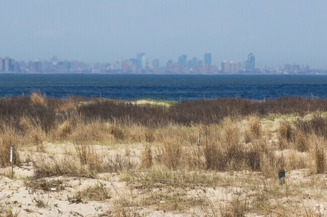
Sandy Hook Beach sports a view of Manhattan.
An aerial view of colonial homes.
Twin Lights Lighthouse
Ferries provide a scenic ride to start the commuters day.
Twin Lights Lighthouse
Median Household Income
$96,329
Average: $126,155
Education
2,661
Residents Have a Degree
Job Market
3,470
Workers Employed
Median Age
50 Years
Largest Age Group
60-69 Years
Approximately 19% of Residents
Under 20
15%
Over 65
25%
Housing Distribution
Highlands has more homeowners than renters.

Education Distribution
Review this city's overall education levels.

Explore how walkable, bikeable, drivable, and transit-friendly Highlands, NJ is for everyday living.
Somewhat Walkable
Walkability
Limited Public Transit
Transit
Exceptionally Drivable
Drivability
Moderately Bikeable
Bikeability
Public
Grades PK-5
160 Students

Public
Grades 6-12
302 Students

Public
Grades 6-12
302 Students
† Our analysis of utilities, groceries, transportation, healthcare, home prices, and other goods and services is sourced from the Cost of Living Index, a respected benchmark published by the Council for Community and Economic Research (C2ER) that provides a thorough overview of living expenses across different regions.
Rent data is provided by CoStar Group’s Market Trend reports. As the industry leader in commercial real estate information, analytics, and news, CoStar conducts extensive research to produce and maintain a comprehensive database of commercial real estate information. We combine this data with public record to provide the most up-to-date rental information available.
Consumer goods, services, and home prices are sourced from the Cost of Living Index published by the Council for Community and Economic Research (C2ER). The data on this page is updated quarterly. It was last published in June 2026.
Demographic information comes from Neustar and combines detailed address data with U.S. Census and American Community Survey statistics to produce reliable local estimates.


