Median Age
49 Years
Largest Age Group
55-64 Years
Approximately 17% of Residents
Under 20
19%
Over 65
24%

Harvard, MA is a small Worcester County town about 25 miles west-northwest of Boston, where rolling farmland, apple orchards, and a genuinely unhurried pace set it apart from the suburban corridor to the east. Daily life here revolves around open landscapes, seasonal rhythms, and a close-knit community feel. The Harvard General Store serves as a true gathering place in the town center, and Bare Hill Pond draws residents throughout the year. Bounded by I-495 to the east and Route 2 to the north, the town spans 27 square miles.
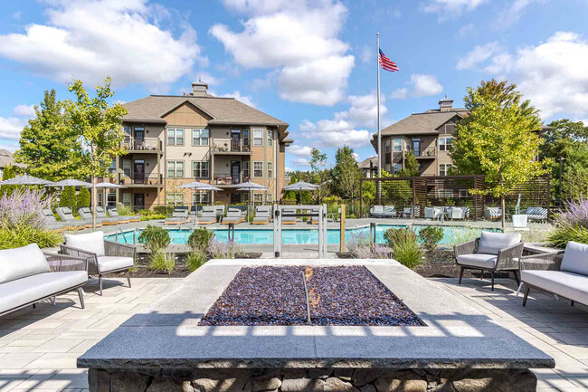
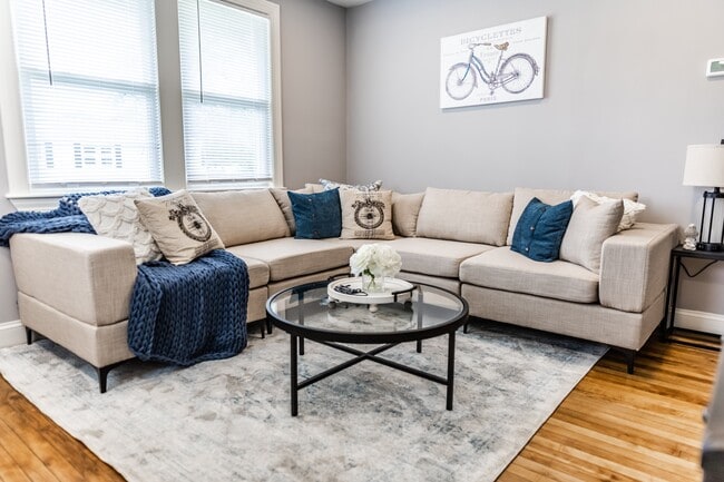
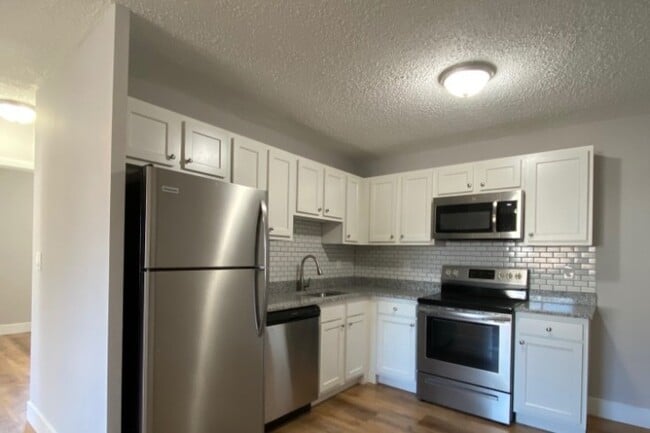
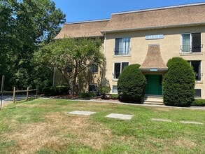
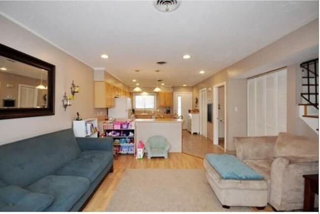
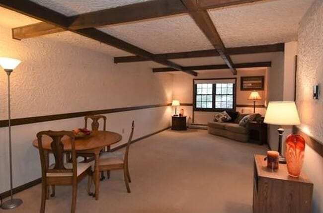
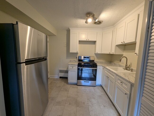
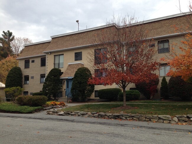
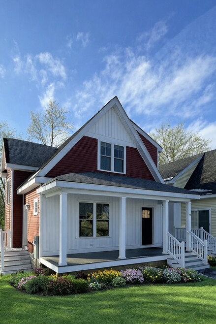
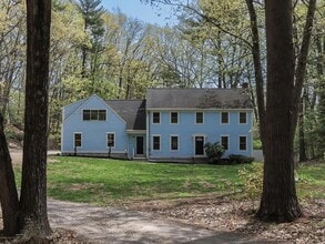
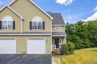
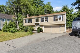
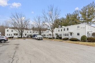
Smaller apartment communties and converted spaces are far more common. The rental home landscape in Harvard skews heavily toward single-family homes, most of them colonial-style on large lots. The architecture tends toward traditional New England architecture.
The Fruitlands Museum anchors the town's cultural identity, preserving the legacy of a transcendentalist utopian experiment led by Amos Bronson Alcott in the 1840s. Harvard Public Schools include Hildreth Elementary and The Bromfield School. The town's Shaker heritage, a former Harvard University observatory, and a filming connection to the 2019 film Little Women give Harvard a depth that its small size doesn't immediately suggest.
Median Household Income
$168,789
Average: $188,424
Education
3,595
Residents Have a Degree
Job Market
3,121
Workers Employed
Median Age
49 Years
Largest Age Group
55-64 Years
Approximately 17% of Residents
Under 20
19%
Over 65
24%
Housing Distribution
Harvard has more homeowners than renters.

Education Distribution
Review this city's overall education levels.

Explore how walkable, bikeable, drivable, and transit-friendly Harvard, MA is for everyday living.
Not Walkable
Walkability
Exceptionally Drivable
Drivability
Somewhat Bikeable
Bikeability

Public
Grades PK-5
446 Students

Public
Grades 6-8
241 Students

Public
Grades 9-12
319 Students
 The GreatSchools Rating helps parents compare schools within a state based on a variety of school quality indicators and provides a helpful picture of how effectively each school serves all of its students. Ratings are on a scale of 1 (below average) to 10 (above average) and can include test scores, college readiness, academic progress, advanced courses, equity, discipline and attendance data. We also advise parents to visit schools, consider other information on school performance and programs, and consider family needs as part of the school selection process.
View GreatSchools Rating Methodology
Data provided by
GreatSchools.org
© 2026. All rights reserved.
The GreatSchools Rating helps parents compare schools within a state based on a variety of school quality indicators and provides a helpful picture of how effectively each school serves all of its students. Ratings are on a scale of 1 (below average) to 10 (above average) and can include test scores, college readiness, academic progress, advanced courses, equity, discipline and attendance data. We also advise parents to visit schools, consider other information on school performance and programs, and consider family needs as part of the school selection process.
View GreatSchools Rating Methodology
Data provided by
GreatSchools.org
© 2026. All rights reserved.
† Our analysis of utilities, groceries, transportation, healthcare, home prices, and other goods and services is sourced from the Cost of Living Index, a respected benchmark published by the Council for Community and Economic Research (C2ER) that provides a thorough overview of living expenses across different regions.
Rent data is provided by CoStar Group’s Market Trend reports. As the industry leader in commercial real estate information, analytics, and news, CoStar conducts extensive research to produce and maintain a comprehensive database of commercial real estate information. We combine this data with public record to provide the most up-to-date rental information available.
Consumer goods, services, and home prices are sourced from the Cost of Living Index published by the Council for Community and Economic Research (C2ER). The data on this page is updated quarterly. It was last published in September 2026.
Demographic information comes from Neustar and combines detailed address data with U.S. Census and American Community Survey statistics to produce reliable local estimates.