Median Age
36 Years
Largest Age Group
25-34 Years
Approximately 18% of Residents
Under 20
23%
Over 65
16%
Avg Rent
$1,451
Population
33,798
Renter Mix
54% Rent
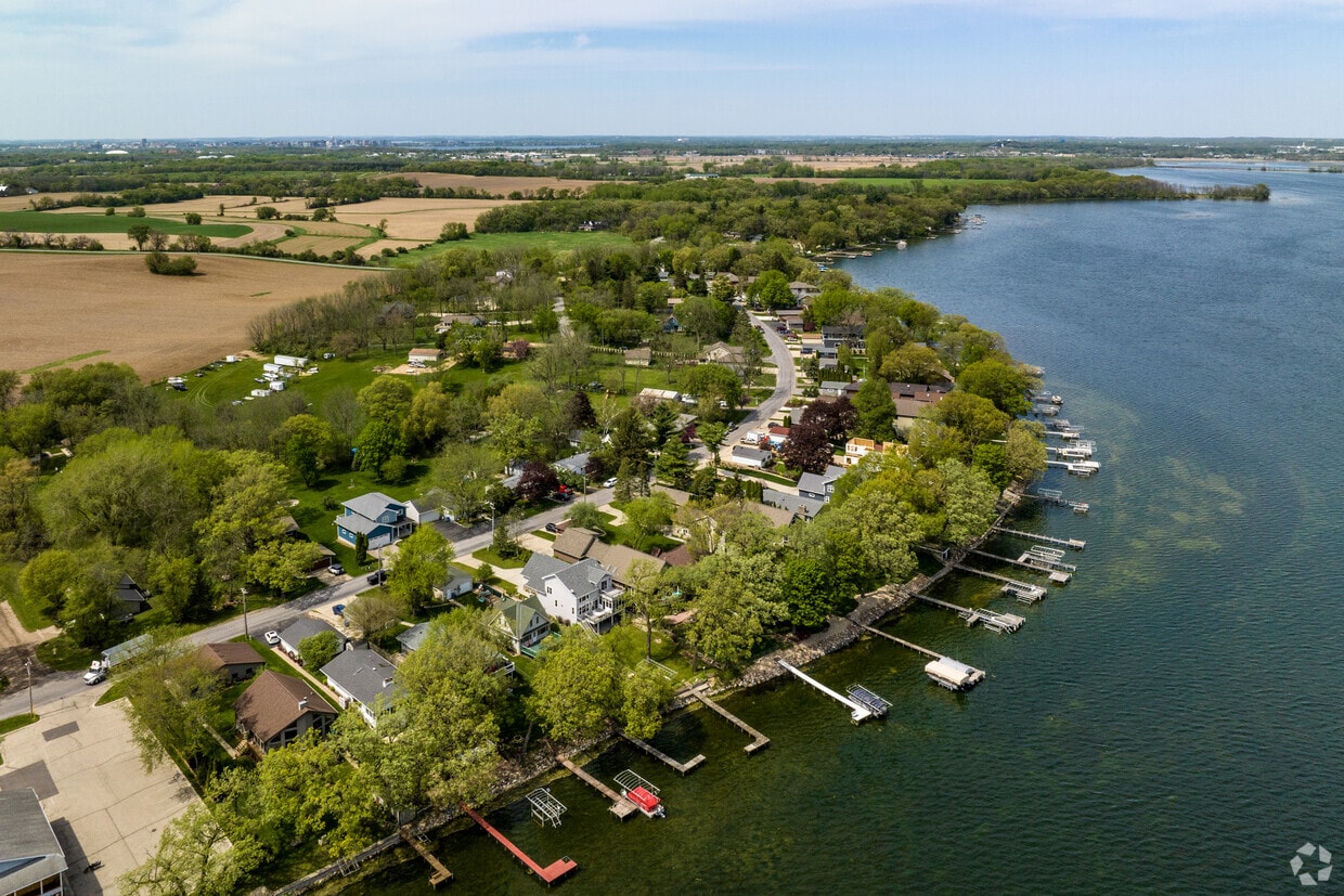
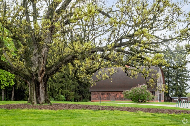
Even though it sits directly south of Madison, Fitchburg feels miles away. The University of Wisconsin-Madison Arboretum is on the north end of the city, along with Capital Springs State Recreation Area, giving the city a wooded, suburban appearance. The south end of the neighborhood features rolling farmland, adding to the pastoral feel.
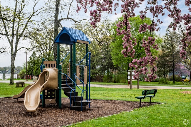
When choosing a Fitchburg apartment, be aware that the north side, closer to Madison, is slightly more populated. The commercial center of the city is along Verona Road, while the south side features more open green space. The city offers more than 700 acres of park space and includes hiking trails, greenways, a community center, and a golf course.
Goodland County Park in Fitchburg offers a beach in the summer and a sledding hill in the winter.
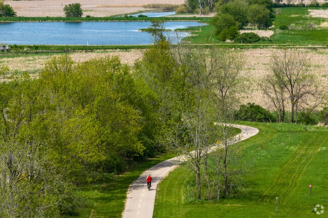
Part of the paved path at Lake Farm County Park winds past ponds and a campground.
Lake Farm County Park is home to the Lussier Family Heritage Center.
Bicyclists can enjoy a sunny day on the path at William G. Lunney County Park in Fitchburg.
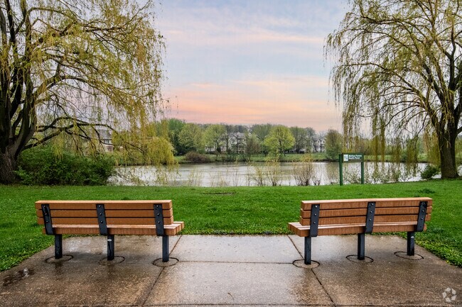
Residents can get some fresh air at Nannyberry Park.
The Lake Farm Heritage Trail in Fitchburg winds through much of a beloved county park.
Median Household Income
$77,493
Average: $112,015
Education
14,406
Residents Have a Degree
Job Market
20,128
Workers Employed
Median Age
36 Years
Largest Age Group
25-34 Years
Approximately 18% of Residents
Under 20
23%
Over 65
16%
Housing Distribution
Fitchburg has more renters than homeowners.

Education Distribution
Review this city's overall education levels.

As of July 2026, the average apartment rent in Fitchburg, WI is $1,240 for a studio, $1,453 for one bedroom, $1,765 for two bedrooms, and $2,278 for three bedrooms. Apartment rent in Fitchburg has increased by 1.7% in the past year.
Explore how walkable, bikeable, drivable, and transit-friendly Fitchburg, WI is for everyday living.
Somewhat Walkable
Walkability
Minimal Public Transit
Transit
Very Drivable
Drivability
Fairly Bikeable
Bikeability
Public
Grades PK-5
385 Students

Stoner Prairie Elementary School
Public
Grades K-5
407 Students

Public
Grades K-5
381 Students

Public
Grades 6-8
394 Students
Public
Grades 6-8
360 Students
† Our analysis of utilities, groceries, transportation, healthcare, home prices, and other goods and services is sourced from the Cost of Living Index, a respected benchmark published by the Council for Community and Economic Research (C2ER) that provides a thorough overview of living expenses across different regions.
Rent data is provided by CoStar Group’s Market Trend reports. As the industry leader in commercial real estate information, analytics, and news, CoStar conducts extensive research to produce and maintain a comprehensive database of commercial real estate information. We combine this data with public record to provide the most up-to-date rental information available.
Consumer goods, services, and home prices are sourced from the Cost of Living Index published by the Council for Community and Economic Research (C2ER). The data on this page is updated quarterly. It was last published in June 2026.
Demographic information comes from Neustar and combines detailed address data with U.S. Census and American Community Survey statistics to produce reliable local estimates.


