Median Age
43 Years
Largest Age Group
55-64 Years
Approximately 14% of Residents
Under 20
22%
Over 65
20%

Avg Rent
$1,813
Population
32,275
Renter Mix
23% Rent
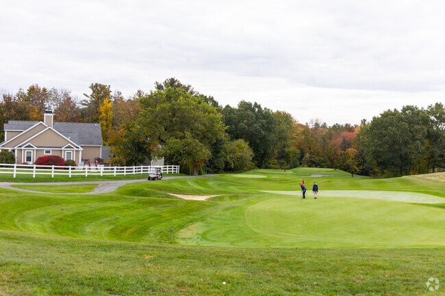
Stately maples line the residential streets, the Merrimack River traces the town's southern edge, and daily life moves at a slower pace -- even though Lowell's galleries, restaurants, and historic museums are just across the bridge. Dracut delivers that calm, park-like setting without the price tag common to many Boston-area communities. Popular pockets of town stretch from the neighborhoods near Veteran's Memorial Park to the quieter stretches closer to the New Hampshire border, and everyday errands are a short drive away.
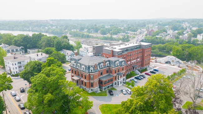
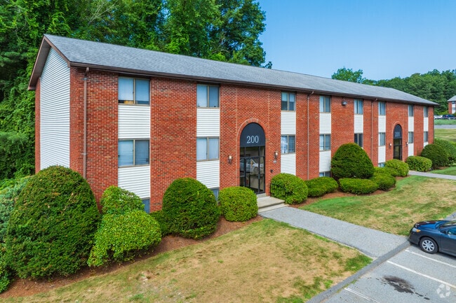
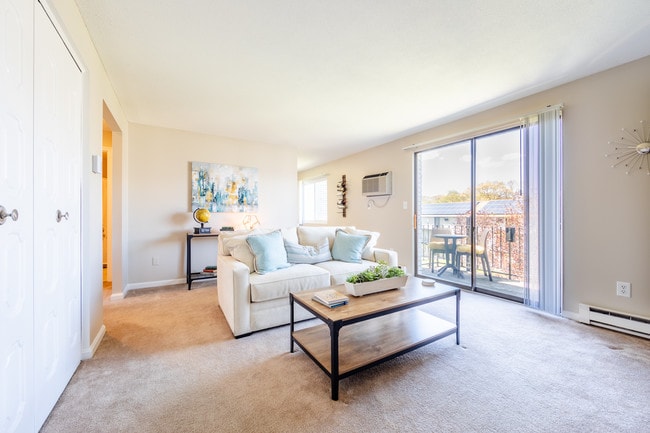
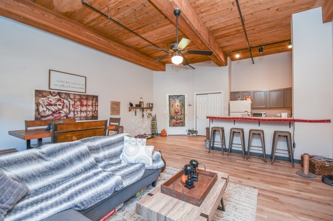
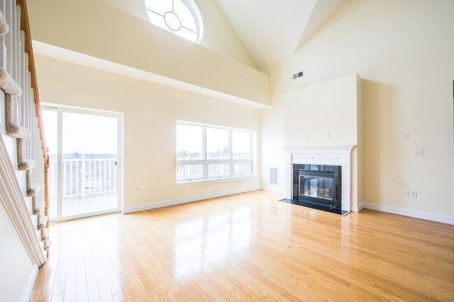
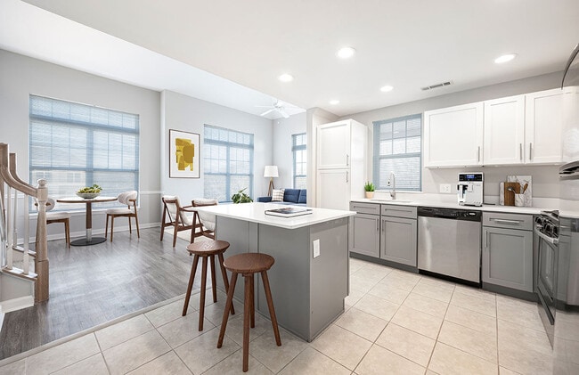
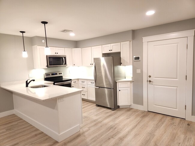
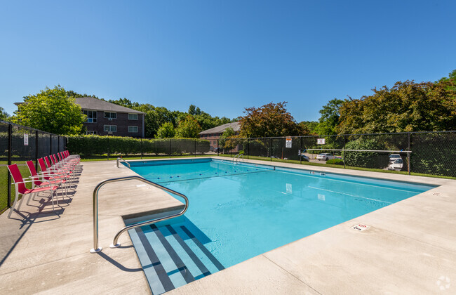
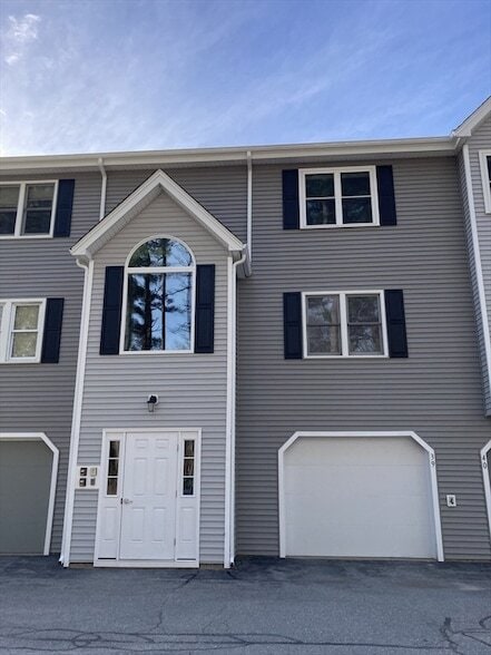
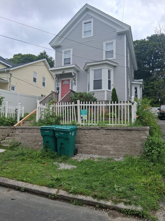
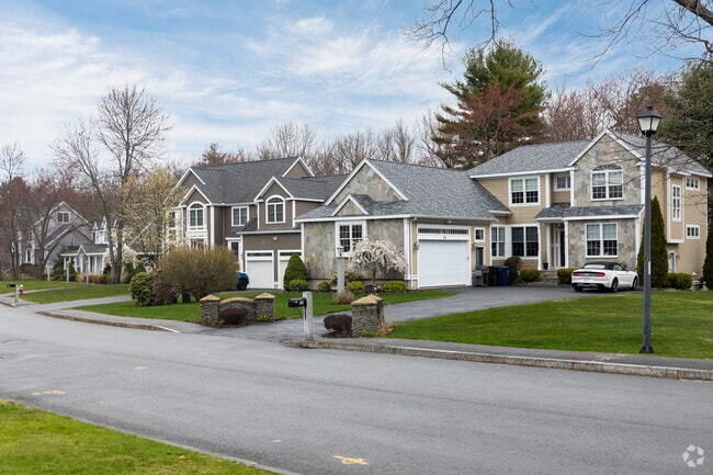
The rental stock leans heavily toward historic, brick apartment communities, often converted from old buildings, and single-family homes built in the 1900s, with Colonial Revival and ranch-style architecture setting the tone. More modern apartment communities round out the options, giving renters a choice between a traditional house rental and a more contemporary unit.
Dracut holds the distinction of being the second most populous town in Massachusetts governed by open town meeting. UMass Lowell sits roughly four miles to the southwest, adding a lively cultural current close to an otherwise tranquil suburb.
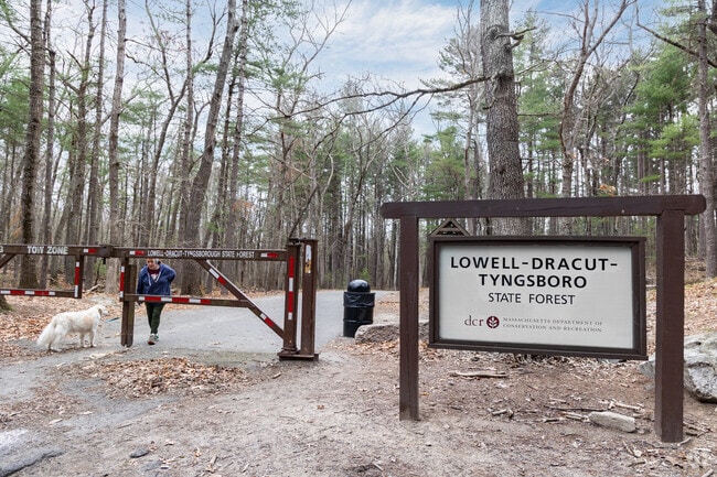
Many people and their furry companions enjoy the wide variety of terrain in the state forest.
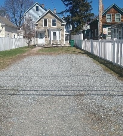
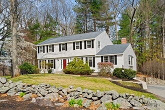
A row of homes showcasing the various architectural styles you will find in Dracut.
Spread over 3 towns the Lowell Dracut Tyngsboro State forest offers miles of hiking trails.
Commuters in Dracut can take the public bus which serves the local communities.
Nearby Lowell's commuter rail offers service to Boston and points north.
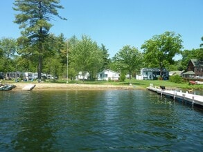
A fisherman enjoys a quiet afternoon on Lake Mascuppic in Dracut.
Median Household Income
$98,473
Average: $116,093
Education
9,336
Residents Have a Degree
Job Market
18,052
Workers Employed
Median Age
43 Years
Largest Age Group
55-64 Years
Approximately 14% of Residents
Under 20
22%
Over 65
20%
Housing Distribution
Dracut has more homeowners than renters.

Education Distribution
Review this city's overall education levels.

As of September 2026, the average apartment rent in Dracut, MA is $1,813 for one bedroom, $2,020 for two bedrooms, and $2,575 for three bedrooms. Apartment rent in Dracut has increased by 0.7% in the past year.
Explore how walkable, bikeable, drivable, and transit-friendly Dracut, MA is for everyday living.
Somewhat Walkable
Walkability
Very Drivable
Drivability
Somewhat Bikeable
Bikeability

George High Englesby Elementary School
Public
Grades K-5
500 Students

Joseph A Campbell Elementary School
Public
Grades PK-5
569 Students

Public
Grades PK-5
482 Students
Greenmont Avenue Elementary School
Public
Grades K-5
202 Students
Public
Grades PK-5
569 Students

Justus C. Richardson Middle School
Public
Grades 6-8
940 Students
Public
Grades 9-12
763 Students
Public
Grades 9-12
763 Students
Public
Grades 9-12
7 Students
 The GreatSchools Rating helps parents compare schools within a state based on a variety of school quality indicators and provides a helpful picture of how effectively each school serves all of its students. Ratings are on a scale of 1 (below average) to 10 (above average) and can include test scores, college readiness, academic progress, advanced courses, equity, discipline and attendance data. We also advise parents to visit schools, consider other information on school performance and programs, and consider family needs as part of the school selection process.
View GreatSchools Rating Methodology
Data provided by
GreatSchools.org
© 2026. All rights reserved.
The GreatSchools Rating helps parents compare schools within a state based on a variety of school quality indicators and provides a helpful picture of how effectively each school serves all of its students. Ratings are on a scale of 1 (below average) to 10 (above average) and can include test scores, college readiness, academic progress, advanced courses, equity, discipline and attendance data. We also advise parents to visit schools, consider other information on school performance and programs, and consider family needs as part of the school selection process.
View GreatSchools Rating Methodology
Data provided by
GreatSchools.org
© 2026. All rights reserved.
† Our analysis of utilities, groceries, transportation, healthcare, home prices, and other goods and services is sourced from the Cost of Living Index, a respected benchmark published by the Council for Community and Economic Research (C2ER) that provides a thorough overview of living expenses across different regions.
Rent data is provided by CoStar Group’s Market Trend reports. As the industry leader in commercial real estate information, analytics, and news, CoStar conducts extensive research to produce and maintain a comprehensive database of commercial real estate information. We combine this data with public record to provide the most up-to-date rental information available.
Consumer goods, services, and home prices are sourced from the Cost of Living Index published by the Council for Community and Economic Research (C2ER). The data on this page is updated quarterly. It was last published in September 2026.
Demographic information comes from Neustar and combines detailed address data with U.S. Census and American Community Survey statistics to produce reliable local estimates.