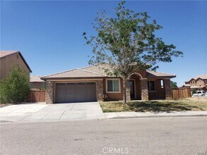
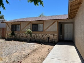
Adelanto is defined by its desert landscape.
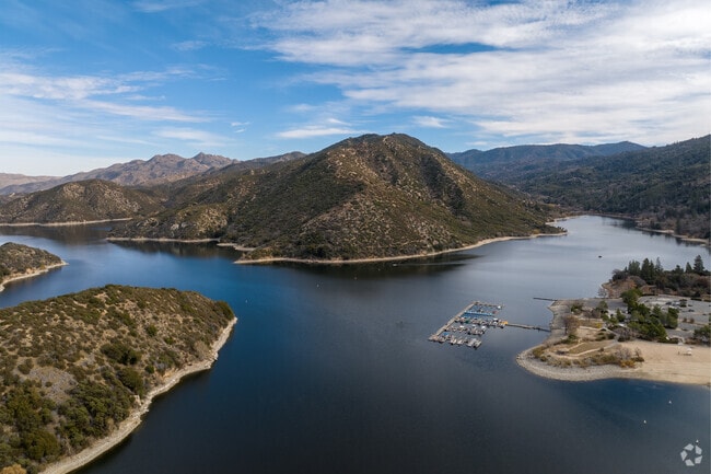
30 miles from Adelanto is Silverwood Lake State Park with a large lake that is surrounded by forests.
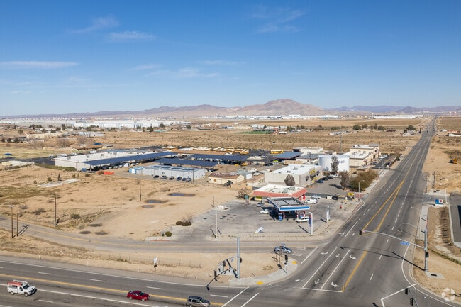
The main street of Adelanto contains a nice selection of retail and services.
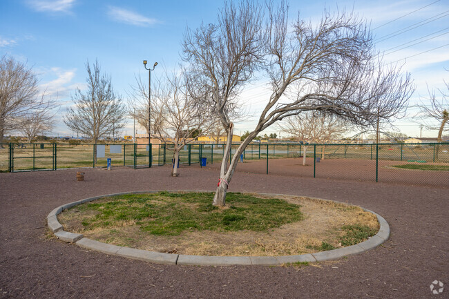
Bring your furry friend to Pryke Dog Park and then go for a stroll in nearby Richardson Park.
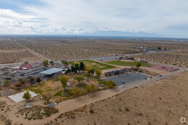
Richardson Park has space for all kinds of recreation, from sports to walking.

Adelanto, CA Area Guide

Avg Rent

$1,190

Population

38,013

Renter Mix

42% Rent

A tranquil desert suburb with all of the Inland Empire at your doorstep

Suburb Rural Desert

Adelanto sits in California's High Desert at nearly 2,900 feet above sea level, part of San Bernardino County's Victor Valley region, roughly six miles west of Victorville and about 65 miles northeast of Los Angeles. The surrounding landscape is wide-open Mojave Desert, with mountain views in the distance and a dry, sunny climate throughout most of the year. Day-to-day life here is car-dependent, with most errands handled along commercial corridors like Bartlett Avenue and Highway 395, where chain retailers and fast-food spots anchor the area's retail base. Residents looking for a broader range of dining, entertainment, or specialty shopping often make the short drive to Victorville or Apple Valley.

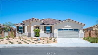
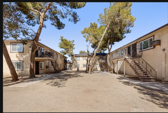
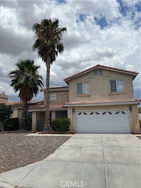
Housing in Adelanto is largely single-family, with detached homes making up the vast majority of the city's residential stock. Renters will find garden-style apartment communities and some smaller multi-unit buildings, as well as the occasional manufactured home option. The city incorporated in December 1970 and has seen significant population growth since then, more than doubling its population between 2000 and 2024, reaching roughly 38,000 residents. Transportation and warehousing is one of the area's largest employment sectors, reflecting the region's ties to logistics corridors that connect the High Desert to Southern California's broader economy.

Explore the City

The main street of Adelanto contains a nice selection of retail and services.

Bring your furry friend to Pryke Dog Park and then go for a stroll in nearby Richardson Park.

Richardson Park has space for all kinds of recreation, from sports to walking.

Adelanto Public Library is home to books and video resources and a quiet place to enjoy a book.

Parks are popular gathering spots in Adelanto.

The desert sunsets are vibrant and beautiful in Adelanto.

Demographics

Median Household Income

$63,271

Average: $71,293

Education

2,308

Residents Have a Degree

Job Market

14,014

Workers Employed

Age Distribution
Get a sense of this area's population profile.

Median Age

30 Years

Largest Age Group

10-19 Years

Approximately 18% of Residents

Under 20

33%

Over 65

8%
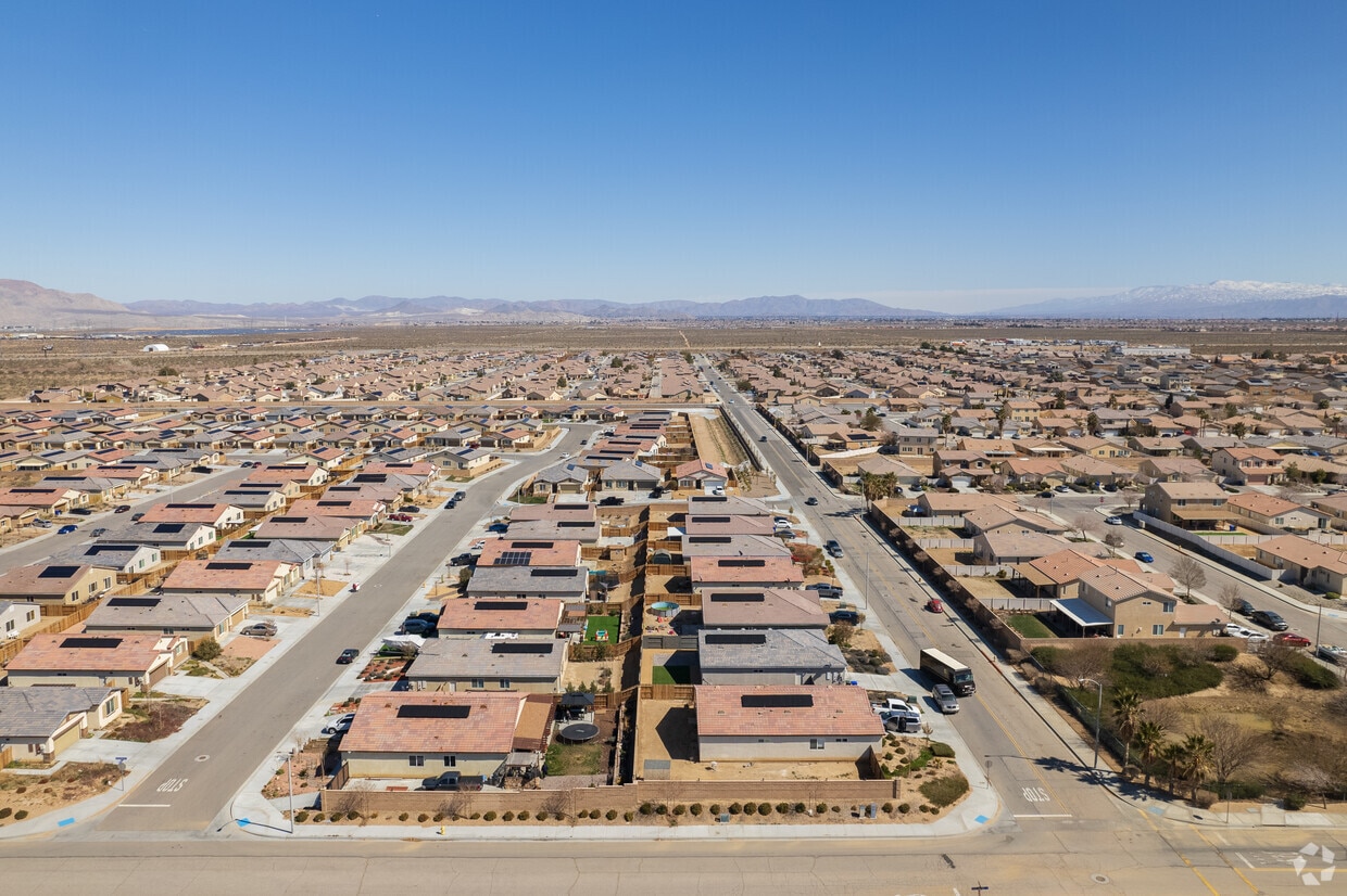
Housing Distribution

Adelanto has more homeowners than renters.

Renters
42%
Non-Renters
58%

Education Distribution

Review this city's overall education levels.

Bachelor's or Higher
3%
Other Education
97%

Rent Trends

As of August 2026, the average apartment rent in Adelanto, CA is $1,182 for a studio, $1,190 for one bedroom, $1,471 for two bedrooms, and $1,252 for three bedrooms. Apartment rent in Adelanto has increased by 5.1% in the past year.

Property Type
Average Rent
Average Sq Ft
Apartment
$1,190/month
563 Sq Ft
House
$2,610/month
1,863 Sq Ft
See Rental Market Trends in Adelanto, CA

Learn More About Adelanto

Getting Around

Exceptionally Drivable

Drivability

100 / 100

Somewhat Bikeable

Bikeability

20 / 100

Schools

Desert Trails Preparatory Academy

Public

Grades K-8

345 Students

Victoria Magathan Elementary School

Public

Grades K-5

551 Students

Eagle Ranch School

Public

Grades K-5

535 Students

Taylion High Desert Academy

Public

Grades K-12

803 Students

Theodore Vick Elementary School

Public

Grades K-5

494 Students

Desert Trails Preparatory Academy

Public

Grades K-8

345 Students

Columbia Middle School

Public

Grades 6-8

754 Students

Taylion High Desert Academy

Public

Grades K-12

803 Students

El Mirage

Public

Grades K-8

128 Students

Adelanto High School

Public

Grades 9-12

2,247 Students

Taylion High Desert Academy

Public

Grades K-12

803 Students

Points of Interest

Top Apartments in Adelanto

Houses for Rent in Adelanto

Living in Adelanto

History

-

Adelanto's development picked up in the mid-20th century, when defense and aerospace activity in the broader High Desert region brought workers and infrastructure to the area. George Air Force Base, which operated near Victorville before its closure in 1992, shaped much of the growth pattern across this part of San Bernardino County, including communities like Adelanto that grew alongside it. The flat, open terrain and relative affordability attracted new residents during subsequent decades. The city's post-incorporation history is visible in its built environment. Most of the housing stock is relatively recent, with a large share of homes built after 1990. The San Bernardino County Library operates an Adelanto branch on Bartlett Avenue, serving as one of the city's primary civic gathering spaces. The wider Victor Valley area has a long connection to aerospace history, and the former military presence in the region is still part of the local identity that residents encounter through place names and local lore.

Restaurants

-

Dining options in Adelanto skew toward fast food and casual chains, which line the Bartlett Avenue corridor and the Highway 395 area. National chains including Denny's, KFC, Little Caesars, Carl's Jr., and Subway are among the established names in town. For a wider selection of sit-down restaurants, taqueria-style spots serving carne asada, birria, and other Mexican regional dishes, as well as additional international options, residents typically head to neighboring Victorville, which is just a short drive away and offers a notably broader dining scene. The city's demographics reflect deep roots in Mexican culinary tradition, and locally run spots serving tacos, tortas, and homestyle Mexican cooking can be found alongside the national chains. The High Desert area broadly has seen growing interest in food trucks and informal market-style vendors, especially on weekends, offering everything from grilled elotes to aguas frescas.

Transportation

-

Adelanto is primarily a car-dependent city, and most residents rely on personal vehicles for daily travel. Highway 395 runs along the eastern edge of the city and serves as the main commercial and transit spine, connecting Adelanto to Victorville to the north and to the San Bernardino Valley communities to the south. Interstate 15, the primary freeway linking the High Desert to the Los Angeles Basin, is accessible via Victorville roughly six miles away, making the corridor a practical route for commuters heading toward the greater metro area. Average commute times run long, with many residents spending over 40 minutes traveling to work each direction. The Victor Valley Transit Authority (VVTA) provides local bus service in the Victor Valley region, with routes serving Adelanto. An Amtrak station is located in Victorville, approximately nine miles away, offering intercity rail connections. Sidewalk infrastructure in Adelanto is uneven across the city, and biking is not widely practiced as a commute mode, though the flat terrain is suitable for recreational rides in residential areas.

Parks

-

Adelanto has several parks distributed across the city, including Adelanto Park, Howard Loy Park, Richardson Park, and Westside Park. These spaces generally offer open fields, playgrounds, and room for informal recreation. Maverick Baseball Stadium serves as a recreational anchor for organized sports in the community. The Sunrise Motorcycle Park provides off-road riding terrain, reflecting the area's strong connection to desert recreational culture. For outdoor enthusiasts seeking larger natural spaces, the Mojave Desert itself provides a dramatic open backdrop to daily life, with opportunities for hiking, off-roading, and stargazing in the surrounding terrain. Mojave National Preserve is accessible within an hour or two to the northeast, offering dramatic landscapes including sand dunes, volcanic formations, and Joshua tree forests. Silverwood Lake State Recreation Area and the San Bernardino National Forest are also reachable within about an hour's drive south, offering camping, fishing, and trails.

Cost

-

Adelanto's cost of living index is estimated at approximately 110, slightly above the U.S. average of 100, though still considerably lower than many other California cities. The estimated median home value as of 2024 is around $377,374, well below the California statewide median of approximately $759,500. Median gross rent is estimated at about $1,561 per month. The local economy is anchored by transportation and warehousing, retail trade, healthcare, and construction. The unemployment rate has run higher than the state average, and the area's median household income of approximately $70,948 trails the statewide figure. Residents who work in the logistics and warehouse sectors often benefit from proximity to major distribution routes along the I-15 corridor.

Shopping

-

Bartlett Avenue is Adelanto's main commercial corridor, lined with chain retailers, grocery stores, and service businesses that cover everyday needs. Bartlett Square Shopping Center is the city's primary retail hub, anchoring the corridor with a mix of national tenants and locally owned businesses. Highway 395 also carries a stretch of commercial activity, with additional shops and services for residents on the city's eastern side. For a wider range of retail, residents regularly travel to neighboring Victorville and Apple Valley, both of which offer regional shopping centers, big-box stores, and a broader selection of specialty retail. Victor Valley Mall in Victorville, about six miles away, provides the nearest enclosed mall shopping experience in the area.

Highlights

-

Adelanto offers some of the most affordable home values in Southern California at roughly half the state median, combined with easy access to Mojave Desert recreation and a short freeway connection to the broader Inland Empire and Los Angeles regions.

Search Nearby Rentals

Methodology

† Our analysis of utilities, groceries, transportation, healthcare, home prices, and other goods and services is sourced from the Cost of Living Index, a respected benchmark published by the Council for Community and Economic Research (C2ER) that provides a thorough overview of living expenses across different regions.

Rent data is provided by CoStar Group’s Market Trend reports. As the industry leader in commercial real estate information, analytics, and news, CoStar conducts extensive research to produce and maintain a comprehensive database of commercial real estate information. We combine this data with public record to provide the most up-to-date rental information available.

Consumer goods, services, and home prices are sourced from the Cost of Living Index published by the Council for Community and Economic Research (C2ER). The data on this page is updated quarterly. It was last published in June 2026.

Demographic information comes from Neustar and combines detailed address data with U.S. Census and American Community Survey statistics to produce reliable local estimates.