

$2,195
/ Month
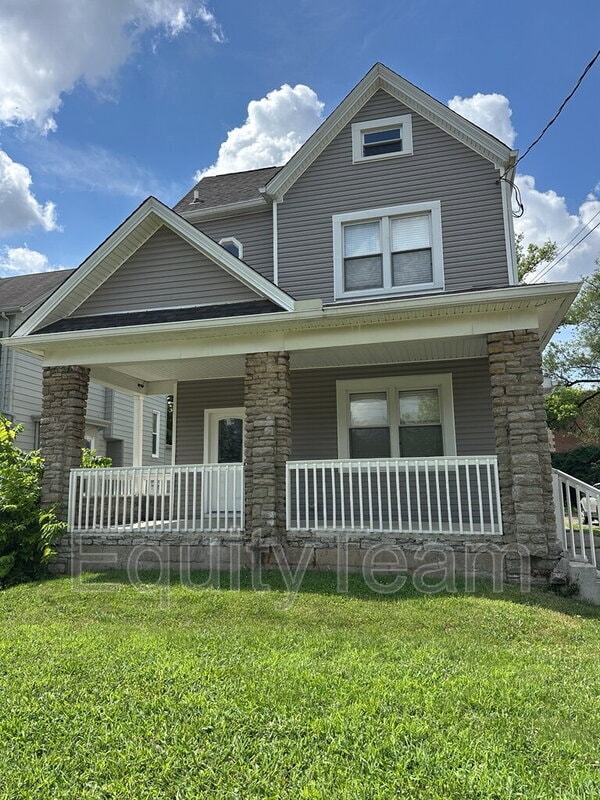
27 Ferndale Ave
Cincinnati, OH 45216
2 Weeks Ago
|
Edit
Favorites
27 Ferndale Ave

Favorites
Check Back Soon for Upcoming Availability
| Beds | Baths | Average SF |
|---|---|---|
| 4 Bedrooms 4 Bedrooms 4 Br | 2 Baths 2 Baths 2 Ba | 2,290 SF |
Fees and Policies
The fees below are based on community-supplied data and may exclude additional fees and utilities.
- Dogs Allowed
-
Fees not specified
- Cats Allowed
-
Fees not specified
- Parking
-
Street--
About This Property
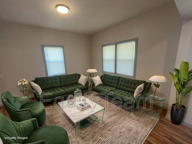
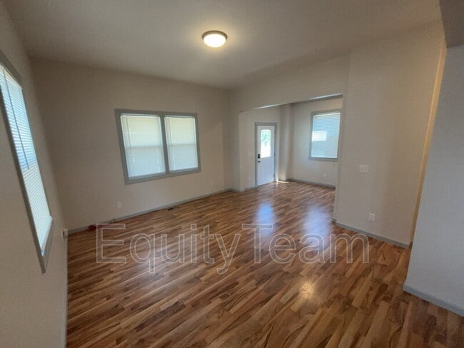
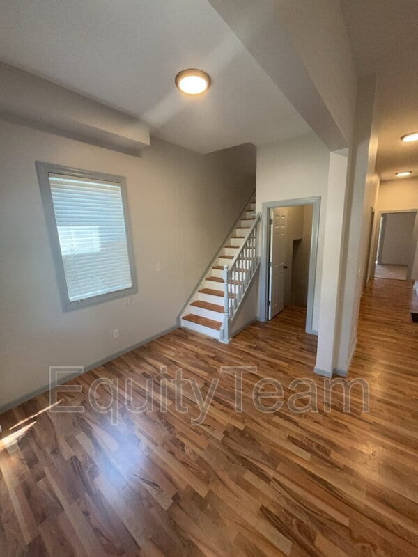
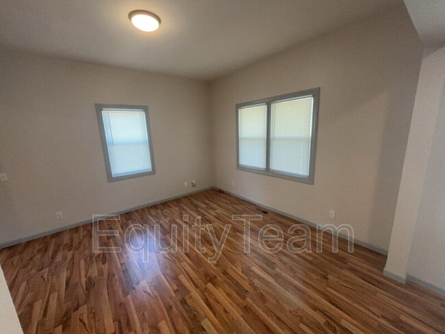
This home features: Fresh paint; updated kitchen with SS appliances; updated bathrooms; laundry room with washer & dryer; basement for extra storage; backyard; and more! Virtual Tour Link: *Pet Friendly(Small Pets Only)* In addition to rent, there is a mandatory Resident Benefit Package ($29 per month), which includes: - $100,000 liability coverage on the property - $10,000 in tenant personal property coverage - HVAC filters delivered to your unit to be changed out quarterly (if applicable) - Free ACH payments - Credit reporting of rent payments to help improve credit - Tenant & Maintenance Portals -Resident Concierge Service to help tenants save money on frequently used services *Multiple Security Deposit options/alternatives available *See Application Terms & Conditions on for other charges *$49 Application Fee per adult
27 Ferndale Ave is a house located in Hamilton County and the 45216 ZIP Code. This area is served by the Cincinnati Public Schools attendance zone.
Location
Get Directions
The Hartwell neighborhood is eleven miles from Downtown Cincinnati, nestled between Interstate 75 and Route 126. First incorporated in 1876, the community has blossomed into a bustling business district, especially along Vine Street.
In addition to local companies, Vine Street is encompassed by the town community center, grocery stores, and quick-bites restaurants. Golfers living in Hartwell will appreciate the close proximity to The Wyoming Golf Club. Residents enjoy being just minutes from the Hamilton County Fairgrounds and great schools.
Hartwell residents pride themselves on their neighborhood spirit and close-knit community with neighbors.
Learn more about living in HartwellBelow are rent ranges for similar nearby apartments
Education
| Colleges & Universities | Distance | ||
|---|---|---|---|
| Colleges & Universities | Distance | ||
| Drive: | 11 min | 4.4 mi | |
| Drive: | 13 min | 5.6 mi | |
| Drive: | 12 min | 5.6 mi | |
| Drive: | 14 min | 6.8 mi |
27 Ferndale Ave is within 11 minutes or 4.4 miles from Cincinnati State, WDC. It is also near Xavier University and Univ. of Cincinnati, Blue Ash.
Schools


Public Elementary & Middle School
Grades PK-8
433 Students
Nearby
Public Elementary & Middle School
Grades 2-8
447 Students
Attendance Zone
Private Elementary, Middle & High School
Grades PK-12
289 Students
Nearby
Private Elementary & Middle School
Grades K-8
183 Students
Nearby
Private High School
Grades 9-12
1,529 Students
Nearby
School data provided by
 The GreatSchools Rating helps parents compare schools within a state based on a variety of school quality indicators and provides a helpful picture of how effectively each school serves all of its students. Ratings are on a scale of 1 (below average) to 10 (above average) and can include test scores, college readiness, academic progress, advanced courses, equity, discipline and attendance data. We also advise parents to visit schools, consider other information on school performance and programs, and consider family needs as part of the school selection process.
View GreatSchools Rating Methodology
Data provided by GreatSchools.org © 2025. All rights reserved.
View GreatSchools Rating Methodology
Data provided by GreatSchools.org © 2025. All rights reserved.
Transportation options available in Cincinnati include Brewery District Station, Elm & Henry, located 9.7 miles from 27 Ferndale Ave. 27 Ferndale Ave is near Cincinnati/Northern Kentucky International, located 23.7 miles or 40 minutes away.
| Transit / Subway | Distance | ||
|---|---|---|---|
| Transit / Subway | Distance | ||
| Drive: | 16 min | 9.7 mi | |
| Drive: | 16 min | 9.8 mi | |
| Drive: | 17 min | 9.9 mi | |
| Drive: | 17 min | 9.9 mi | |
| Drive: | 17 min | 10.0 mi |
| Commuter Rail | Distance | ||
|---|---|---|---|
| Commuter Rail | Distance | ||
|
|
Drive: | 16 min | 9.7 mi |
| Airports | Distance | ||
|---|---|---|---|
| Airports | Distance | ||
|
Cincinnati/Northern Kentucky International
|
Drive: | 40 min | 23.7 mi |
Time and distance from 27 Ferndale Ave.
| Shopping Centers | Distance | ||
|---|---|---|---|
| Shopping Centers | Distance | ||
| Drive: | 5 min | 2.0 mi | |
| Drive: | 6 min | 2.2 mi | |
| Drive: | 7 min | 2.8 mi |
27 Ferndale Ave has 3 shopping centers within 2.8 miles, which is about a 7-minute drive. The miles and minutes will be for the farthest away property.
| Parks and Recreation | Distance | ||
|---|---|---|---|
| Parks and Recreation | Distance | ||
|
Caldwell Preserve
|
Drive: | 5 min | 2.2 mi |
|
Glenwood Gardens
|
Drive: | 8 min | 3.6 mi |
|
French Park
|
Drive: | 10 min | 3.9 mi |
|
Gorman Heritage Farm
|
Drive: | 10 min | 4.2 mi |
|
Avon Woods Natural Area/Preserve
|
Drive: | 8 min | 4.3 mi |
27 Ferndale Ave has 5 parks within 4.3 miles, including Caldwell Preserve, French Park, and Glenwood Gardens.
| Hospitals | Distance | ||
|---|---|---|---|
| Hospitals | Distance | ||
| Drive: | 4 min | 1.6 mi | |
| Drive: | 13 min | 4.9 mi | |
| Drive: | 11 min | 5.6 mi |
27 Ferndale Ave has 3 hospitals within 5.6 miles, the nearest is Summit Behavioral Healthcare which is 1.6 miles away and a 4 minute drive.
| Military Bases | Distance | ||
|---|---|---|---|
| Military Bases | Distance | ||
| Drive: | 59 min | 45.5 mi | |
| Drive: | 65 min | 50.6 mi | |
| Drive: | 67 min | 53.9 mi |
27 Ferndale Ave has 3 military bases within 53.9 miles, the nearest is Gentile Air Force Station which is 45.5 miles away and a 59 minute drive.
You May Also Like
Similar Rentals Nearby


What Are Walk Score®, Transit Score®, and Bike Score® Ratings?
Walk Score® measures the walkability of any address. Transit Score® measures access to public transit. Bike Score® measures the bikeability of any address.
What is a Sound Score Rating?
A Sound Score Rating aggregates noise caused by vehicle traffic, airplane traffic and local sources
27 Ferndale Ave
Cincinnati, OH 45216