


$9,000
Total Monthly Price
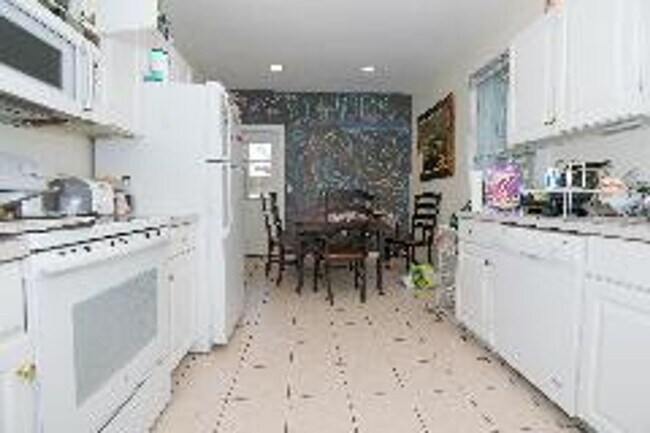
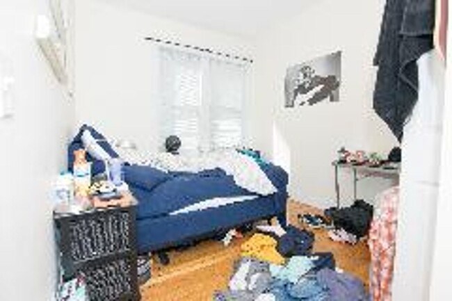
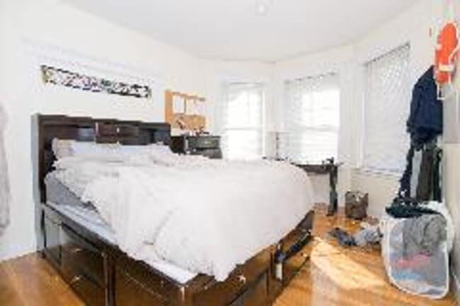
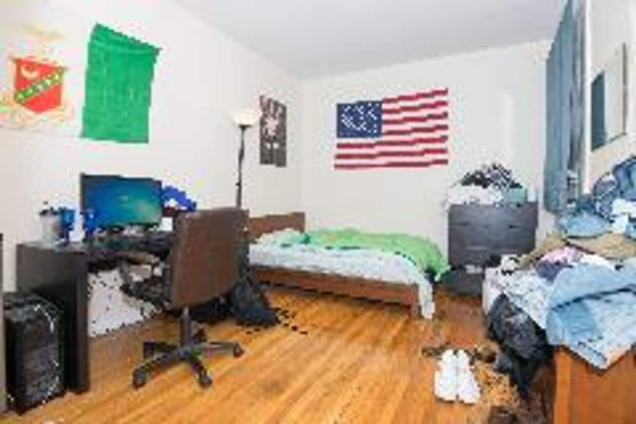
81 Gibbs St
Brookline, MA 02446
Today
|
Edit
Favorites
-
Bedrooms
5
-
Bathrooms
2
-
Square Feet
1,555 sq ft
81 Gibbs St

Favorites
About This Home
Beautiful 5 bed 2 bath apartment in Brookline, close to the Green Line. Transportation: Bus: 66 Harvard St opp Verndale St (0.18 mi) Tram: C Coolidge Corner (0.53 mi) Tram: B Packard's Corner (0.18 mi) Bus: 57 Brighton Ave @ Commonwealth Ave (0.22 mi) Bus: 501 Cambridge St @ Franklin St (0.57 mi)
81 Gibbs St is a condo located in Norfolk County and the 02446 ZIP Code.
* Price shown is total price based on community-supplied monthly required fees. Excludes user-selected optional fees and variable or usage-based fees and required charges due at or prior to move-in or at move-out. Price, availability, fees, and any applicable rent special are subject to change without notice.
* Square footage definitions vary. Displayed square footage is approximate.
Contact
- Listed by Modern Real Estate (AD) | Modern Real Estate (AD)
Location
Get Directions
Adjacent to Boston, Brookline combines city accessibility with tree-lined residential streets. This 6.8-square-mile community features distinct neighborhoods, from the active streets of North Brookline to the established estates of South Brookline. The rental market reflects the area's desirability, with average rents ranging from $2,515 for studios to $5,882 for four-bedroom homes. Coolidge Corner and Washington Square serve as central commercial districts, where historic architecture houses independent shops and the landmark Coolidge Corner Theatre.
The town's green spaces include the Emerald Necklace park system, designed by Frederick Law Olmsted, and Larz Anderson Park, which spans 64 acres and houses the Larz Anderson Auto Museum. Commuters benefit from MBTA Green Line access via the C and D branches, providing direct routes to downtown Boston. Brookline's public schools consistently rank among Massachusetts' top districts. The area's notable landmarks include the John F.
Learn more about living in Brookline
Education
| Colleges & Universities | Distance | ||
|---|---|---|---|
| Colleges & Universities | Distance | ||
| Drive: | 3 min | 1.1 mi | |
| Drive: | 4 min | 1.8 mi | |
| Drive: | 5 min | 1.9 mi | |
| Drive: | 5 min | 1.9 mi |
81 Gibbs St is within 3 minutes or 1.1 miles from Boston University. It is also near Lesley Univ., Art Institute and Simmons College.
Transportation options available in Brookline include Packard's Corner Station, located 0.3 mile from 81 Gibbs St. 81 Gibbs St is near General Edward Lawrence Logan International, located 8.8 miles or 16 minutes away.
| Transit / Subway | Distance | ||
|---|---|---|---|
| Transit / Subway | Distance | ||
|
|
Walk: | 5 min | 0.3 mi |
|
|
Walk: | 7 min | 0.4 mi |
|
|
Walk: | 7 min | 0.4 mi |
|
|
Walk: | 9 min | 0.5 mi |
|
|
Walk: | 11 min | 0.6 mi |
| Commuter Rail | Distance | ||
|---|---|---|---|
| Commuter Rail | Distance | ||
|
|
Drive: | 7 min | 2.8 mi |
|
|
Drive: | 6 min | 2.9 mi |
|
|
Drive: | 11 min | 3.3 mi |
|
|
Drive: | 8 min | 3.9 mi |
| Drive: | 11 min | 5.6 mi |
| Airports | Distance | ||
|---|---|---|---|
| Airports | Distance | ||
|
General Edward Lawrence Logan International
|
Drive: | 16 min | 8.8 mi |
Time and distance from 81 Gibbs St.
| Shopping Centers | Distance | ||
|---|---|---|---|
| Shopping Centers | Distance | ||
| Walk: | 7 min | 0.4 mi | |
| Walk: | 19 min | 1.0 mi | |
| Drive: | 4 min | 1.5 mi |
81 Gibbs St has 3 shopping centers within 1.5 miles, which is about a 4-minute walk. The miles and minutes will be for the farthest away property.
| Parks and Recreation | Distance | ||
|---|---|---|---|
| Parks and Recreation | Distance | ||
|
John Fitzgerald Kennedy National Historic Site
|
Walk: | 7 min | 0.4 mi |
|
Coit Observatory
|
Drive: | 4 min | 1.6 mi |
|
Chestnut Hill Reservation
|
Drive: | 4 min | 2.2 mi |
|
Frederick Law Olmsted National Historic Site
|
Drive: | 6 min | 2.2 mi |
|
Charles River Reservation
|
Drive: | 6 min | 2.7 mi |
81 Gibbs St has 5 parks within 2.7 miles, including John Fitzgerald Kennedy National Historic Site, Coit Observatory, and Charles River Reservation.
| Hospitals | Distance | ||
|---|---|---|---|
| Hospitals | Distance | ||
| Walk: | 7 min | 0.4 mi | |
| Drive: | 3 min | 1.3 mi | |
| Drive: | 3 min | 1.5 mi |
81 Gibbs St has 3 hospitals within 1.5 miles, the nearest is Arbour Human Resource Institute which is 0.4 mile away and a 7 minute walk.
| Military Bases | Distance | ||
|---|---|---|---|
| Military Bases | Distance | ||
| Drive: | 27 min | 14.2 mi | |
| Drive: | 25 min | 14.9 mi |
81 Gibbs St is 14.2 miles from Hanscom Air Force Base, and is convenient to other military bases, including US Military Reservation.
You May Also Like
Similar Rentals Nearby


What Are Walk Score®, Transit Score®, and Bike Score® Ratings?
Walk Score® measures the walkability of any address. Transit Score® measures access to public transit. Bike Score® measures the bikeability of any address.
What is a Sound Score Rating?
A Sound Score Rating aggregates noise caused by vehicle traffic, airplane traffic and local sources
81 Gibbs St
Brookline, MA 02446