HOHM
3905 Bank St,
Baltimore, MD 21224
$1,420 - $3,500
Studio - 4 Beds


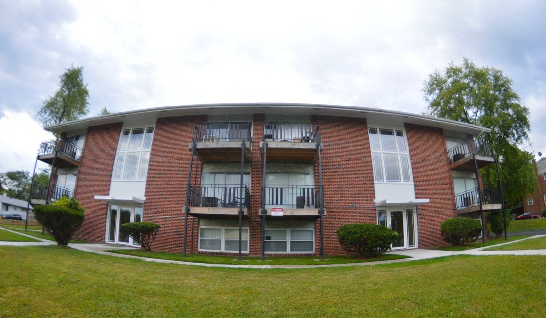
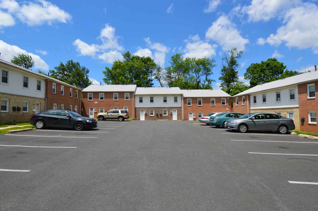
Discover Laurelton Ridge Apartments. This community is located on Laurelton Ave in Baltimore. Let the professional leasing staff show you everything this community has in store. Experience a new standard at Laurelton Ridge Apartments.
Laurelton Ridge Apartments is an apartment community located in Baltimore City County and the 21214 ZIP Code. This area is served by the Baltimore City Public Schools attendance zone.
Air Conditioning
Refrigerator
Patio
Office
Harford-Echodale-Perring Parkway is a suburban community situated just five miles north Downtown Baltimore. The western border of the neighborhood runs along Mount Pleasant Woods Park, providing residents with a scenic escape close to home. The majority of Harford-Echodale-Perring Parkway is residential with an array of affordable apartments for rent. For shopping and dining, residents have the choice of going into Downtown Baltimore or traveling a short distance north into Towson to places like Towson Town Center and Towson Place. Additional features surrounding this neighborhood include sprawling golf courses and community parks.
Learn more about living in Harford-Echodale-Perring Parkway| Colleges & Universities | Distance | ||
|---|---|---|---|
| Colleges & Universities | Distance | ||
| Drive: | 7 min | 2.5 mi | |
| Drive: | 10 min | 3.2 mi | |
| Drive: | 13 min | 4.7 mi | |
| Drive: | 13 min | 4.9 mi |
 The GreatSchools Rating helps parents compare schools within a state based on a variety of school quality indicators and provides a helpful picture of how effectively each school serves all of its students. Ratings are on a scale of 1 (below average) to 10 (above average) and can include test scores, college readiness, academic progress, advanced courses, equity, discipline and attendance data. We also advise parents to visit schools, consider other information on school performance and programs, and consider family needs as part of the school selection process.
Transportation options available in Baltimore include North Avenue, located 5.8 miles from Laurelton Ridge Apartments. Laurelton Ridge Apartments is near Baltimore/Washington International Thurgood Marshall, located 16.9 miles or 36 minutes away.
| Transit / Subway | Distance | ||
|---|---|---|---|
| Transit / Subway | Distance | ||
|
|
Drive: | 15 min | 5.8 mi |
|
|
Drive: | 14 min | 5.8 mi |
| Drive: | 16 min | 6.2 mi | |
|
|
Drive: | 16 min | 6.3 mi |
|
|
Drive: | 16 min | 6.9 mi |
| Commuter Rail | Distance | ||
|---|---|---|---|
| Commuter Rail | Distance | ||
|
|
Drive: | 15 min | 5.7 mi |
|
|
Drive: | 20 min | 7.3 mi |
|
|
Drive: | 23 min | 8.6 mi |
|
|
Drive: | 21 min | 11.1 mi |
|
|
Drive: | 32 min | 17.1 mi |
| Airports | Distance | ||
|---|---|---|---|
| Airports | Distance | ||
|
Baltimore/Washington International Thurgood Marshall
|
Drive: | 36 min | 16.9 mi |
Time and distance from Laurelton Ridge Apartments.
| Shopping Centers | Distance | ||
|---|---|---|---|
| Shopping Centers | Distance | ||
| Walk: | 9 min | 0.5 mi | |
| Walk: | 20 min | 1.1 mi | |
| Drive: | 5 min | 1.7 mi |
| Parks and Recreation | Distance | ||
|---|---|---|---|
| Parks and Recreation | Distance | ||
|
Maryland Natural History Society
|
Drive: | 6 min | 2.5 mi |
|
Herring Run Park
|
Drive: | 9 min | 3.1 mi |
|
Clifton Park
|
Drive: | 11 min | 4.1 mi |
|
Watson-King Planetarium
|
Drive: | 12 min | 4.6 mi |
|
Cromwell Valley Park
|
Drive: | 11 min | 4.7 mi |
| Hospitals | Distance | ||
|---|---|---|---|
| Hospitals | Distance | ||
| Drive: | 6 min | 2.4 mi | |
| Drive: | 11 min | 4.4 mi | |
| Drive: | 11 min | 4.5 mi |
| Military Bases | Distance | ||
|---|---|---|---|
| Military Bases | Distance | ||
| Drive: | 47 min | 26.6 mi |
What Are Walk Score®, Transit Score®, and Bike Score® Ratings?
Walk Score® measures the walkability of any address. Transit Score® measures access to public transit. Bike Score® measures the bikeability of any address.
What is a Sound Score Rating?
A Sound Score Rating aggregates noise caused by vehicle traffic, airplane traffic and local sources