
Sunset Trails
8655 Graves Ave,
Santee, CA 92071
$1,895 - $2,345
1-2 Beds
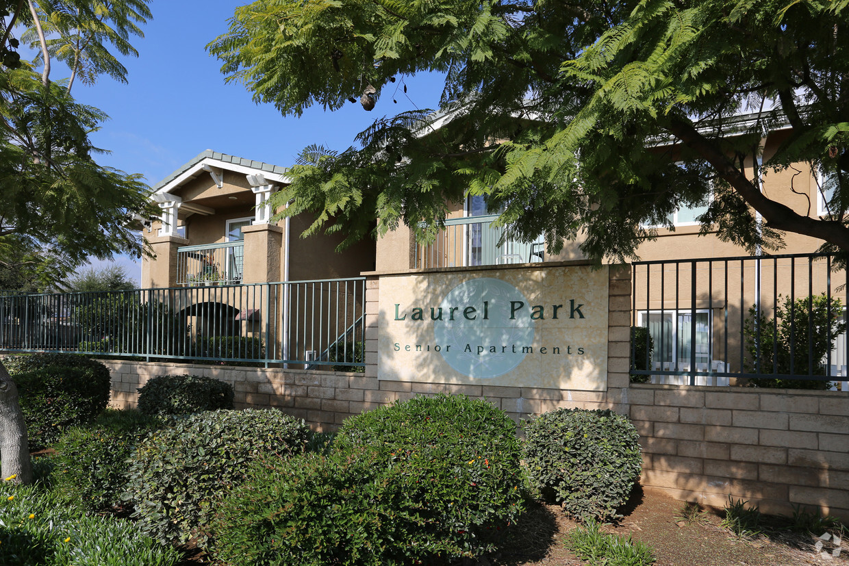
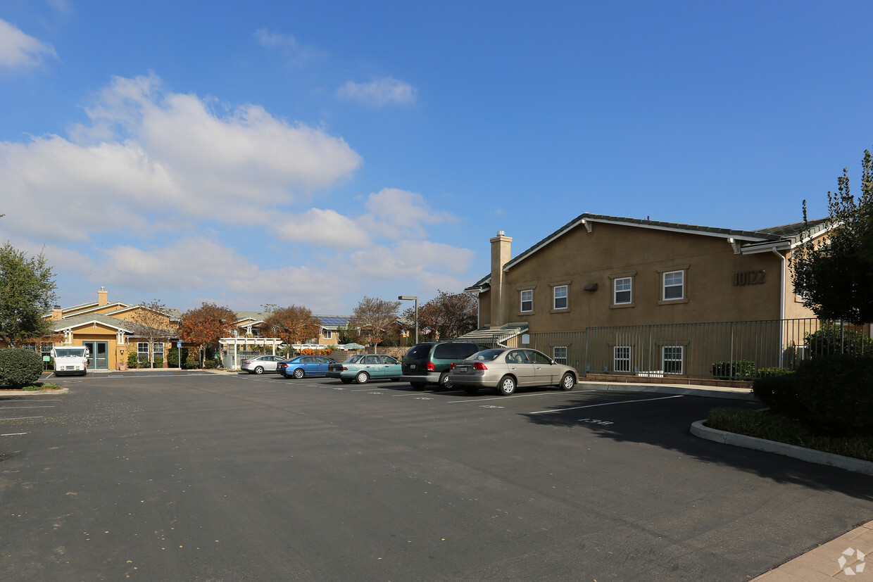
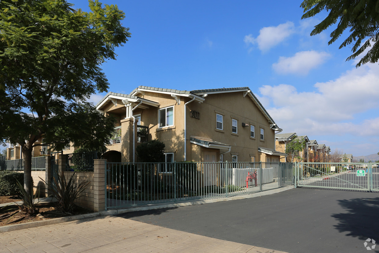
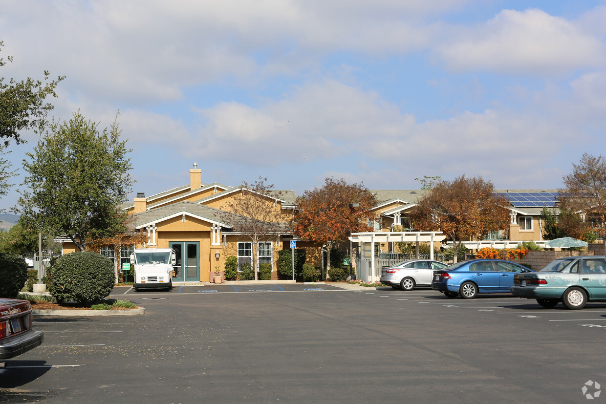
Thanks for visiting Laurel Park in Santee, CA. Make a visit to see the available floorplan options. From location to floorplan options, the team of leasing professionals is ready to help you find the perfect floorplan option. At Laurel Park, you'll have top amenities and features available to you. Drop by Laurel Park today.
Laurel Park is an apartment community located in San Diego County and the 92071 ZIP Code. This area is served by the Santee attendance zone.
Located about 19 miles northeast of San Diego, Santee is a charming East County suburb revered for its vast expanses of land as well as its many retail offerings. Santee contains an array of community parks, each providing ample opportunity for recreational activities like hiking, golfing, disc golfing, picnicking, soccer, softball, and more.
Bordering the expansive Mission Trails Regional Park, Santee residents enjoy access to more than 60 miles of trails, the San Diego River, and sweeping vistas. Santee’s ideal location between the Pacific Ocean and the rugged mountains of Cleveland National Forest lends even more potential for outdoor recreation nearby.
Santee’s downtown district is comprised of the 700-acre Town Center, which includes the Santee Trolley Square Mall along with a host of restaurants and shops connected by the Metropolitan Transit System trolley.
Learn more about living in SanteeCompare neighborhood and city base rent averages by bedroom.
| East County | Santee, CA | |
|---|---|---|
| Studio | $1,961 | $1,654 |
| 1 Bedroom | $2,185 | $2,084 |
| 2 Bedrooms | $2,968 | $2,471 |
| 3 Bedrooms | $3,588 | $2,791 |
| Colleges & Universities | Distance | ||
|---|---|---|---|
| Colleges & Universities | Distance | ||
| Drive: | 8 min | 3.7 mi | |
| Drive: | 18 min | 9.9 mi | |
| Drive: | 21 min | 11.3 mi | |
| Drive: | 21 min | 14.3 mi |


Transportation options available in Santee include Santee Town Center, located 0.9 mile from Laurel Park. Laurel Park is near San Diego International, located 21.0 miles or 28 minutes away.
| Transit / Subway | Distance | ||
|---|---|---|---|
| Transit / Subway | Distance | ||
|
|
Walk: | 17 min | 0.9 mi |
|
|
Walk: | 20 min | 1.1 mi |
|
|
Drive: | 6 min | 2.9 mi |
|
|
Drive: | 8 min | 3.7 mi |
|
|
Drive: | 8 min | 3.9 mi |
| Commuter Rail | Distance | ||
|---|---|---|---|
| Commuter Rail | Distance | ||
|
|
Drive: | 25 min | 18.5 mi |
|
|
Drive: | 24 min | 18.6 mi |
|
|
Drive: | 26 min | 18.6 mi |
|
|
Drive: | 33 min | 25.6 mi |
|
|
Drive: | 36 min | 29.2 mi |
| Airports | Distance | ||
|---|---|---|---|
| Airports | Distance | ||
|
San Diego International
|
Drive: | 28 min | 21.0 mi |
Time and distance from Laurel Park.
| Shopping Centers | Distance | ||
|---|---|---|---|
| Shopping Centers | Distance | ||
| Walk: | 10 min | 0.5 mi | |
| Walk: | 13 min | 0.7 mi | |
| Walk: | 13 min | 0.7 mi |
| Parks and Recreation | Distance | ||
|---|---|---|---|
| Parks and Recreation | Distance | ||
|
Lindo Lake County Park
|
Drive: | 9 min | 4.5 mi |
|
Mission Trails Regional Park
|
Drive: | 12 min | 6.6 mi |
|
Cactus County Park
|
Drive: | 16 min | 6.7 mi |
|
Hollenbeck Canyon Wildlife Area
|
Drive: | 12 min | 7.0 mi |
|
Mt. Helix Park
|
Drive: | 15 min | 8.2 mi |
| Hospitals | Distance | ||
|---|---|---|---|
| Hospitals | Distance | ||
| Drive: | 10 min | 6.5 mi | |
| Drive: | 12 min | 8.6 mi | |
| Drive: | 15 min | 9.5 mi |
| Military Bases | Distance | ||
|---|---|---|---|
| Military Bases | Distance | ||
| Drive: | 25 min | 16.4 mi | |
| Drive: | 24 min | 18.6 mi |
What Are Walk Score®, Transit Score®, and Bike Score® Ratings?
Walk Score® measures the walkability of any address. Transit Score® measures access to public transit. Bike Score® measures the bikeability of any address.
What is a Sound Score Rating?
A Sound Score Rating aggregates noise caused by vehicle traffic, airplane traffic and local sources

10122 Buena Vista Ave
Santee, CA 92071


