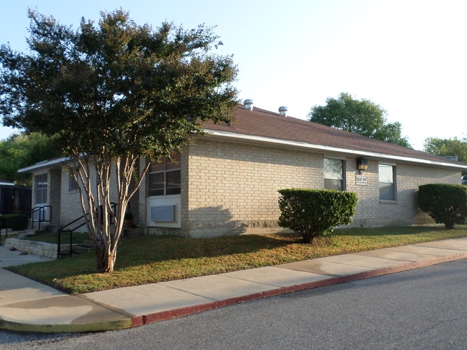
Kerrville Oaks Apartments

850 Clay St, Kerrville, TX 78028

2 Weeks Ago
Share Listing
Favorites
Kerrville Oaks Apartments
Share Listing
Favorites

About Kerrville Oaks Apartments

We will accommodate tours via Facebook messenger to respect social distancing.

Kerrville Oaks Apartments is an apartment community located in Kerr County and the 78028 ZIP Code. This area is served by the Kerrville Independent School District attendance zone.

Location
850 Clay St, Kerrville,
TX 78028
Get Directions
City - Kerrville

Kerrville is a small city in south-central Texas, positioned about 65 miles northwest of San Antonio and one hundred miles west of Austin. Several lush public parks are positioned along the banks of the Guadalupe River as it passes through town, giving residents terrific venues for enjoying the region’s natural beauty without even leaving town. The city boasts a vibrant arts community, hosting the state’s official Arts & Crafts Fair, the Kerrville Folk Festival, and the Museum of Western Art.

The small Schreiner University on the south side enrolls around 1,300 students and serves as a major cultural and intellectual hub for the community. The surrounding countryside offers endless opportunities for outdoor activities, from hiking to camping to hunting.

Learn more about living in Kerrville 
Education
Schools
Public Elementary School
Grades K-5
467 Students
Nearby
Public Elementary School
Grades PK-5
569 Students
Nearby
Public Elementary & Middle School
Grades 6
371 Students
Attendance Zone
Public Elementary School
Grades K-5
544 Students
Attendance Zone
Public Middle School
Grades 6-8
1,075 Students
Attendance Zone
Public High School
Grades 9-12
1,468 Students
Attendance Zone
Private Elementary & Middle School
Grades PK-8
132 Students
Nearby
Private Elementary, Middle & High School
Grades K-12
Nearby
Transportation

Walkability Near Kerrville Oaks Apartments

Getting Around
Fairly Walkable
Walkability
50 / 100
Very Drivable
Drivability
80 / 100
Fairly Bikeable
Bikeability
40 / 100

Scores provided by

What do Walkability, Transit, Drivability, and Bikeability mean? Walkability measures the walking distance to day-to-day needs. Transit measures access to public transportation. Drivability measures congestion, parking availability, and access to major roads. Bikeability measures the suitability for cycling. How It Works
Active
Soundscore
78 / 100

Traffic

Active

Airport

Calm

Businesses

Active

Scores provided by

HowLoud What is a Sound Score Rating? A Sound Score Rating aggregates noise caused by vehicle traffic, airplane traffic and local sources. How It Works
Points of Interest

Time and distance from Kerrville Oaks Apartments.

Shopping Centers Distance
Walk: 10 min 0.6 mi
Drive: 3 min 1.2 mi
Drive: 4 min 1.2 mi
Kerrville Oaks Apartments has 3 shopping centers within 1.2 miles, which is about a 4-minute drive. The miles and minutes will be for the farthest away property.
Parks and Recreation Distance
Riverside Nature Center
Walk: 20 min 1.0 mi
Kerrville-Schreiner Park
Drive: 14 min 4.8 mi
Kerrville Oaks Apartments has 2 parks within 4.8 miles, including Riverside Nature Center, and Kerrville-Schreiner Park.
Hospitals Distance
Hospitals Distance
Drive: 5 min 1.7 mi
Drive: 4 min 1.7 mi
Kerrville Oaks Apartments is 1.7 miles from Peterson Regional Medical Center, and is convenient to other hospitals, including Kerrville State Hospital.
Military Bases Distance
Drive: 56 min 46.1 mi
Drive: 81 min 60.2 mi
Drive: 84 min 71.5 mi
Kerrville Oaks Apartments has 3 military bases within 71.5 miles, the nearest is Camp Bullis Military Training Reservation which is 46.1 miles away and a 56 minute drive.