
Presidential Towers
555 W Madison St,
Chicago, IL 60661
$1,657 - $6,648
Studio - 2 Beds
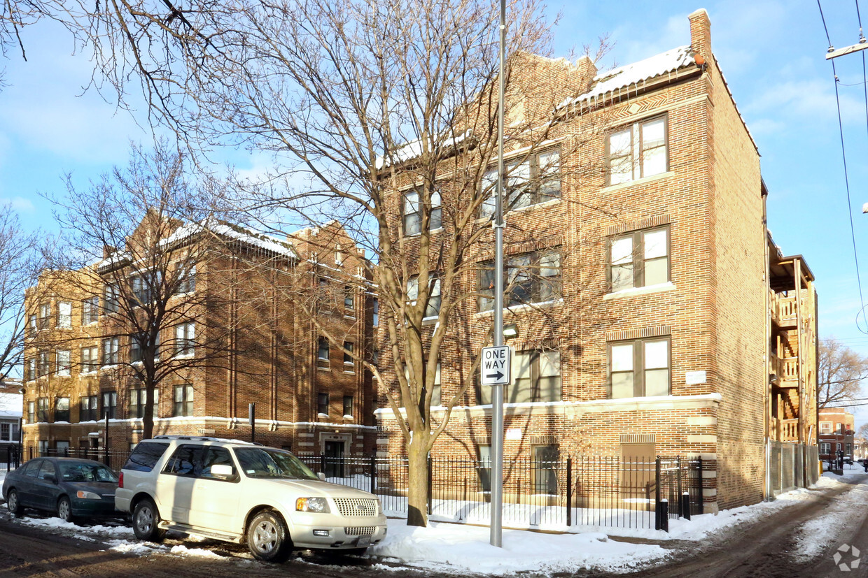
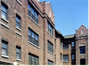
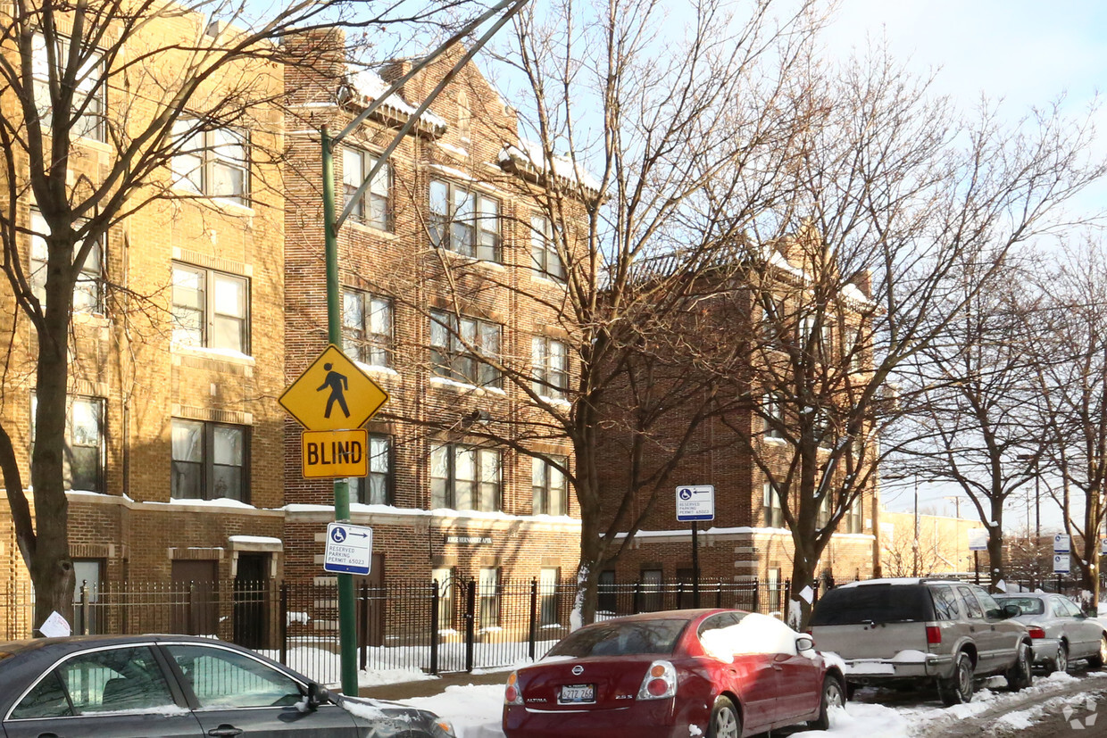
Jorge Hernandez Apartments in Chicago is ready to be your home. Situated in the 60639 area of Chicago on N. Kildare Ave, renters have easy access to a mixture of great attractions found in the neighborhood. Make a visit to view the available floorplans. Here at this community, the professional leasing team is excited to help you find the perfect place. Contact us or drop by the leasing office to find out current pricing and find your new home at Jorge Hernandez Apartments.
Jorge Hernandez Apartments is an apartment community located in Cook County and the 60639 ZIP Code. This area is served by the Chicago Public Schools attendance zone.
High Speed Internet Access
Stainless Steel Appliances
Smoke Free
Cable Ready
Hermosa is a residential community situated in the northwestern side of Chicago. Thanks to the town’s easy access to highways and public transportation, the less than 10-mile journey into Chicago is breeze. Hermosa is mostly made up of residences with a variety of apartments and condos available for rent. West Armitage Avenue is where the city holds its dining and shopping options. Additional retailers and restaurants are located just north of town at Hall Plaza Shopping Center. Hermosa has one park within town, but several other community parks surround the area. More outdoor adventures await at Lake Michigan, which sits just a few miles west.
Learn more about living in HermosaCompare neighborhood and city base rent averages by bedroom.
| Hermosa | Chicago, IL | |
|---|---|---|
| Studio | $595 | $1,645 |
| 1 Bedroom | $1,003 | $2,048 |
| 2 Bedrooms | $1,108 | $2,587 |
| 3 Bedrooms | $1,295 | $3,092 |
| Colleges & Universities | Distance | ||
|---|---|---|---|
| Colleges & Universities | Distance | ||
| Drive: | 9 min | 4.4 mi | |
| Drive: | 12 min | 4.5 mi | |
| Drive: | 9 min | 4.6 mi | |
| Drive: | 13 min | 5.0 mi |

Transportation options available in Chicago include Pulaski Station (Green Line), located 2.0 miles from Jorge Hernandez Apartments. Jorge Hernandez Apartments is near Chicago Midway International, located 9.9 miles or 18 minutes away, and Chicago O'Hare International, located 13.7 miles or 23 minutes away.
| Transit / Subway | Distance | ||
|---|---|---|---|
| Transit / Subway | Distance | ||
|
|
Drive: | 4 min | 2.0 mi |
|
|
Drive: | 6 min | 2.3 mi |
|
|
Drive: | 5 min | 2.4 mi |
|
|
Drive: | 6 min | 2.8 mi |
|
|
Drive: | 6 min | 2.9 mi |
| Commuter Rail | Distance | ||
|---|---|---|---|
| Commuter Rail | Distance | ||
|
|
Walk: | 17 min | 0.9 mi |
|
|
Drive: | 3 min | 1.6 mi |
|
|
Drive: | 4 min | 2.1 mi |
|
|
Drive: | 5 min | 2.4 mi |
|
|
Drive: | 7 min | 3.5 mi |
| Airports | Distance | ||
|---|---|---|---|
| Airports | Distance | ||
|
Chicago Midway International
|
Drive: | 18 min | 9.9 mi |
|
Chicago O'Hare International
|
Drive: | 23 min | 13.7 mi |
Scores provided by
Traffic
-Airport
-Businesses
-Scores provided by
HowLoud What is a Sound Score Rating? A Sound Score Rating aggregates noise caused by vehicle traffic, airplane traffic and local sources. How It WorksTime and distance from Jorge Hernandez Apartments.
| Shopping Centers | Distance | ||
|---|---|---|---|
| Shopping Centers | Distance | ||
| Walk: | 4 min | 0.2 mi | |
| Walk: | 8 min | 0.4 mi | |
| Walk: | 16 min | 0.9 mi |
| Parks and Recreation | Distance | ||
|---|---|---|---|
| Parks and Recreation | Distance | ||
|
LaFollette Park
|
Drive: | 4 min | 1.5 mi |
|
Humboldt Park
|
Drive: | 3 min | 2.0 mi |
|
Garfield Park and Golden Dome Field House
|
Drive: | 5 min | 2.7 mi |
|
Austin Town Hall Park
|
Drive: | 7 min | 3.2 mi |
|
Kilbourn Park
|
Drive: | 7 min | 3.6 mi |
| Hospitals | Distance | ||
|---|---|---|---|
| Hospitals | Distance | ||
| Drive: | 4 min | 2.0 mi | |
| Drive: | 5 min | 2.7 mi | |
| Drive: | 6 min | 3.1 mi |
| Military Bases | Distance | ||
|---|---|---|---|
| Military Bases | Distance | ||
| Drive: | 31 min | 21.4 mi | |
| Drive: | 41 min | 26.9 mi | |
| Drive: | 52 min | 31.9 mi |
What Are Walk Score®, Transit Score®, and Bike Score® Ratings?
Walk Score® measures the walkability of any address. Transit Score® measures access to public transit. Bike Score® measures the bikeability of any address.
What is a Sound Score Rating?
A Sound Score Rating aggregates noise caused by vehicle traffic, airplane traffic and local sources.

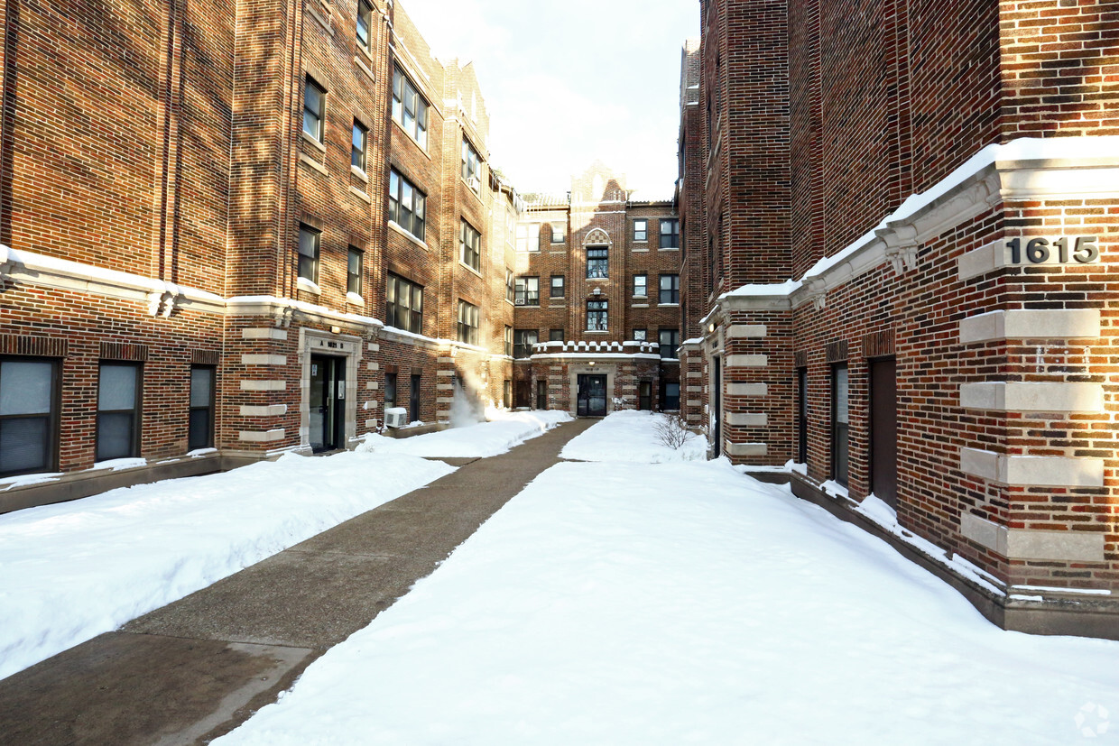
1615-1625 N Kildare Ave
Chicago, IL 60639


